
| Memorials | : | 2 |
| Location | : | Birmingham, Metropolitan Borough of Birmingham, England |
| Coordinate | : | 52.4874340, -1.9139250 |
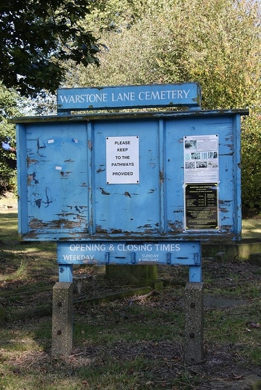
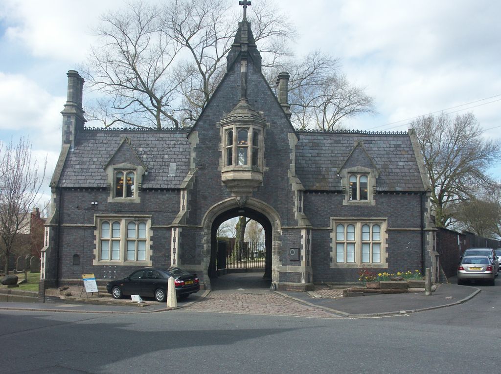
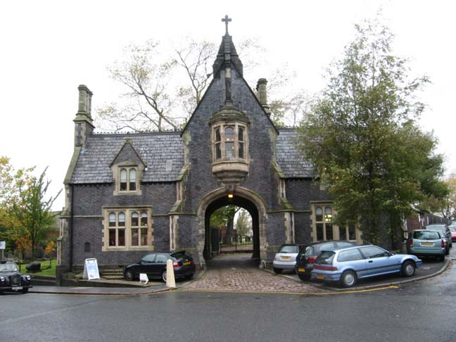
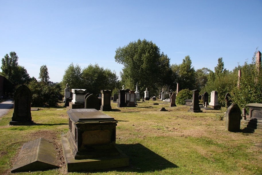
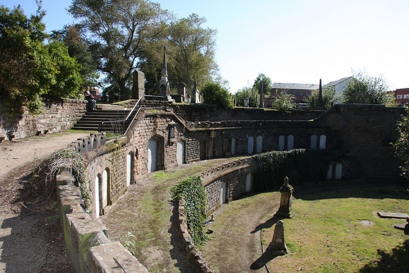
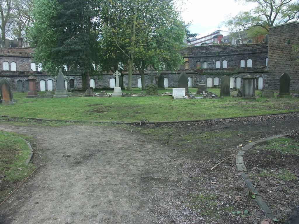
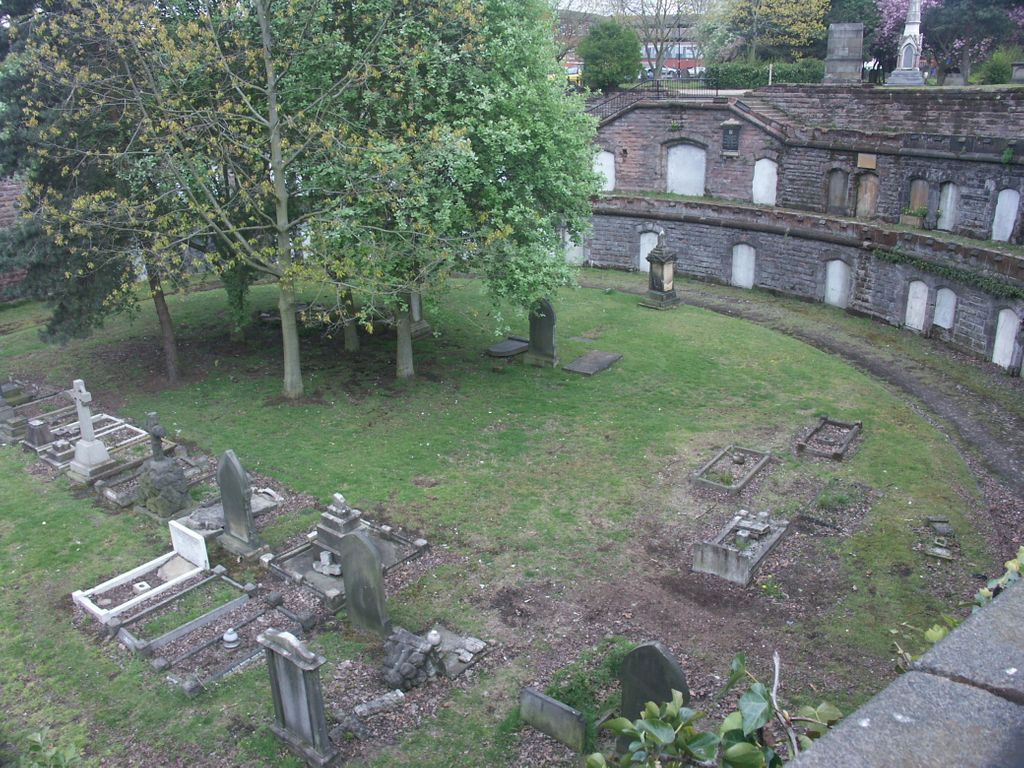
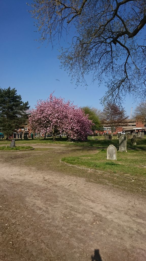
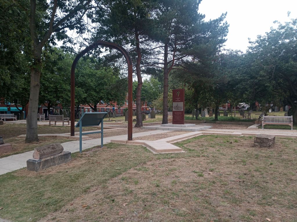
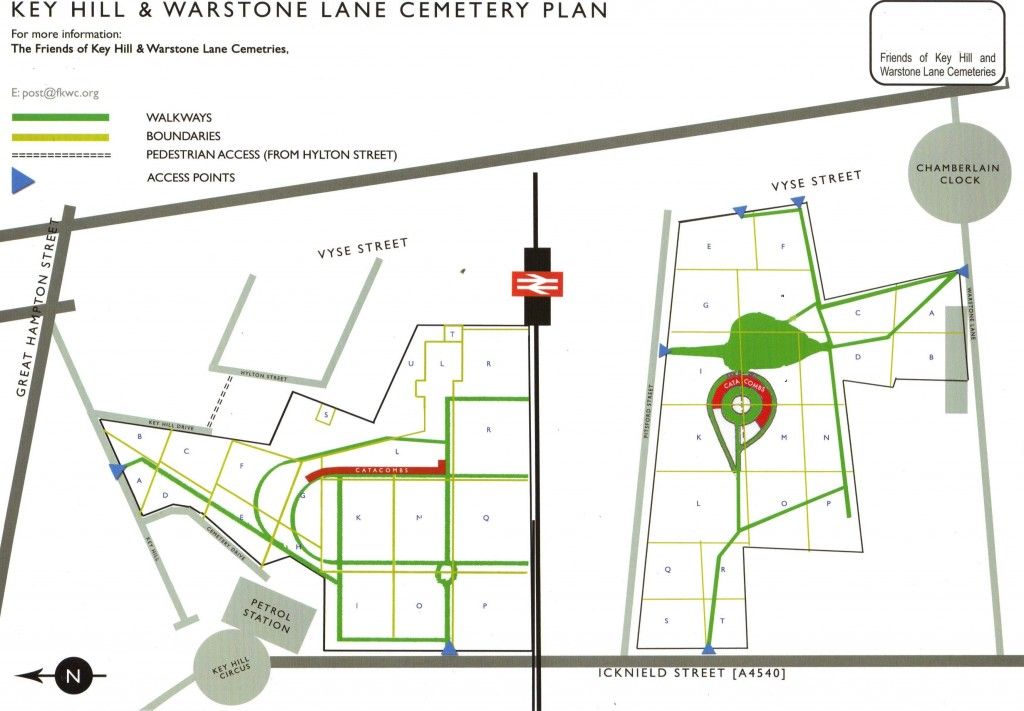
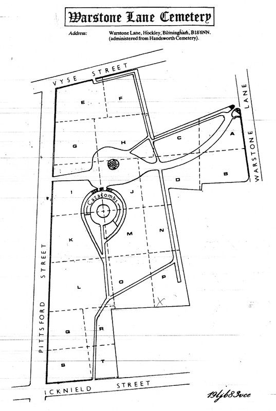
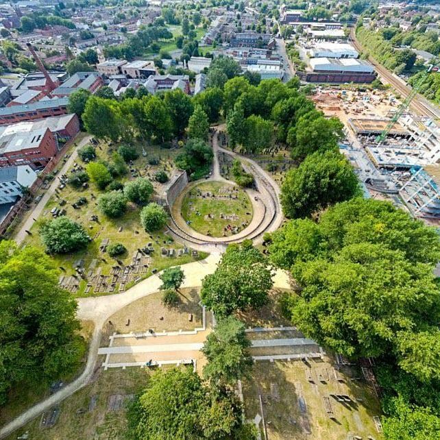
| Description | : | Warstone Lane Cemetery in Birmingham dates from 1847. It is one of two cemeteries in the city's Jewellery Quarter, in Hockley (the other being Key Hill Cemetery). It is no longer open to new burials. A major feature is the two tiers of catacombs, whose unhealthy vapours led to the Birmingham Cemeteries Act which required that non-interred coffins should be sealed with lead or pitch. The cemetery chapel erected in 1847, was demolished in 1954. The blue brick gate lodge, designed by Hamilton & Medland and built in 1847-8, still survives. The cemetery was originally reserved for Church... Read More |
frequently asked questions (FAQ):
-
Where is Warstone Lane Cemetery?
Warstone Lane Cemetery is located at Warstone Lane, Hockley Birmingham, Metropolitan Borough of Birmingham ,West Midlands , B18 6NNEngland.
-
Warstone Lane Cemetery cemetery's updated grave count on graveviews.com?
2 memorials
-
Where are the coordinates of the Warstone Lane Cemetery?
Latitude: 52.4874340
Longitude: -1.9139250
Nearby Cemetories:
1. Key Hill Cemetery
Birmingham, Metropolitan Borough of Birmingham, England
Coordinate: 52.4908400, -1.9158600
2. St. Paul's Churchyard
Birmingham, Metropolitan Borough of Birmingham, England
Coordinate: 52.4852472, -1.9057710
3. All Saints Churchyard
Hockley, Metropolitan Borough of Birmingham, England
Coordinate: 52.4915890, -1.9218570
4. Christ Church Churchyard
Birmingham, Metropolitan Borough of Birmingham, England
Coordinate: 52.4798000, -1.9020000
5. Birmingham Cathedral
Birmingham, Metropolitan Borough of Birmingham, England
Coordinate: 52.4812000, -1.8989060
6. Saint Marys Chapel (Defunct)
Birmingham, Metropolitan Borough of Birmingham, England
Coordinate: 52.4850600, -1.8961600
7. Old Quaker Burial Ground
Birmingham, Metropolitan Borough of Birmingham, England
Coordinate: 52.4823770, -1.8960750
8. St Thomas Bath Row
Birmingham, Metropolitan Borough of Birmingham, England
Coordinate: 52.4731740, -1.9062371
9. Birmingham Prison Cemetery
Birmingham, Metropolitan Borough of Birmingham, England
Coordinate: 52.4932060, -1.9372360
10. St Martin in the Bull Ring
Birmingham, Metropolitan Borough of Birmingham, England
Coordinate: 52.4770050, -1.8932950
11. St. James the Less Churchyard
Birmingham, Metropolitan Borough of Birmingham, England
Coordinate: 52.4867050, -1.8797570
12. St. Matthews Churchyard
Duddeston, Metropolitan Borough of Birmingham, England
Coordinate: 52.4905400, -1.8775100
13. St. Mary's Churchyard
Handsworth, Metropolitan Borough of Birmingham, England
Coordinate: 52.5106700, -1.9193690
14. St Bartholomew Churchyard
Edgbaston, Metropolitan Borough of Birmingham, England
Coordinate: 52.4606870, -1.9170890
15. Holy Trinity Churchyard
Bordesley, Metropolitan Borough of Birmingham, England
Coordinate: 52.4706200, -1.8776200
16. St Josephs Churchyard
Nechells, Metropolitan Borough of Birmingham, England
Coordinate: 52.4989600, -1.8710100
17. St Peter and St Paul Churchyard
Aston, Metropolitan Borough of Birmingham, England
Coordinate: 52.5070340, -1.8796590
18. St. Saviour Churchyard
Saltley, Metropolitan Borough of Birmingham, England
Coordinate: 52.4872100, -1.8579400
19. Smethwick Old Churchyard
Smethwick, Metropolitan Borough of Sandwell, England
Coordinate: 52.4869000, -1.9724600
20. Handsworth Cemetery
Handsworth, Metropolitan Borough of Birmingham, England
Coordinate: 52.5160120, -1.9531440
21. Smethwick Cemetery
Smethwick, Metropolitan Borough of Sandwell, England
Coordinate: 52.4868370, -1.9753820
22. St. Mary's Churchyard
Harborne, Metropolitan Borough of Birmingham, England
Coordinate: 52.4566000, -1.9540700
23. St John the Evangelist Churchyard
Perry Barr, Metropolitan Borough of Birmingham, England
Coordinate: 52.5260757, -1.9005234
24. Birmingham Crematorium
Birmingham, Metropolitan Borough of Birmingham, England
Coordinate: 52.5288170, -1.9094020