
| Memorials | : | 4 |
| Location | : | Aston, Metropolitan Borough of Birmingham, England |
| Coordinate | : | 52.5070340, -1.8796590 |
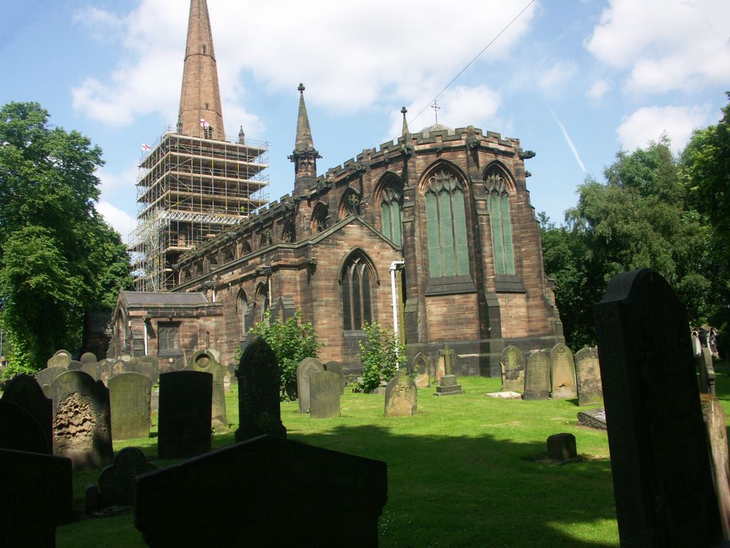
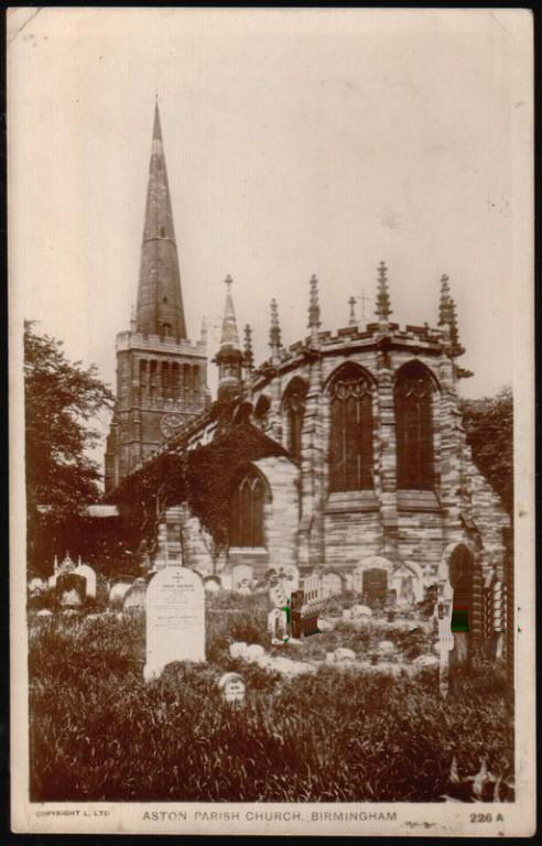
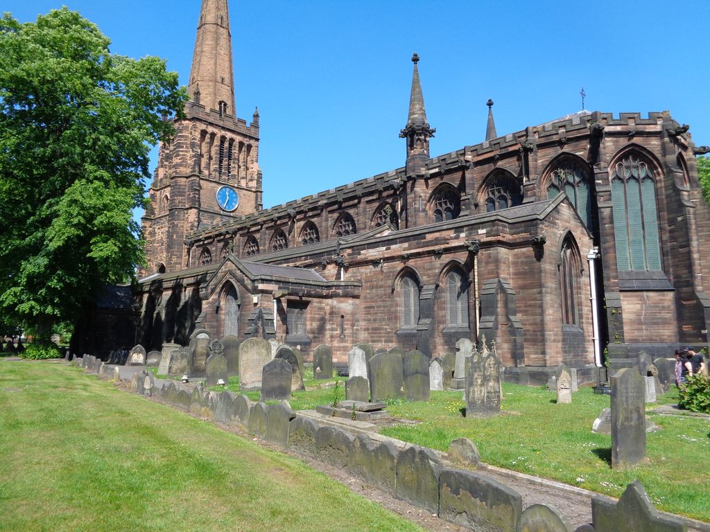
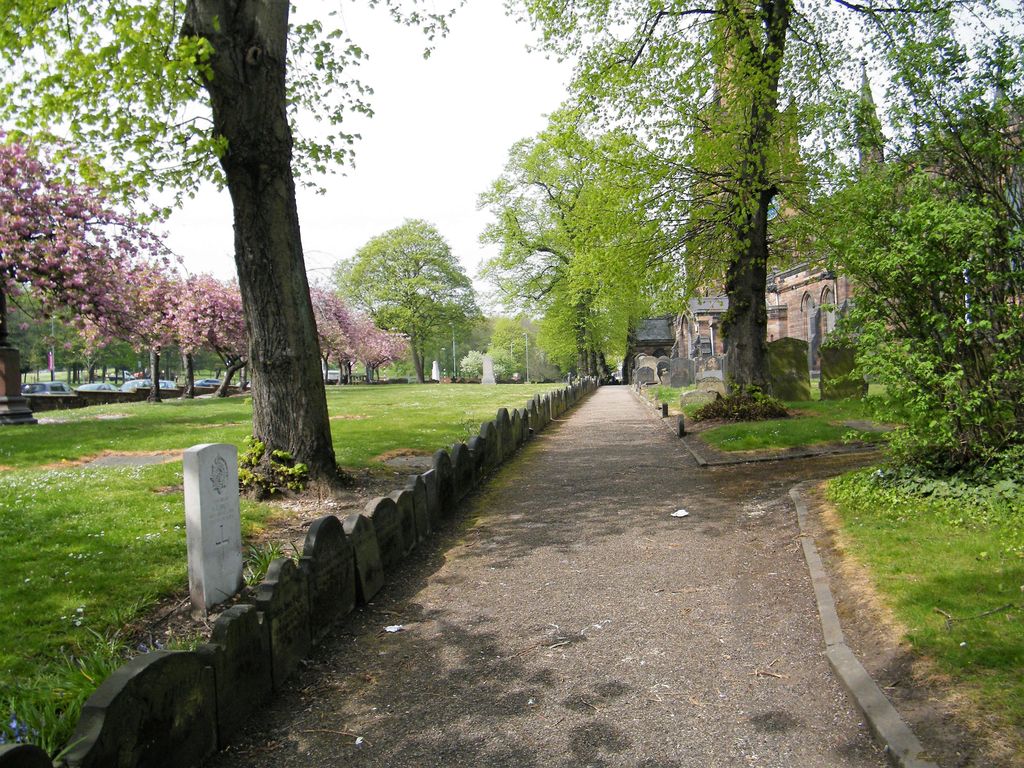
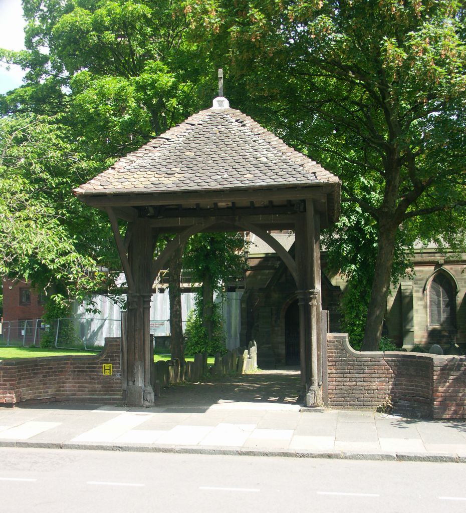
| Description | : | The church of St Peter & St Paul was probably started in the 9th century. The original building would have been wooden, and this was recorded in the Domesday Book of 1086. The Parish was huge with chapels of ease in Yardley, Water Orton and Castle Bromwich. It would have been impossible for these to be serviced by one priest and it is probable that Ss Peter & Paul was a minster church. The first masonry structure was completed in 1120. It was the second largest church in the West Midlands, just the original Coventry cathedral was larger. There was... Read More |
frequently asked questions (FAQ):
-
Where is St Peter and St Paul Churchyard?
St Peter and St Paul Churchyard is located at Witton Lane/Aston Hall Road Aston, Metropolitan Borough of Birmingham ,West Midlands , B6 6QAEngland.
-
St Peter and St Paul Churchyard cemetery's updated grave count on graveviews.com?
4 memorials
-
Where are the coordinates of the St Peter and St Paul Churchyard?
Latitude: 52.5070340
Longitude: -1.8796590
Nearby Cemetories:
1. St Josephs Churchyard
Nechells, Metropolitan Borough of Birmingham, England
Coordinate: 52.4989600, -1.8710100
2. St. Matthews Churchyard
Duddeston, Metropolitan Borough of Birmingham, England
Coordinate: 52.4905400, -1.8775100
3. Witton Cemetery
Witton, Metropolitan Borough of Birmingham, England
Coordinate: 52.5265230, -1.8827870
4. St. James the Less Churchyard
Birmingham, Metropolitan Borough of Birmingham, England
Coordinate: 52.4867050, -1.8797570
5. St John the Evangelist Churchyard
Perry Barr, Metropolitan Borough of Birmingham, England
Coordinate: 52.5260757, -1.9005234
6. St. Saviour Churchyard
Saltley, Metropolitan Borough of Birmingham, England
Coordinate: 52.4872100, -1.8579400
7. Saint Marys Chapel (Defunct)
Birmingham, Metropolitan Borough of Birmingham, England
Coordinate: 52.4850600, -1.8961600
8. St. Mary's Churchyard
Handsworth, Metropolitan Borough of Birmingham, England
Coordinate: 52.5106700, -1.9193690
9. Old Quaker Burial Ground
Birmingham, Metropolitan Borough of Birmingham, England
Coordinate: 52.4823770, -1.8960750
10. St. Paul's Churchyard
Birmingham, Metropolitan Borough of Birmingham, England
Coordinate: 52.4852472, -1.9057710
11. Witton Jewish Cemetery
Birmingham, Metropolitan Borough of Birmingham, England
Coordinate: 52.5342500, -1.8808700
12. Key Hill Cemetery
Birmingham, Metropolitan Borough of Birmingham, England
Coordinate: 52.4908400, -1.9158600
13. Birmingham Crematorium
Birmingham, Metropolitan Borough of Birmingham, England
Coordinate: 52.5288170, -1.9094020
14. Birmingham Cathedral
Birmingham, Metropolitan Borough of Birmingham, England
Coordinate: 52.4812000, -1.8989060
15. Warstone Lane Cemetery
Birmingham, Metropolitan Borough of Birmingham, England
Coordinate: 52.4874340, -1.9139250
16. St. Barnabas Churchyard
Erdington, Metropolitan Borough of Birmingham, England
Coordinate: 52.5225500, -1.8392400
17. All Saints Churchyard
Hockley, Metropolitan Borough of Birmingham, England
Coordinate: 52.4915890, -1.9218570
18. St. Margaret's Churchyard
Ward End, Metropolitan Borough of Birmingham, England
Coordinate: 52.4953100, -1.8341300
19. Christ Church Churchyard
Birmingham, Metropolitan Borough of Birmingham, England
Coordinate: 52.4798000, -1.9020000
20. St Martin in the Bull Ring
Birmingham, Metropolitan Borough of Birmingham, England
Coordinate: 52.4770050, -1.8932950
21. Erdington Greek Orthodox Churchyard
Erdington, Metropolitan Borough of Birmingham, England
Coordinate: 52.5267800, -1.8369700
22. St Thomas of Canterbury
Erdington, Metropolitan Borough of Birmingham, England
Coordinate: 52.5283500, -1.8356200
23. Holy Trinity Churchyard
Bordesley, Metropolitan Borough of Birmingham, England
Coordinate: 52.4706200, -1.8776200
24. St Thomas Bath Row
Birmingham, Metropolitan Borough of Birmingham, England
Coordinate: 52.4731740, -1.9062371