| Memorials | : | 0 |
| Location | : | Mize, Smith County, USA |
| Coordinate | : | 31.9184190, -89.5370930 |
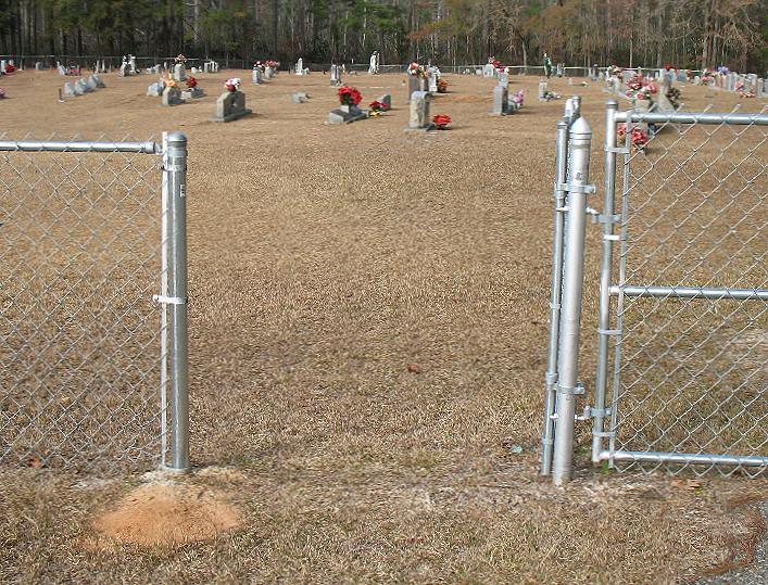
| Description | : | From Mize, Mississippi proceed East on Highway 28 1.3 miles to the intersection of Highway 35. Turn left (North) onto Hwy 35 and continue 3.3 miles on Hwy 35 to the intersection of Smith County Road 77 (SCR 77,) and turn left (West) onto SCR 77. In approximately one tenth of a mile, Smith County Road 79 (SCR 79) branches off to the right (North.) Remain on SCR 79 for 1.2 miles, Harmony Baptist Church and cemetery will be on the left (West) side of SCR 79, specifically: SE1/4 SW1/4, S13, T1N-R7E, Smith, Cohay Quadrangle map, USNG: 16R BA... Read More |
frequently asked questions (FAQ):
-
Where is Harmony Baptist Church Cemetery?
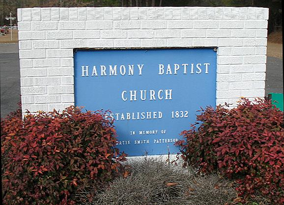
Harmony Baptist Church Cemetery is located at 3782 Smith County Road 79 Mize, Smith County ,Mississippi , 39116USA.
-
Harmony Baptist Church Cemetery cemetery's updated grave count on graveviews.com?
0 memorials
-
Where are the coordinates of the Harmony Baptist Church Cemetery?
Latitude: 31.9184190
Longitude: -89.5370930
Nearby Cemetories:
1. Dry Ridge Church Cemetery
Mize, Smith County, USA
Coordinate: 31.9099860, -89.5295840
2. Mozingo Cemetery
Smith County, USA
Coordinate: 31.9065342, -89.5250702
3. Fairmount Waco Cemetery
Mize, Smith County, USA
Coordinate: 31.9001100, -89.5419200
4. Pleasant Home Primitive Baptist Church Cemetery
Mize, Smith County, USA
Coordinate: 31.8905300, -89.5131000
5. Jones Cemetery
Mize, Smith County, USA
Coordinate: 31.8704500, -89.5296100
6. McAlpin Cemetery
Raleigh, Smith County, USA
Coordinate: 31.9644900, -89.5182000
7. Hancock Cemetery
Mize, Smith County, USA
Coordinate: 31.9387610, -89.4847580
8. South Raleigh Christian Cemetery
Mize, Smith County, USA
Coordinate: 31.9650100, -89.5195300
9. Tillson Cemetery
Mize, Smith County, USA
Coordinate: 31.9655800, -89.5187300
10. Speir Cemetery
Mize, Smith County, USA
Coordinate: 31.9158800, -89.4784100
11. Butler Cemetery
Mize, Smith County, USA
Coordinate: 31.9407280, -89.5959160
12. Rose Hill Cemetery
Mize, Smith County, USA
Coordinate: 31.8804100, -89.5848500
13. Unity Methodist Church Cemetery
Taylorsville, Smith County, USA
Coordinate: 31.9456500, -89.4735300
14. Mize Cemetery
Mize, Smith County, USA
Coordinate: 31.8576794, -89.5548096
15. Center Ridge Cemetery
Taylorsville, Smith County, USA
Coordinate: 31.9456710, -89.4705320
16. Union Baptist Church Cemetery
Raleigh, Smith County, USA
Coordinate: 31.9799600, -89.5219900
17. Bezer Cemetery
Raleigh, Smith County, USA
Coordinate: 31.9699993, -89.4894028
18. Pleasant Hills Mennonite Cemetery
Mize, Smith County, USA
Coordinate: 31.8613850, -89.5787720
19. Bezer Cemetery West
Bezer, Smith County, USA
Coordinate: 31.9746170, -89.4928284
20. Wilkinson Memorial Baptist Cemetery
Raleigh, Smith County, USA
Coordinate: 31.9817700, -89.5653800
21. Providence Baptist Church Cemetery
Mize, Smith County, USA
Coordinate: 31.8536400, -89.5126400
22. Ed Sullivan Cemetery
Mize, Smith County, USA
Coordinate: 31.8439500, -89.5484300
23. Byrd Cemetery
Mize, Smith County, USA
Coordinate: 31.8500920, -89.5831400
24. Calvary Cemetery
Mize, Smith County, USA
Coordinate: 31.8526400, -89.6007700


