
| Memorials | : | 0 |
| Location | : | Chesterfield Borough, England |
| Website | : | www.derbyshireheritage.co.uk/Menu/Buildings/Churches/heath-old-church.php |
| Coordinate | : | 53.1990661, -1.3240162 |
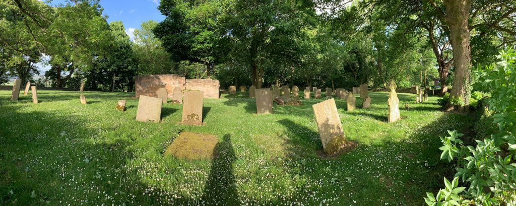
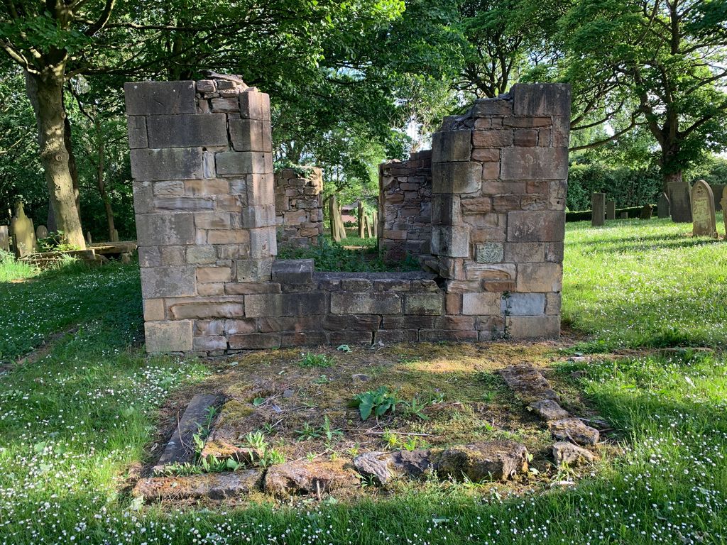
| Description | : | This Place of Worship was founded in the 12th century, but we understand it was closed in 1852. In Domesday, Heath was called "Lune", and afterwards "Lowne", or "Lund". It is on the road from Chesterfield to Mansfield, and in 1932 had a station 1 mile away on the Great Central section of the London and North Eastern railway, and was also a mile distant from Glapwell station on the Clown and Bolsover branch of the London, Midland and Scottish railway. It is five miles south-east of Chesterfield, and about 4 miles north-east of Clay Cross. The old church of All Saints... Read More |
frequently asked questions (FAQ):
-
Where is Heath Old Churchyard?
Heath Old Churchyard is located at Chesterfield Borough ,Derbyshire ,England.
-
Heath Old Churchyard cemetery's updated grave count on graveviews.com?
0 memorials
-
Where are the coordinates of the Heath Old Churchyard?
Latitude: 53.1990661
Longitude: -1.3240162

Nearby Cemetories:
1. All Saints Churchyard
Heath, North East Derbyshire District, England
Coordinate: 53.1988682, -1.3305255
2. All Saints Church
Heath, North East Derbyshire District, England
Coordinate: 53.1986620, -1.3305840
3. St John the Baptist Churchyard
Ault Hucknall, Bolsover District, England
Coordinate: 53.1821350, -1.3021210
4. Langwith Road Cemetery
Bolsover, Bolsover District, England
Coordinate: 53.2252800, -1.2883500
5. St. Mary Old Churchyard
Bolsover, Bolsover District, England
Coordinate: 53.2276370, -1.2909470
6. North Wingfield Municipal Cemetery
North Wingfield, North East Derbyshire District, England
Coordinate: 53.1813170, -1.3773240
7. St Peter & St Paul's Church
Duckmanton, North East Derbyshire District, England
Coordinate: 53.2385800, -1.3377020
8. Saint Leonard Churchyard
Scarcliffe, Bolsover District, England
Coordinate: 53.2139400, -1.2597200
9. Oxcroft Lane Cemetery
Bolsover, Bolsover District, England
Coordinate: 53.2374098, -1.2871212
10. St Michael Churchyard
Pleasley, Bolsover District, England
Coordinate: 53.1755900, -1.2469200
11. Hasland Cemetery
Hasland, North East Derbyshire District, England
Coordinate: 53.2122300, -1.4081600
12. St. Peter's Churchyard
Chesterfield, Chesterfield Borough, England
Coordinate: 53.2340842, -1.3902336
13. St. John the Baptist Churchyard
Tibshelf, Bolsover District, England
Coordinate: 53.1431860, -1.3427080
14. All Saints Churchyard
Wingerworth, North East Derbyshire District, England
Coordinate: 53.2027700, -1.4281100
15. Clay Cross Cemetery
Clay Cross, North East Derbyshire District, England
Coordinate: 53.1612080, -1.4072540
16. Clay Cross Central Methodist Church
Clay Cross, North East Derbyshire District, England
Coordinate: 53.1653476, -1.4151902
17. Spital Cemetery
Chesterfield, Chesterfield Borough, England
Coordinate: 53.2322980, -1.4160870
18. Staveley Cemetery
Staveley, Chesterfield Borough, England
Coordinate: 53.2619760, -1.3529670
19. Tibshelf Parish Cemetery
Tibshelf, Bolsover District, England
Coordinate: 53.1379378, -1.3628144
20. Saint Andrew's Parish Churchyard
Skegby, Ashfield District, England
Coordinate: 53.1429900, -1.2661100
21. St Mary and All Saints Churchyard
Chesterfield, Chesterfield Borough, England
Coordinate: 53.2363373, -1.4248396
22. St John the Baptist Churchyard
Staveley, Chesterfield Borough, England
Coordinate: 53.2690540, -1.3514830
23. Brimington Cemetery
Brimington, Chesterfield Borough, England
Coordinate: 53.2538000, -1.4043520
24. Chesterfield and District Crematorium
Chesterfield, Chesterfield Borough, England
Coordinate: 53.2532570, -1.4066520