
| Memorials | : | 0 |
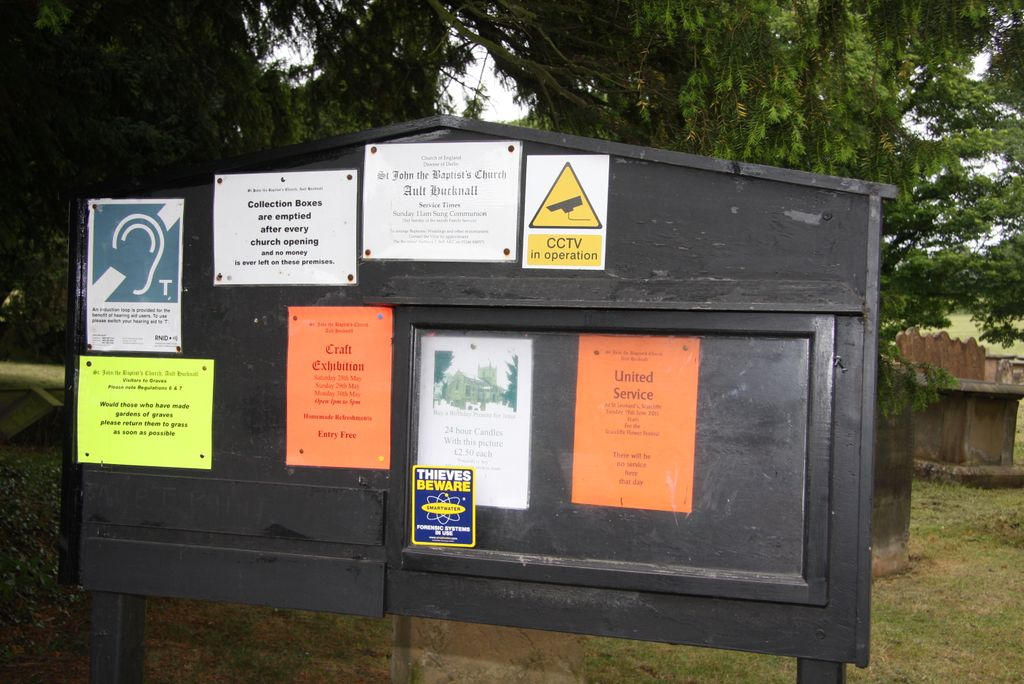
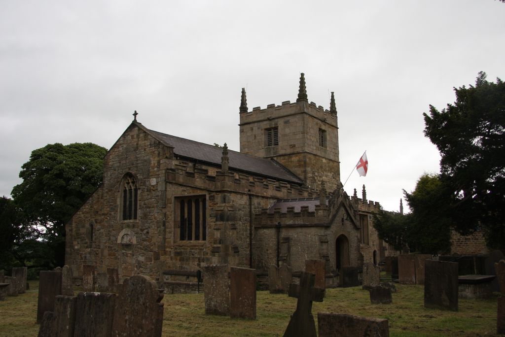
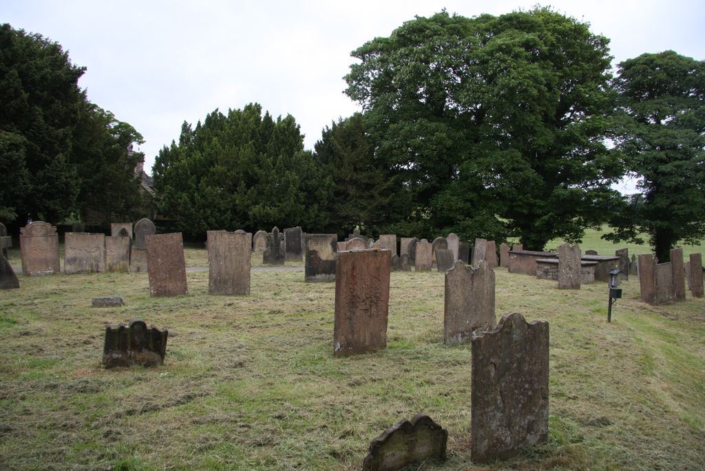
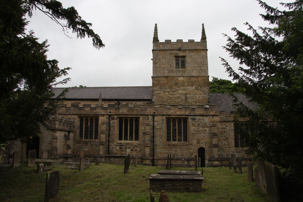
| Location | : | Ault Hucknall, Bolsover District, England |
| Coordinate | : | 53.1821350, -1.3021210 |
| Description | : | St John the Baptist in Ault Hucknall dates from the 11th century with 14 -15th century features. It was last restored in the late 19th century by William Butterfield. There is an extensive churchyard with extension south over Ault Hucknall Lane. |
frequently asked questions (FAQ):
-
Where is St John the Baptist Churchyard?
St John the Baptist Churchyard is located at Ault Hucknall, Bolsover District ,Derbyshire , S44 5QHEngland.
-
St John the Baptist Churchyard cemetery's updated grave count on graveviews.com?
0 memorials
-
Where are the coordinates of the St John the Baptist Churchyard?
Latitude: 53.1821350
Longitude: -1.3021210
Nearby Cemetories:
1. Heath Old Churchyard
Chesterfield Borough, England
Coordinate: 53.1990661, -1.3240162
2. All Saints Church
Heath, North East Derbyshire District, England
Coordinate: 53.1986620, -1.3305840
3. All Saints Churchyard
Heath, North East Derbyshire District, England
Coordinate: 53.1988682, -1.3305255
4. St Michael Churchyard
Pleasley, Bolsover District, England
Coordinate: 53.1755900, -1.2469200
5. Saint Leonard Churchyard
Scarcliffe, Bolsover District, England
Coordinate: 53.2139400, -1.2597200
6. Langwith Road Cemetery
Bolsover, Bolsover District, England
Coordinate: 53.2252800, -1.2883500
7. Saint Andrew's Parish Churchyard
Skegby, Ashfield District, England
Coordinate: 53.1429900, -1.2661100
8. North Wingfield Municipal Cemetery
North Wingfield, North East Derbyshire District, England
Coordinate: 53.1813170, -1.3773240
9. St. John the Baptist Churchyard
Tibshelf, Bolsover District, England
Coordinate: 53.1431860, -1.3427080
10. St. Mary Old Churchyard
Bolsover, Bolsover District, England
Coordinate: 53.2276370, -1.2909470
11. Oxcroft Lane Cemetery
Bolsover, Bolsover District, England
Coordinate: 53.2374098, -1.2871212
12. Tibshelf Parish Cemetery
Tibshelf, Bolsover District, England
Coordinate: 53.1379378, -1.3628144
13. St. Mary Magdalene Churchyard
Sutton-in-Ashfield, Ashfield District, England
Coordinate: 53.1255500, -1.2700820
14. St Peter & St Paul's Church
Duckmanton, North East Derbyshire District, England
Coordinate: 53.2385800, -1.3377020
15. Sutton Cemetery
Sutton-in-Ashfield, Ashfield District, England
Coordinate: 53.1238890, -1.2714690
16. St. Werburgh's Churchyard
Blackwell, Bolsover District, England
Coordinate: 53.1209850, -1.3380680
17. Clay Cross Cemetery
Clay Cross, North East Derbyshire District, England
Coordinate: 53.1612080, -1.4072540
18. St. Edmund King & Martyr Churchyard Extension
Mansfield, Mansfield District, England
Coordinate: 53.1638200, -1.1900600
19. Clay Cross Central Methodist Church
Clay Cross, North East Derbyshire District, England
Coordinate: 53.1653476, -1.4151902
20. Hasland Cemetery
Hasland, North East Derbyshire District, England
Coordinate: 53.2122300, -1.4081600
21. St. Peter's Churchyard
Chesterfield, Chesterfield Borough, England
Coordinate: 53.2340842, -1.3902336
22. St. Peter's Churchyard
Mansfield, Mansfield District, England
Coordinate: 53.1434700, -1.1928900
23. St. Michael and All Angels Churchyard
South Normanton, Bolsover District, England
Coordinate: 53.1091020, -1.3411800
24. All Saints Churchyard
Wingerworth, North East Derbyshire District, England
Coordinate: 53.2027700, -1.4281100