| Memorials | : | 70 |
| Location | : | Covington, Kenton County, USA |
| Phone | : | 859-261-5539 |
| Website | : | www.historiclindengrove.org |
| Coordinate | : | 39.0738983, -84.5152969 |
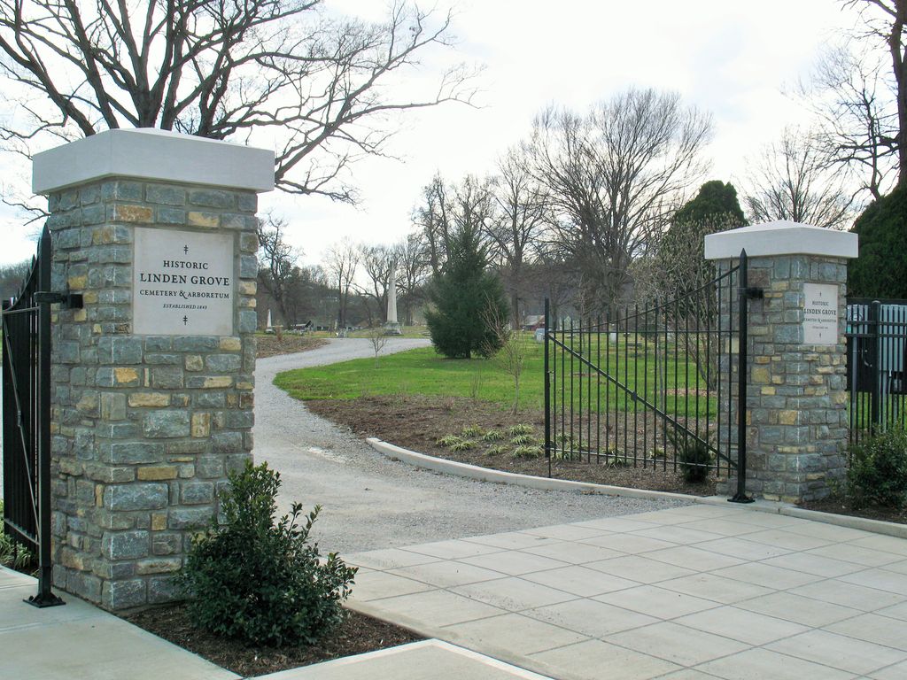
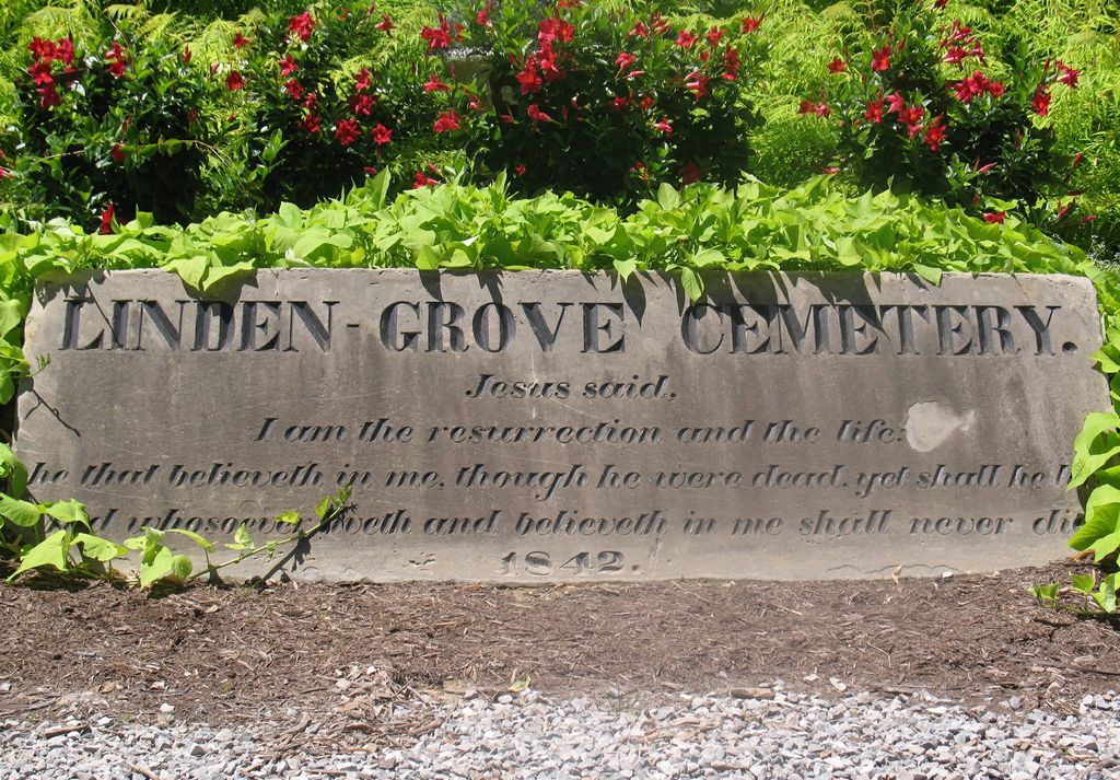
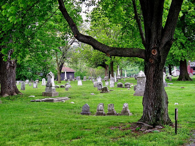
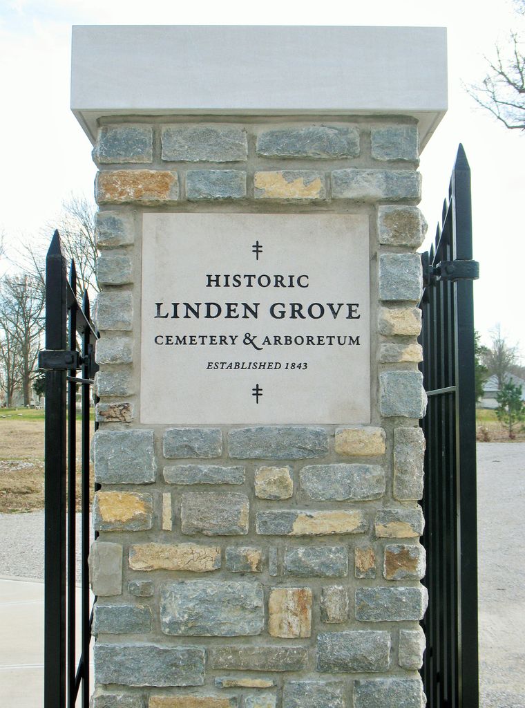
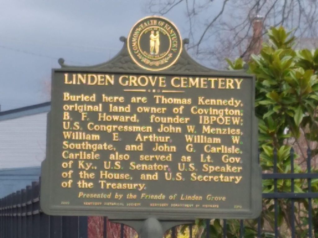
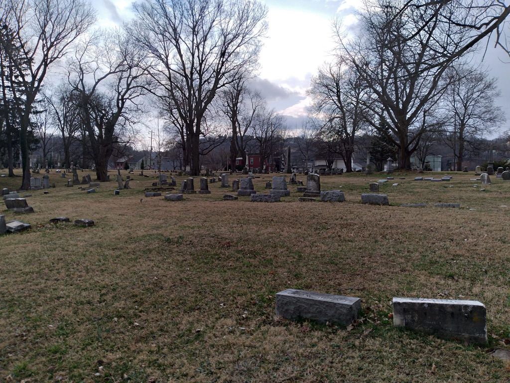
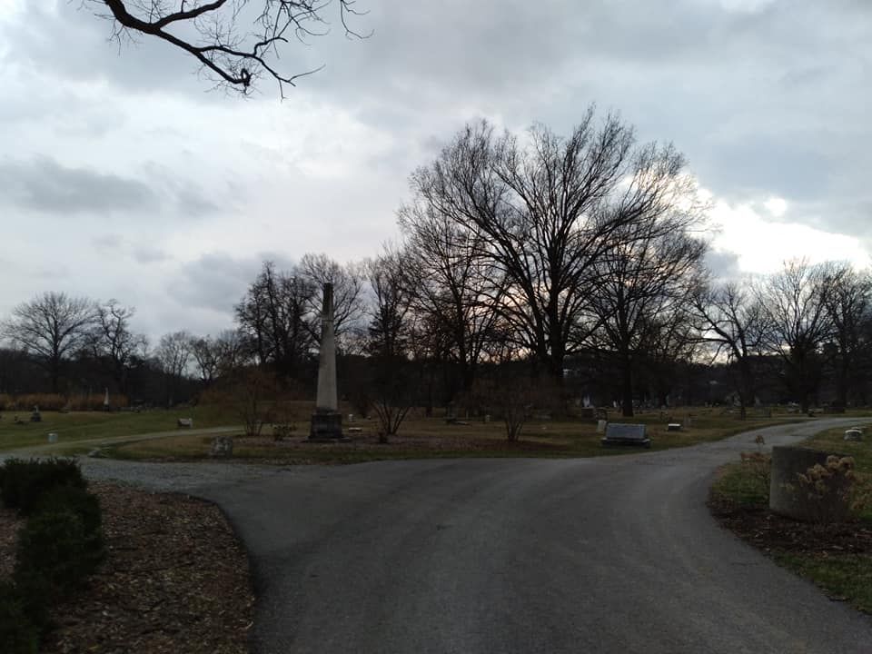
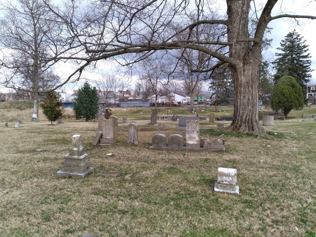
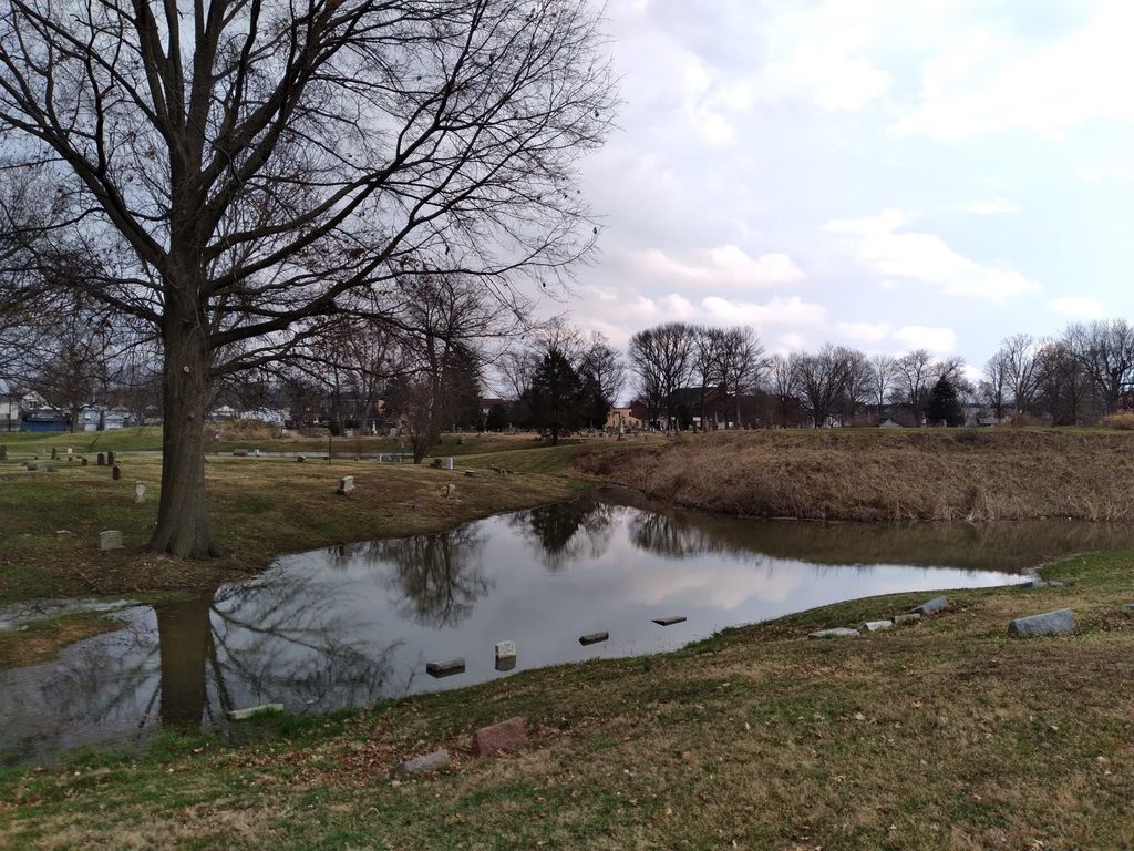
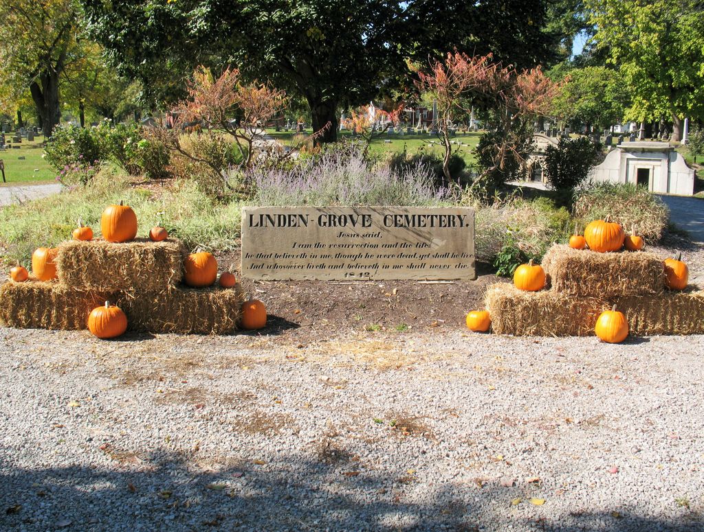
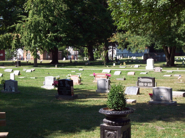
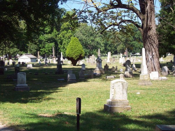
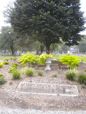
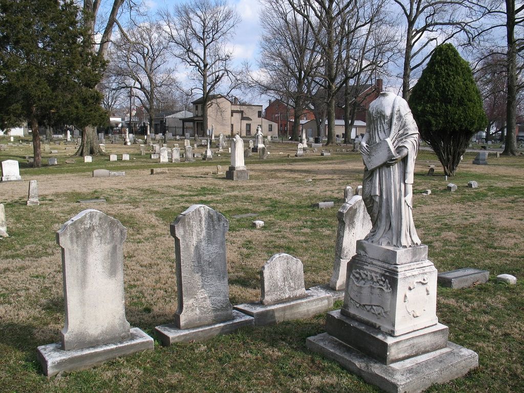
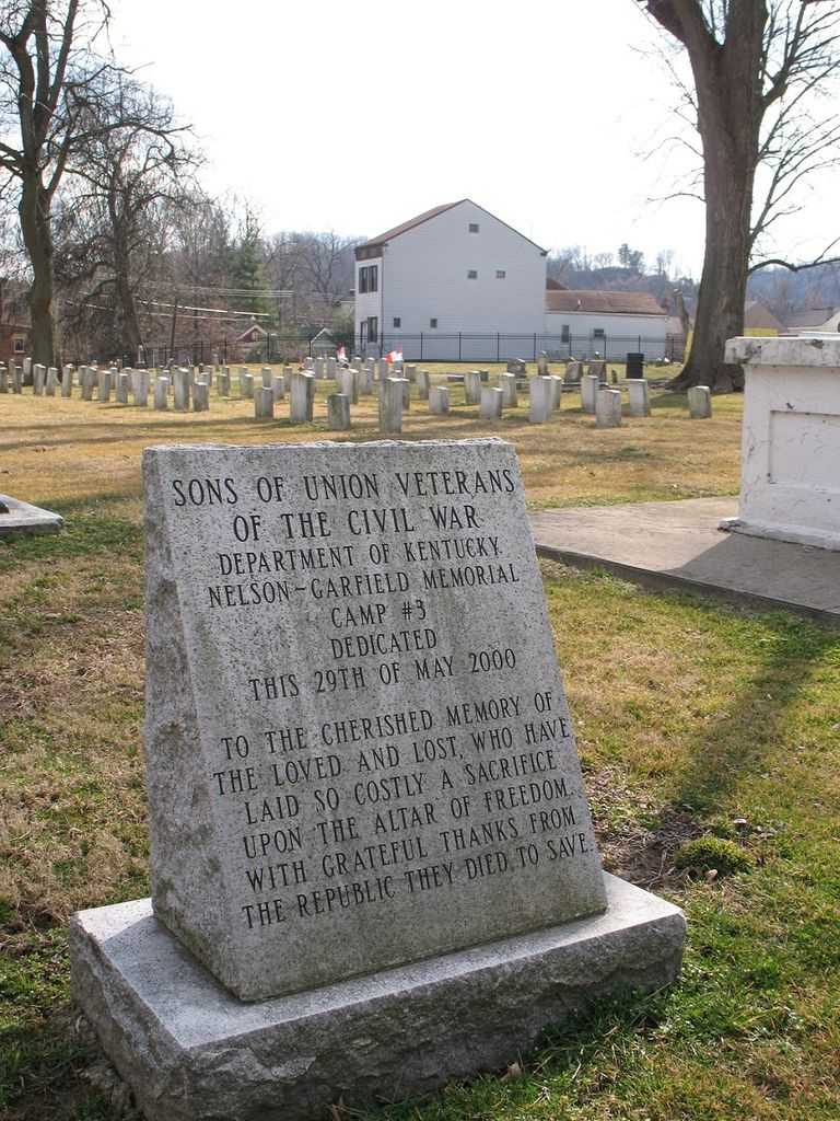
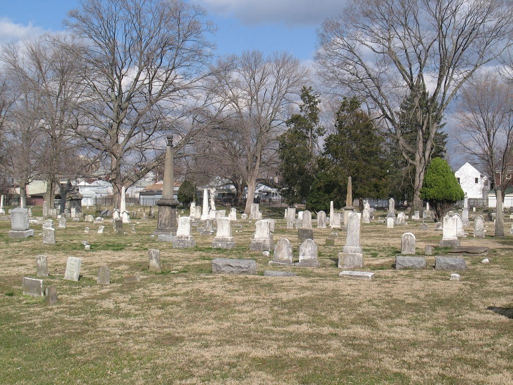
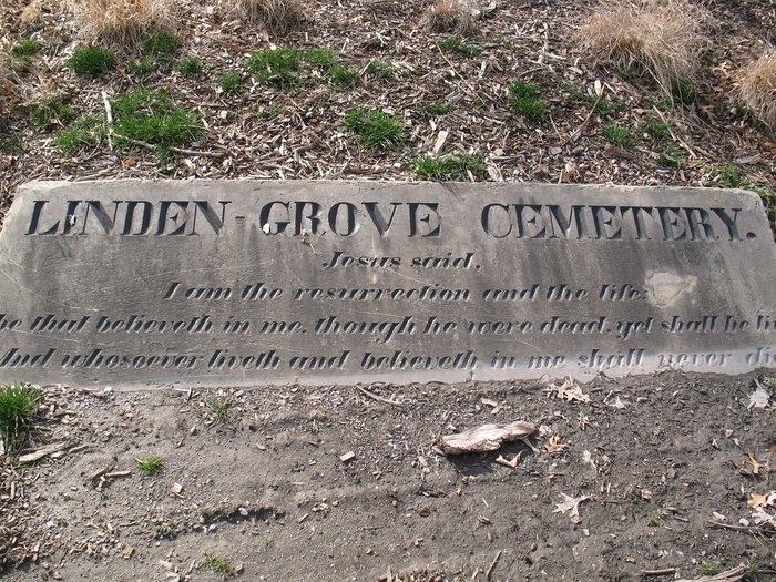
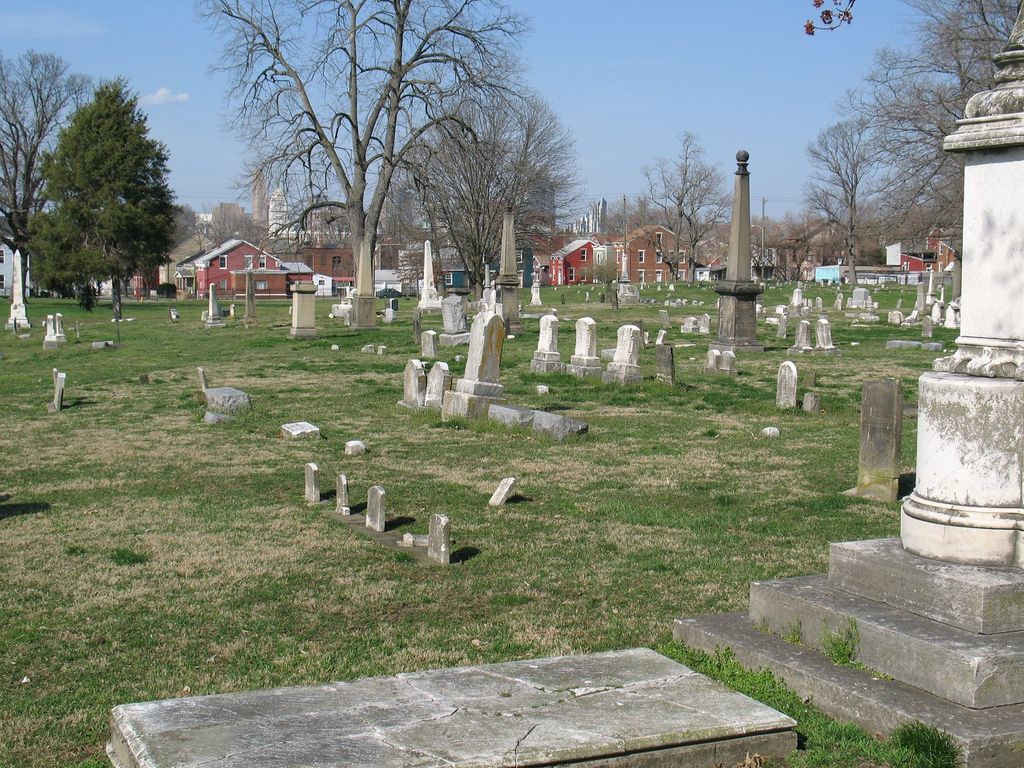
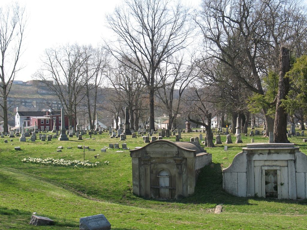
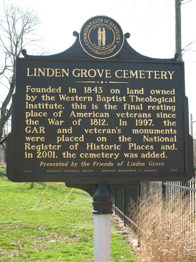
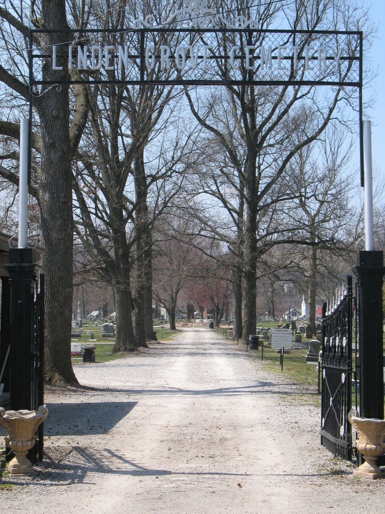
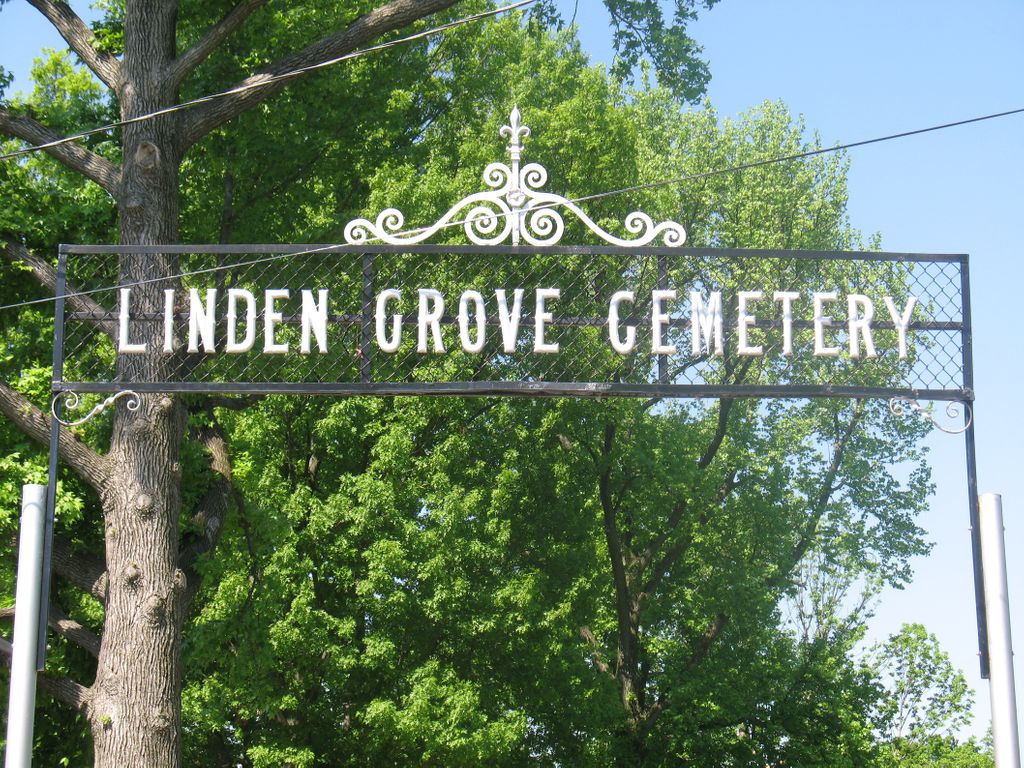
| Description | : | The defunct Western Baptist Theological Institute established the 22-acre cemetery in 1843 on a portion of its extensive property. The cemetery was originally called the Cincinnati and Covington Cemetery. Eventually, the city of Covington grew and surrounded the cemetery. The cemetery was placed in receivership in 1948. In 1998, the City of Covington and the Kenton County Fiscal Court established a Board of Overseers to manage and operate the Cemetery. The U.S. Geological Survey (USGS) Geographic Names Information System (GNIS) feature ID for the cemetery is 496566 (Linden Grove Cemetery). |
frequently asked questions (FAQ):
-
Where is Linden Grove Cemetery?
Linden Grove Cemetery is located at 1421 Holman Avenue Covington, Kenton County ,Kentucky , 41011USA.
-
Linden Grove Cemetery cemetery's updated grave count on graveviews.com?
65 memorials
-
Where are the coordinates of the Linden Grove Cemetery?
Latitude: 39.0738983
Longitude: -84.5152969
Nearby Cemetories:
1. Cathedral Basilica of the Assumption
Covington, Kenton County, USA
Coordinate: 39.0781120, -84.5081700
2. Craig Street Burying Ground
Covington, Kenton County, USA
Coordinate: 39.0840890, -84.5151330
3. Mother of God Church
Covington, Kenton County, USA
Coordinate: 39.0839600, -84.5125700
4. Trinity Episcopal Church Memorial Garden
Covington, Kenton County, USA
Coordinate: 39.0873540, -84.5106140
5. Sisters of Notre Dame Cemetery
Park Hills, Kenton County, USA
Coordinate: 39.0637530, -84.5303120
6. Buena Vista Cemetery
Covington, Kenton County, USA
Coordinate: 39.0595200, -84.5040000
7. Montague Cemetery
Covington, Kenton County, USA
Coordinate: 39.0805560, -84.5380550
8. Old Newport Cemetery
Newport, Campbell County, USA
Coordinate: 39.0877100, -84.4940800
9. Wilson Cemetery
Covington, Kenton County, USA
Coordinate: 39.0786110, -84.5438900
10. McCrackin Gravesite
Cincinnati, Hamilton County, USA
Coordinate: 39.0964090, -84.5082230
11. Madison Street Burying Ground
Newport, Campbell County, USA
Coordinate: 39.0922790, -84.4948560
12. Mother Of God Cemetery
Kenton Vale, Kenton County, USA
Coordinate: 39.0480995, -84.5171967
13. Mount Saint Martins Cemetery (Defunct)
Newport, Campbell County, USA
Coordinate: 39.0860570, -84.4845320
14. First Quaker Cemetery (Defunct)
Cincinnati, Hamilton County, USA
Coordinate: 39.1004360, -84.5201220
15. First Presbyterian Church Cemetery
Cincinnati, Hamilton County, USA
Coordinate: 39.1005310, -84.5102830
16. Christ Church Cathedral Columbarium
Cincinnati, Hamilton County, USA
Coordinate: 39.1009690, -84.5073790
17. Wesleyan Chapel Methodist Church Cemetery
Cincinnati, Hamilton County, USA
Coordinate: 39.1022390, -84.5073540
18. Saint John Cemetery
Fort Mitchell, Kenton County, USA
Coordinate: 39.0619011, -84.5550003
19. Enon Baptist Church Burying Ground (Defunct)
Cincinnati, Hamilton County, USA
Coordinate: 39.1065420, -84.5238110
20. Catherine Street Methodist Cemetery (Defunct)
Cincinnati, Hamilton County, USA
Coordinate: 39.1064840, -84.5243150
21. Chestnut Street Cemetery
Over-The-Rhine, Hamilton County, USA
Coordinate: 39.1071610, -84.5212210
22. Catherine Street Burying Ground
Cincinnati, Hamilton County, USA
Coordinate: 39.1067490, -84.5252700
23. Cote Brilliante World War II Memorial
Newport, Campbell County, USA
Coordinate: 39.0885220, -84.4754710
24. Evergreen Cemetery
Southgate, Campbell County, USA
Coordinate: 39.0667000, -84.4721985

