
| Memorials | : | 0 |
| Location | : | Beaconsfield, South Bucks District, England |
| Coordinate | : | 51.5964280, -0.6663890 |
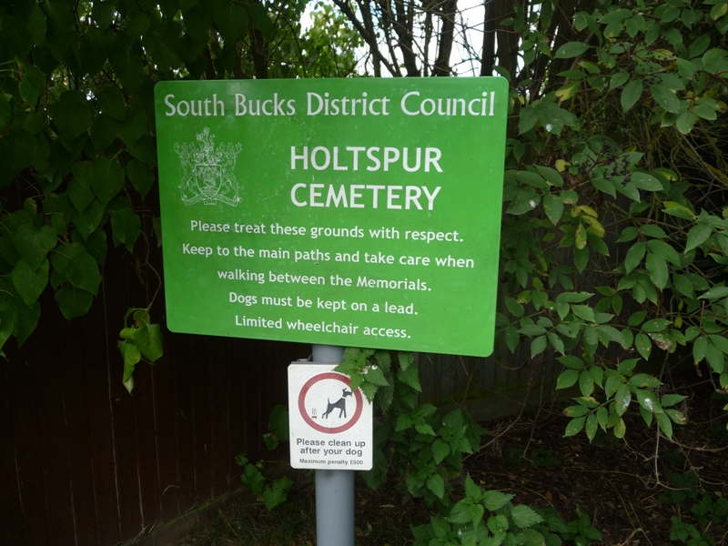
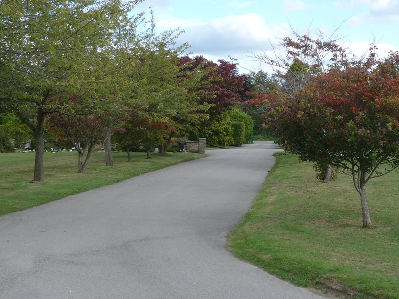
| Description | : | Opened in 1954 and is situated close to the A40 and Beaconsfield Town. This cemetery is divided into sections to allow a choice of memorial, full memorials and headstones, or flat tablets in the lawn section. |
frequently asked questions (FAQ):
-
Where is Holtspur Cemetery?
Holtspur Cemetery is located at Broad Lane Beaconsfield, South Bucks District ,Buckinghamshire ,England.
-
Holtspur Cemetery cemetery's updated grave count on graveviews.com?
0 memorials
-
Where are the coordinates of the Holtspur Cemetery?
Latitude: 51.5964280
Longitude: -0.6663890
Nearby Cemetories:
1. St Mary and All Saints Churchyard
Beaconsfield, South Bucks District, England
Coordinate: 51.6009660, -0.6370800
2. Bethesda Chapel Burial Ground
Beaconsfield, South Bucks District, England
Coordinate: 51.6028180, -0.6375190
3. St. Paul's Churchyard
Wooburn, Wycombe District, England
Coordinate: 51.5816640, -0.6886330
4. Shepherds Lane Cemetery
Beaconsfield, South Bucks District, England
Coordinate: 51.6044380, -0.6345890
5. Atlona Road Cemetery
Loudwater, Wycombe District, England
Coordinate: 51.6101490, -0.6932680
6. Altona Road Cemetery
Chepping Wycombe, Wycombe District, England
Coordinate: 51.6102200, -0.6938200
7. Wooburn & Bourne End Cemetery
Wooburn, Wycombe District, England
Coordinate: 51.5795260, -0.6919400
8. Bethel Chapel Cores End-Independent
Wooburn, Wycombe District, England
Coordinate: 51.5770400, -0.6971420
9. United Reformed Church Cemetery
Bourne End, Wycombe District, England
Coordinate: 51.5769930, -0.6972670
10. St Anne Churchyard
Dropmore, South Bucks District, England
Coordinate: 51.5693020, -0.6530820
11. St Nicholas Churchyard
Hedsor, Wycombe District, England
Coordinate: 51.5675780, -0.6924980
12. Holy Trinity Churchyard
Penn, Chiltern District, England
Coordinate: 51.6310240, -0.6774510
13. GreenAcres Chiltern
Jordans, Chiltern District, England
Coordinate: 51.6014230, -0.6060130
14. Fern Lane Cemetery
Little Marlow, Wycombe District, England
Coordinate: 51.5887390, -0.7273880
15. Cliveden House Pet Cemetery
Taplow, South Bucks District, England
Coordinate: 51.5590770, -0.6880610
16. Cliveden War Memorial Cemetery
Taplow, South Bucks District, England
Coordinate: 51.5578380, -0.6900160
17. Cliveden Chapel
Taplow, South Bucks District, England
Coordinate: 51.5571020, -0.6899240
18. Seer Green Cemetery
Seer Green, Chiltern District, England
Coordinate: 51.6152990, -0.6056860
19. Cock Lane Cemetery
High Wycombe, Wycombe District, England
Coordinate: 51.6322236, -0.7045250
20. St Margaret Churchyard
Tylers Green, Wycombe District, England
Coordinate: 51.6353110, -0.6960490
21. Holy Trinity Churchyard
Cookham, Windsor and Maidenhead Royal Borough, England
Coordinate: 51.5613910, -0.7074150
22. Holy Trinity Churchyard
Seer Green, Chiltern District, England
Coordinate: 51.6180960, -0.6059000
23. St Marys Churchyard
Hedgerley, South Bucks District, England
Coordinate: 51.5765630, -0.6006320
24. Jordans Friends Burial Ground
Jordans, Chiltern District, England
Coordinate: 51.6096640, -0.5938360