
| Memorials | : | 0 |
| Location | : | Bourne End, Wycombe District, England |
| Coordinate | : | 51.5769930, -0.6972670 |
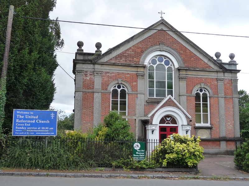
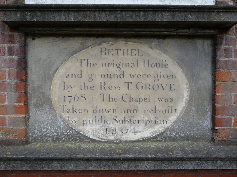
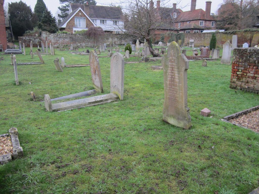
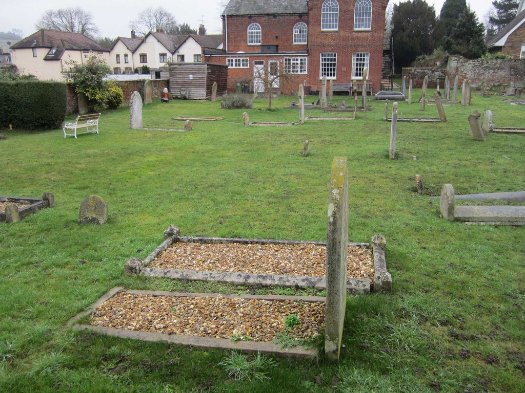
| Description | : | The Church at Cores End was founded in 1768. Disenchantment with the Established Church has a long history in South Buckinghamshire. A group of local parishioners formed a 'Conference Society' and met in each other's homes for Bible study and prayer. Grace Grove and her family who lived at Cores End Farm and owned about 170 acres of land, were active members of this group. Thomas Grove, her grandson, who had been orphaned and brought up by Grace, decided when still a young man to become a preacher. In 1767 he began his studies for ordination into the Church of England... Read More |
frequently asked questions (FAQ):
-
Where is United Reformed Church Cemetery?
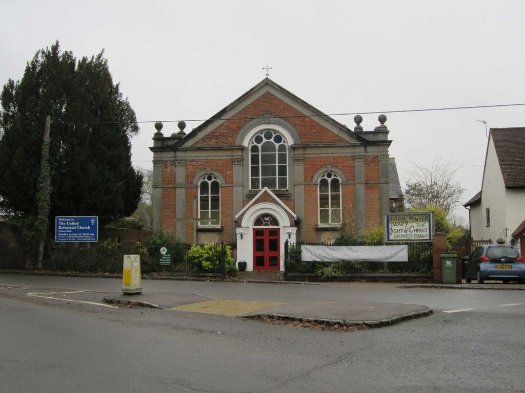
United Reformed Church Cemetery is located at Hawks Hill, Cores End Bourne End, Wycombe District ,Buckinghamshire , SL8 5HZEngland.
-
United Reformed Church Cemetery cemetery's updated grave count on graveviews.com?
0 memorials
-
Where are the coordinates of the United Reformed Church Cemetery?
Latitude: 51.5769930
Longitude: -0.6972670
Nearby Cemetories:
1. Bethel Chapel Cores End-Independent
Wooburn, Wycombe District, England
Coordinate: 51.5770400, -0.6971420
2. Wooburn & Bourne End Cemetery
Wooburn, Wycombe District, England
Coordinate: 51.5795260, -0.6919400
3. St. Paul's Churchyard
Wooburn, Wycombe District, England
Coordinate: 51.5816640, -0.6886330
4. St Nicholas Churchyard
Hedsor, Wycombe District, England
Coordinate: 51.5675780, -0.6924980
5. Holy Trinity Churchyard
Cookham, Windsor and Maidenhead Royal Borough, England
Coordinate: 51.5613910, -0.7074150
6. Cliveden House Pet Cemetery
Taplow, South Bucks District, England
Coordinate: 51.5590770, -0.6880610
7. Cliveden War Memorial Cemetery
Taplow, South Bucks District, England
Coordinate: 51.5578380, -0.6900160
8. Cliveden Chapel
Taplow, South Bucks District, England
Coordinate: 51.5571020, -0.6899240
9. Fern Lane Cemetery
Little Marlow, Wycombe District, England
Coordinate: 51.5887390, -0.7273880
10. St. John the Baptist Churchyard
Little Marlow, Wycombe District, England
Coordinate: 51.5826450, -0.7398600
11. Holtspur Cemetery
Beaconsfield, South Bucks District, England
Coordinate: 51.5964280, -0.6663890
12. St Anne Churchyard
Dropmore, South Bucks District, England
Coordinate: 51.5693020, -0.6530820
13. Nashdom Abbey Cemetery
Burnham, South Bucks District, England
Coordinate: 51.5490600, -0.6739000
14. Atlona Road Cemetery
Loudwater, Wycombe District, England
Coordinate: 51.6101490, -0.6932680
15. Altona Road Cemetery
Chepping Wycombe, Wycombe District, England
Coordinate: 51.6102200, -0.6938200
16. Cookham Parish Cemetery
Cookham, Windsor and Maidenhead Royal Borough, England
Coordinate: 51.5485170, -0.7270770
17. St John the Baptist Churchyard
Cookham Dean, Windsor and Maidenhead Royal Borough, England
Coordinate: 51.5581960, -0.7447210
18. St Mary and All Saints Churchyard
Beaconsfield, South Bucks District, England
Coordinate: 51.6009660, -0.6370800
19. St. Mary's Churchyard
Hitcham, South Bucks District, England
Coordinate: 51.5346430, -0.6750330
20. Bethesda Chapel Burial Ground
Beaconsfield, South Bucks District, England
Coordinate: 51.6028180, -0.6375190
21. The Old Churchyard
Taplow, South Bucks District, England
Coordinate: 51.5312190, -0.6950540
22. St. Nicolas' Churchyard
Taplow, South Bucks District, England
Coordinate: 51.5313140, -0.6867530
23. St. Peter Roman Catholic Churchyard
Marlow, Wycombe District, England
Coordinate: 51.5695438, -0.7723466
24. Zion Chapel Burial Ground
Burnham, South Bucks District, England
Coordinate: 51.5358700, -0.6594930