| Memorials | : | 0 |
| Location | : | Benthall, Shropshire Unitary Authority, England |
| Coordinate | : | 52.6198230, -2.5068570 |
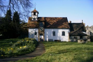
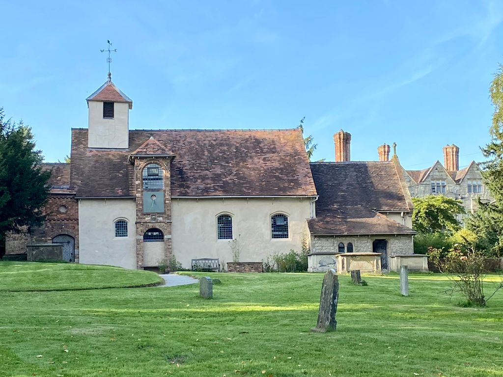
| Description | : | The church is somewhat overshadowed by Benthall Hall (National Trust). It appears that what was an earlier church (dedicated to St Brice, the only other being at Brize Norton, Oxon) was substantially lost during the defence of the hall in 1645, one of the skirmishes in the Civil War. It was not until 1667 that the church was rebuilt although in a local style. At that time the dedication was given as St Bartholomew. Internally the church contains a great west gallery, used over the years for the musicians and singers. The Victorians enlarged the building in their own unique way.... Read More |
frequently asked questions (FAQ):
-
Where is St. Bartholomew Churchyard?
St. Bartholomew Churchyard is located at Benthall, Shropshire Unitary Authority ,Shropshire , TF12 5RXEngland.
-
St. Bartholomew Churchyard cemetery's updated grave count on graveviews.com?
0 memorials
-
Where are the coordinates of the St. Bartholomew Churchyard?
Latitude: 52.6198230
Longitude: -2.5068570
Nearby Cemetories:
1. Broseley Baptist Church
Broseley, Shropshire Unitary Authority, England
Coordinate: 52.6135650, -2.4871190
2. St. Luke's Churchyard
Ironbridge, Telford and Wrekin Unitary Authority, England
Coordinate: 52.6285830, -2.4851180
3. The Red Church
Broseley, Shropshire Unitary Authority, England
Coordinate: 52.6205367, -2.4753955
4. Castle Green Cemetery
Ironbridge, Telford and Wrekin Unitary Authority, England
Coordinate: 52.6346434, -2.4851070
5. Holy Trinity Churchyard
Coalbrookdale, Telford and Wrekin Unitary Authority, England
Coordinate: 52.6375300, -2.4894000
6. All Saints Churchyard
Broseley, Shropshire Unitary Authority, England
Coordinate: 52.6105890, -2.4757160
7. St. Giles Church Cemetery
Barrow, Shropshire Unitary Authority, England
Coordinate: 52.5969300, -2.5065700
8. Coalbrookdale Quaker Burial Ground
Coalbrookdale, Telford and Wrekin Unitary Authority, England
Coordinate: 52.6417080, -2.4952200
9. Holy Trinity Churchyard
Buildwas, Shropshire Unitary Authority, England
Coordinate: 52.6393710, -2.5380180
10. St. Michael's Churchyard
Madeley, Telford and Wrekin Unitary Authority, England
Coordinate: 52.6337300, -2.4503010
11. St. Lawrence's Churchyard
Little Wenlock, Telford and Wrekin Unitary Authority, England
Coordinate: 52.6582070, -2.5234340
12. St. Luke's Churchyard
Doseley, Telford and Wrekin Unitary Authority, England
Coordinate: 52.6560410, -2.4775480
13. Holy Trinity Churchyard
Dawley, Telford and Wrekin Unitary Authority, England
Coordinate: 52.6551528, -2.4637860
14. St James Churchyard
Stirchley, Telford and Wrekin Unitary Authority, England
Coordinate: 52.6575707, -2.4451542
15. St Johns Church
Lawley, Telford and Wrekin Unitary Authority, England
Coordinate: 52.6751550, -2.4932670
16. St. Mary's Churchyard
Harley, Shropshire Unitary Authority, England
Coordinate: 52.6094750, -2.5976600
17. St. Leonard's Churchyard
Dawley, Telford and Wrekin Unitary Authority, England
Coordinate: 52.6695331, -2.4609601
18. Dawley Baptist Chapel Cemetery
Dawley, Telford and Wrekin Unitary Authority, England
Coordinate: 52.6745400, -2.4689600
19. Christ Church Churchyard
Cressage, Shropshire Unitary Authority, England
Coordinate: 52.6322770, -2.6040810
20. St. Mary's Churchyard
Acton Round, Shropshire Unitary Authority, England
Coordinate: 52.5573080, -2.5406470
21. St. Calixtus Churchyard
Astley Abbotts, Shropshire Unitary Authority, England
Coordinate: 52.5631160, -2.4312720
22. St. Mary the Virgin Churchyard
Ketley, Telford and Wrekin Unitary Authority, England
Coordinate: 52.6914797, -2.4701998
23. Red Lake Garden of rest
Telford, Telford and Wrekin Unitary Authority, England
Coordinate: 52.6928969, -2.4715920
24. Wellington Cemetery
Wellington, Telford and Wrekin Unitary Authority, England
Coordinate: 52.6958280, -2.5246020


