
| Memorials | : | 4 |
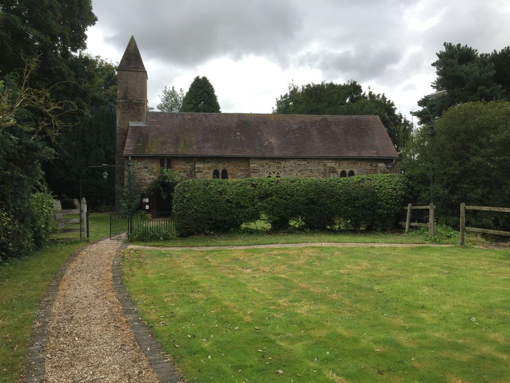
| Location | : | Stanton-on-the-Wolds, Rushcliffe Borough, England |
| Coordinate | : | 52.8693400, -1.0624900 |
frequently asked questions (FAQ):
-
Where is All Saints Churchyard?
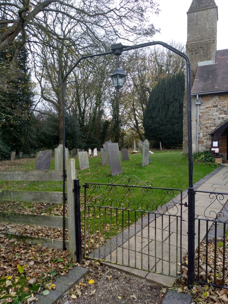
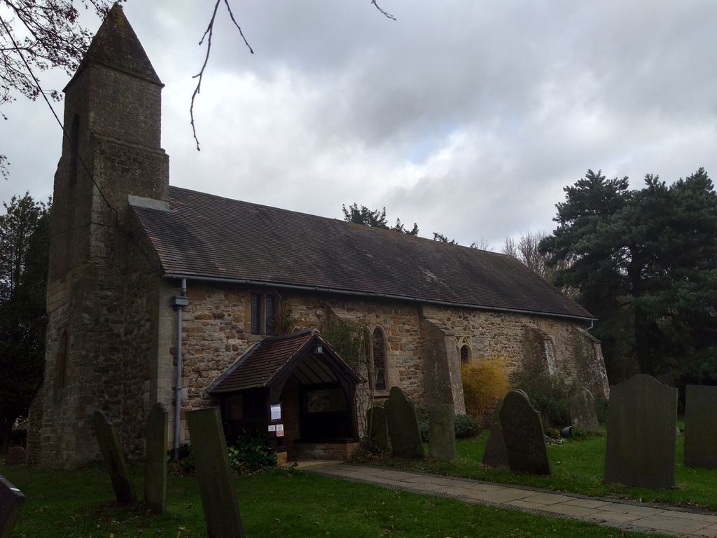
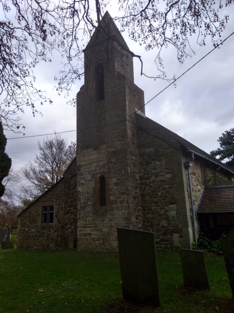
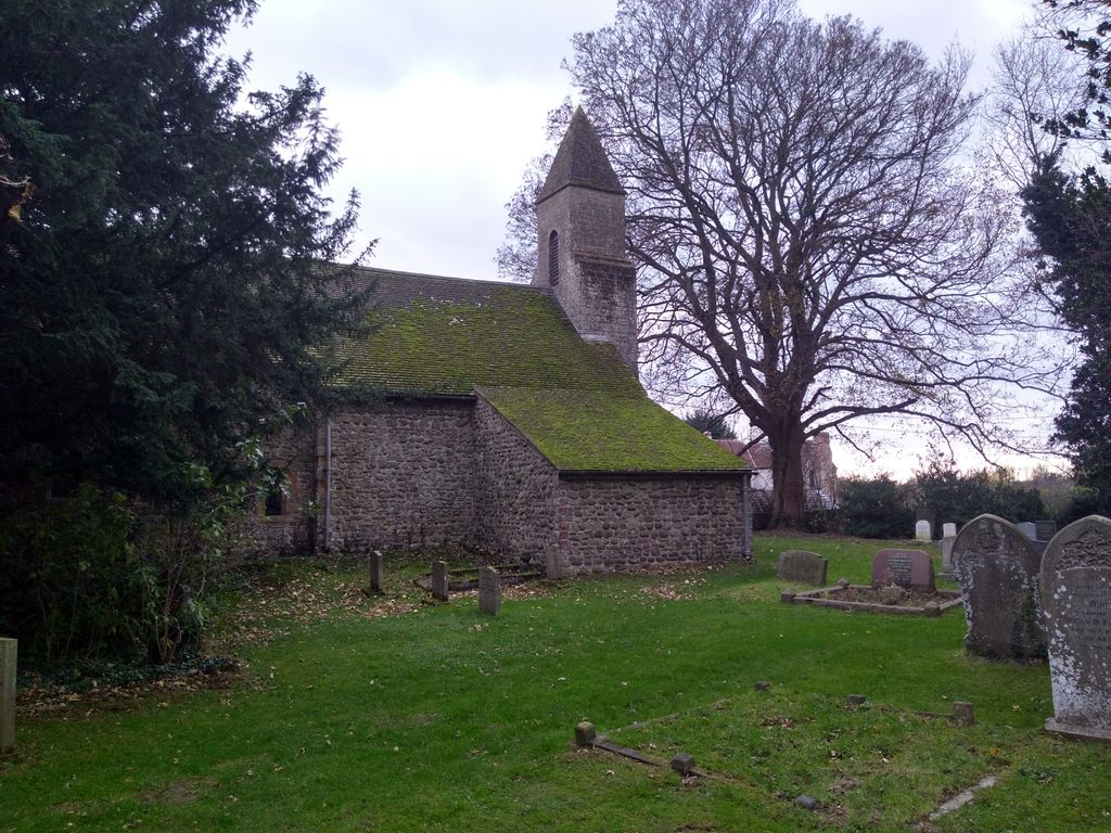
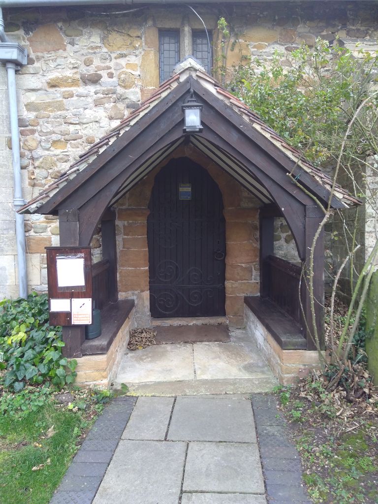
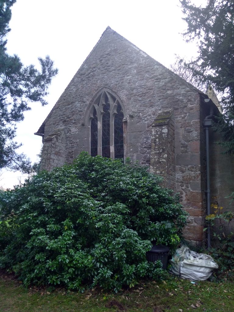
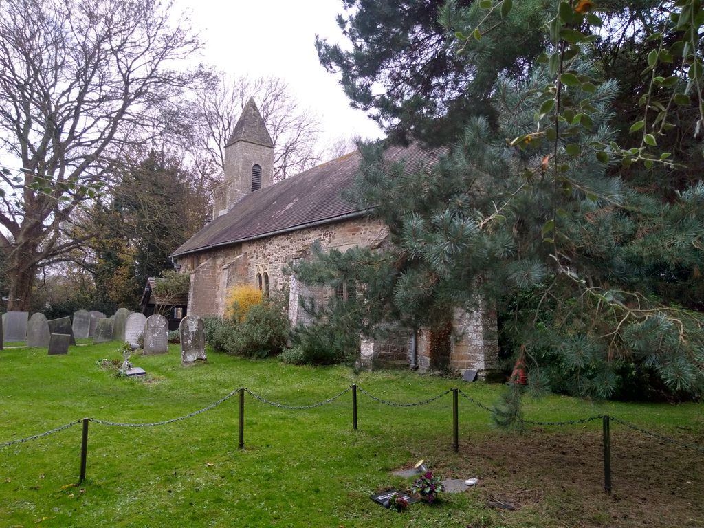
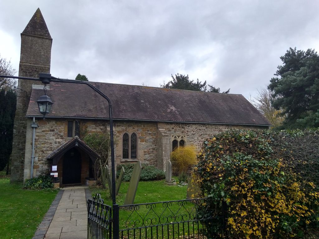
All Saints Churchyard is located at Stanton-on-the-Wolds, Rushcliffe Borough ,Nottinghamshire ,England.
-
All Saints Churchyard cemetery's updated grave count on graveviews.com?
4 memorials
-
Where are the coordinates of the All Saints Churchyard?
Latitude: 52.8693400
Longitude: -1.0624900

Nearby Cemetories:
1. St Peter Churchyard
Widmerpool, Rushcliffe Borough, England
Coordinate: 52.8476890, -1.0679480
2. St. Mary The Virgin Churchyard
Plumtree, Rushcliffe Borough, England
Coordinate: 52.8918690, -1.0874320
3. St Luke's Churchyard
Kinoulton, Rushcliffe Borough, England
Coordinate: 52.8697400, -0.9964300
4. Holy Trinity Churchyard
Wysall, Rushcliffe Borough, England
Coordinate: 52.8383300, -1.1044200
5. Flawford St Peter
Ruddington, Rushcliffe Borough, England
Coordinate: 52.8934800, -1.1201300
6. All Saints Churchyard
Cotgrave, Rushcliffe Borough, England
Coordinate: 52.9116900, -1.0436100
7. St Mary the Virgin Churchyard
Bunny, Rushcliffe Borough, England
Coordinate: 52.8606758, -1.1354220
8. Church of St Mary and All Saints
Willoughby-on-the-Wolds, Rushcliffe Borough, England
Coordinate: 52.8227780, -1.0608330
9. Edwalton Holy Rood Churchyard
West Bridgford, Rushcliffe Borough, England
Coordinate: 52.9093000, -1.1114170
10. St. Luke's Churchyard
Hickling, Rushcliffe Borough, England
Coordinate: 52.8564100, -0.9742800
11. St. Luke's Churchyard, Hickling
Melton Mowbray, Melton Borough, England
Coordinate: 52.8563758, -0.9738774
12. St. Peter's Churchyard
Ruddington, Rushcliffe Borough, England
Coordinate: 52.8925940, -1.1506460
13. Ruddington Old Cemetery
Ruddington, Rushcliffe Borough, England
Coordinate: 52.8914500, -1.1531400
14. St Peter New Churchyard
Ruddington, Rushcliffe Borough, England
Coordinate: 52.8914800, -1.1549600
15. St Luke's Churchyard
Upper Broughton, Rushcliffe Borough, England
Coordinate: 52.8293700, -0.9870900
16. Jewish Cemetery
Nottingham, Nottingham Unitary Authority, England
Coordinate: 52.9123890, -1.1372670
17. Southern Cemetery and Crematorium
West Bridgford, Rushcliffe Borough, England
Coordinate: 52.9113900, -1.1408500
18. St Giles Churchyard
Costock, Rushcliffe Borough, England
Coordinate: 52.8326300, -1.1489100
19. St Giles Churchyard
Cropwell Bishop, Rushcliffe Borough, England
Coordinate: 52.9127600, -0.9831300
20. St. Marys Churchyard
Wymeswold, Charnwood Borough, England
Coordinate: 52.8055010, -1.1067320
21. Wymeswold Rempstone Road Cemetery
Wymeswold, Charnwood Borough, England
Coordinate: 52.8084600, -1.1180480
22. St Mary the Virgin Churchyard
Nether Broughton, Melton Borough, England
Coordinate: 52.8289780, -0.9687040
23. Rempstone Anabaptist Burial Ground
Rempstone, Rushcliffe Borough, England
Coordinate: 52.8179800, -1.1426400
24. Old Dalby Main Road Cemetery
Old Dalby, Melton Borough, England
Coordinate: 52.8084650, -1.0007670