
| Memorials | : | 0 |
| Location | : | Ruddington, Rushcliffe Borough, England |
| Coordinate | : | 52.8925940, -1.1506460 |
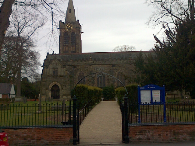
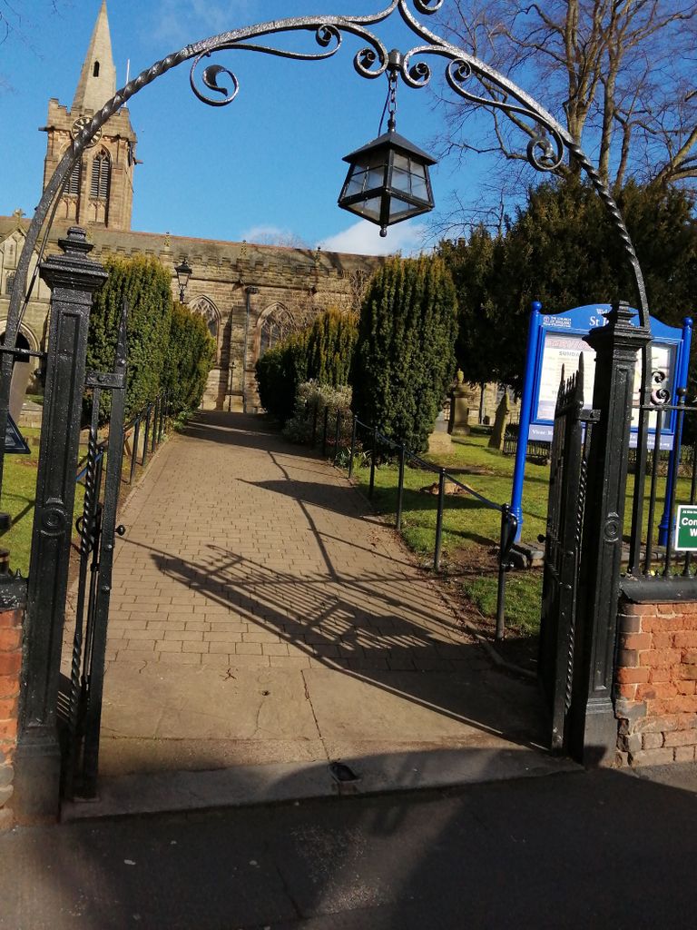
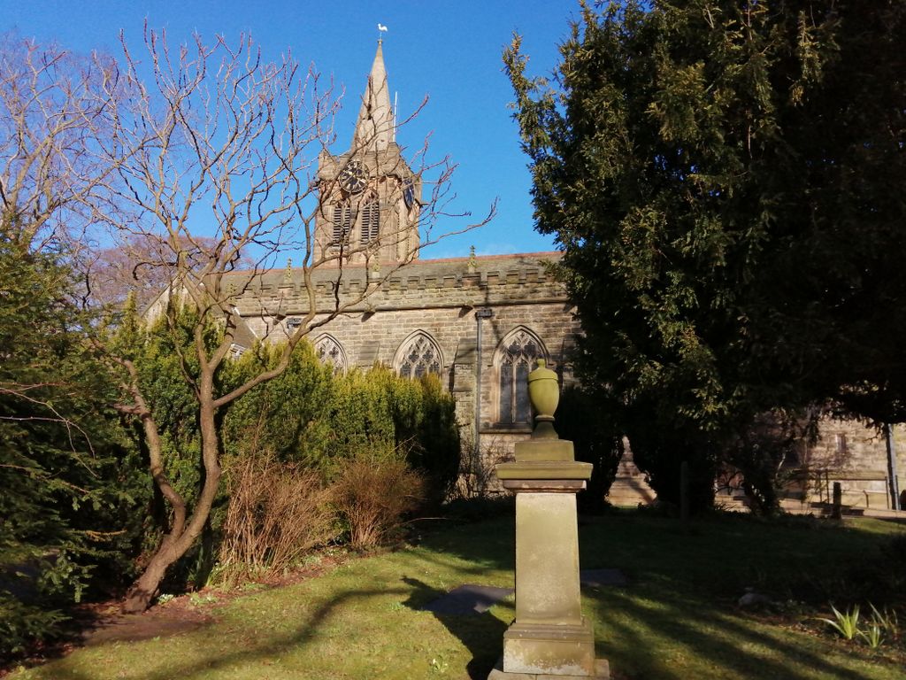
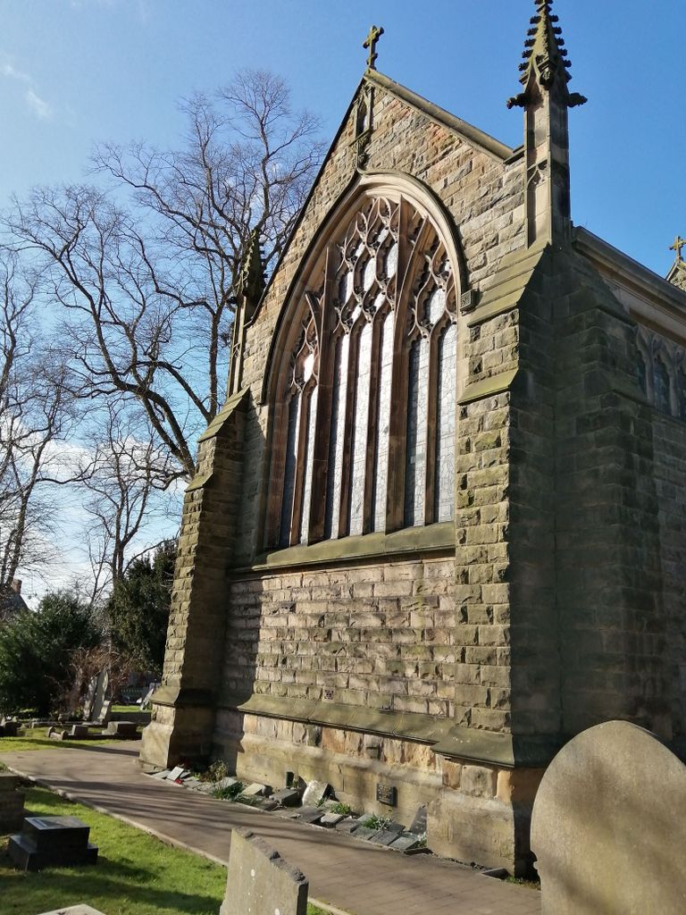
| Description | : | St. Peter's Churchyard – Located around St. Peter's Church on Church Street. This is a closed churchyard and is under the control of the Parish Council, making it responsible for the trees, railings and the safety of the memorials. |
frequently asked questions (FAQ):
-
Where is St. Peter's Churchyard?
St. Peter's Churchyard is located at Church Street Ruddington, Rushcliffe Borough ,Nottinghamshire , NG11 6HAEngland.
-
St. Peter's Churchyard cemetery's updated grave count on graveviews.com?
0 memorials
-
Where are the coordinates of the St. Peter's Churchyard?
Latitude: 52.8925940
Longitude: -1.1506460


Nearby Cemetories:
1. Ruddington Old Cemetery
Ruddington, Rushcliffe Borough, England
Coordinate: 52.8914500, -1.1531400
2. St Peter New Churchyard
Ruddington, Rushcliffe Borough, England
Coordinate: 52.8914800, -1.1549600
3. Flawford St Peter
Ruddington, Rushcliffe Borough, England
Coordinate: 52.8934800, -1.1201300
4. Southern Cemetery and Crematorium
West Bridgford, Rushcliffe Borough, England
Coordinate: 52.9113900, -1.1408500
5. Jewish Cemetery
Nottingham, Nottingham Unitary Authority, England
Coordinate: 52.9123890, -1.1372670
6. Edwalton Holy Rood Churchyard
West Bridgford, Rushcliffe Borough, England
Coordinate: 52.9093000, -1.1114170
7. St Mary's Churchyard
Clifton, Nottingham Unitary Authority, England
Coordinate: 52.9083870, -1.1965435
8. St Mary the Virgin Churchyard
Bunny, Rushcliffe Borough, England
Coordinate: 52.8606758, -1.1354220
9. St. Mary The Virgin Churchyard
Plumtree, Rushcliffe Borough, England
Coordinate: 52.8918690, -1.0874320
10. St. Giles's Church & Churchyard
West Bridgford, Rushcliffe Borough, England
Coordinate: 52.9316460, -1.1288450
11. Wilford Village Cemetery
Wilford, Nottingham Unitary Authority, England
Coordinate: 52.9338540, -1.1591170
12. St. Wilfrid Churchyard
Wilford, Nottingham Unitary Authority, England
Coordinate: 52.9346290, -1.1587770
13. Beeston Baptist Chapel
Beeston, Broxtowe Borough, England
Coordinate: 52.9246600, -1.2122000
14. St Mary's Church Attenborough
Beeston, Broxtowe Borough, England
Coordinate: 52.9039568, -1.2302235
15. St. John the Baptist Churchyard
Beeston, Broxtowe Borough, England
Coordinate: 52.9255562, -1.2167680
16. St Nicholas Churchyard
Nottingham, Nottingham Unitary Authority, England
Coordinate: 52.9504780, -1.1509220
17. Holy Trinity Churchyard
Lenton, Nottingham Unitary Authority, England
Coordinate: 52.9485630, -1.1753148
18. All Saints Churchyard
Stanton-on-the-Wolds, Rushcliffe Borough, England
Coordinate: 52.8693400, -1.0624900
19. National Justice Museum High Pavement Nottingham
Nottingham Unitary Authority, England
Coordinate: 52.9510680, -1.1443050
20. All Saints Churchyard
Thrumpton, Rushcliffe Borough, England
Coordinate: 52.8755100, -1.2440800
21. St Peters Church Yard
Nottingham, Nottingham Unitary Authority, England
Coordinate: 52.9522800, -1.1486940
22. St Giles Churchyard
Costock, Rushcliffe Borough, England
Coordinate: 52.8326300, -1.1489100
23. St Mary's Burial Grounds
Nottingham, Nottingham Unitary Authority, England
Coordinate: 52.9527860, -1.1419160
24. National Ice Centre
Nottingham, Nottingham Unitary Authority, England
Coordinate: 52.9527790, -1.1394460