
| Memorials | : | 1 |
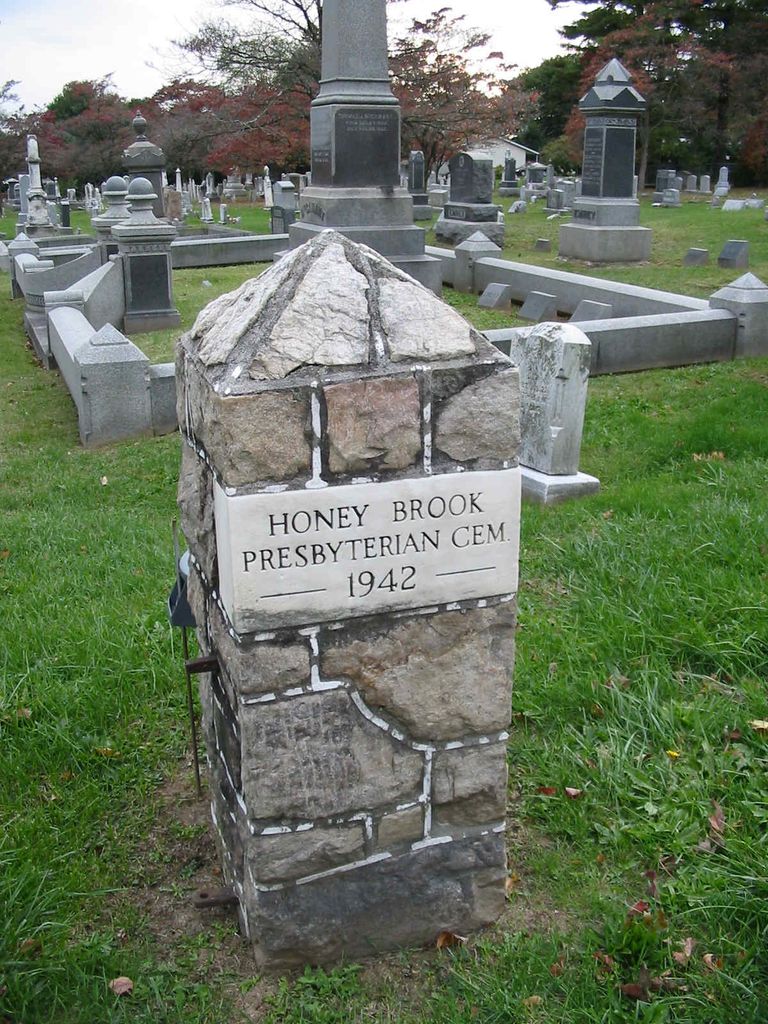
| Location | : | Honey Brook Borough, Chester County, USA |
| Coordinate | : | 40.0927010, -75.9089966 |
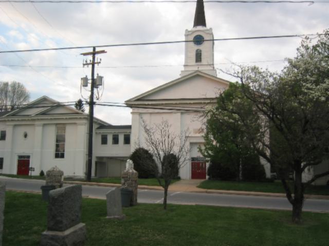
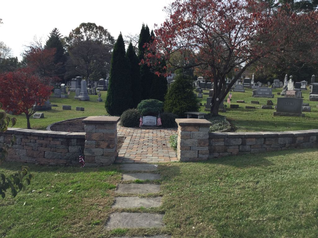
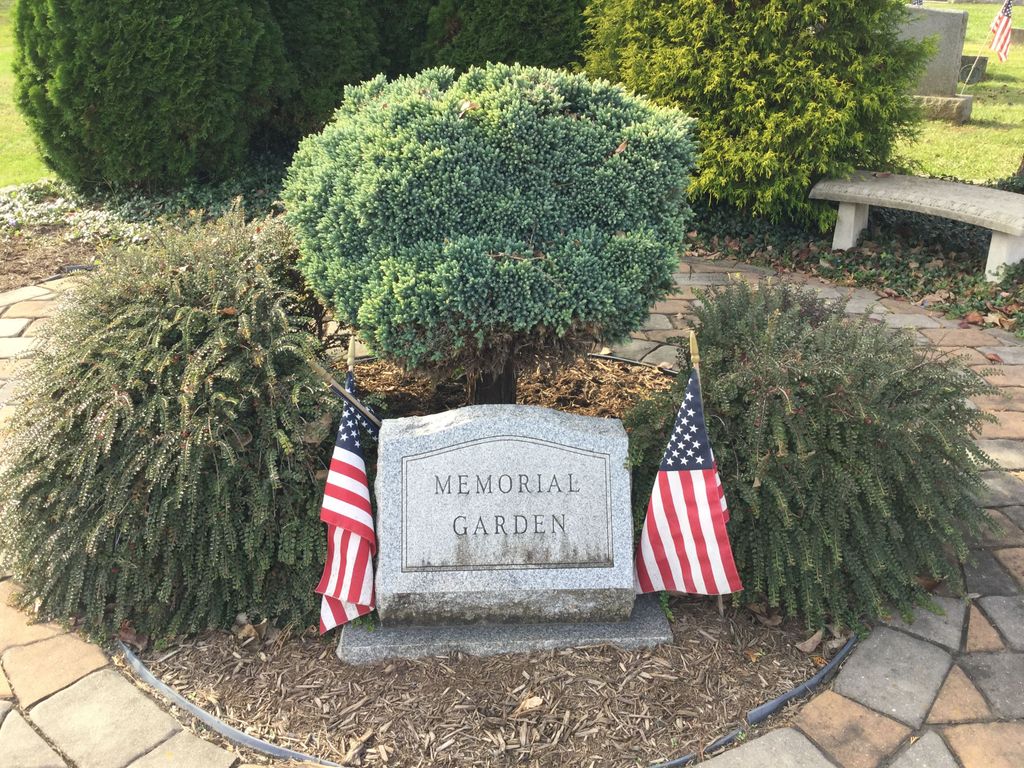
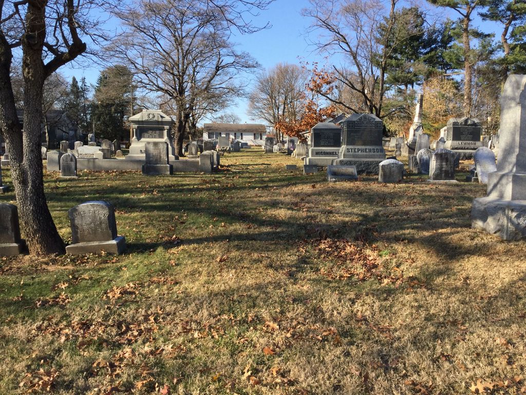
| Description | : | Honey Brook Presbyterian Church recently established a memorial garden located at the entrance of the Presbyterian Cemetery that dates back to the early 1800's. According to the history of Honey Brook Presbyterian Church (1835 – 1985), written by the late Margaret R. Eppihimer, burial grounds were formerly called graveyards, and it was in the later years that they became known as cemeteries. Many families in Honey Brook have buried their relatives in a walled area of their farms. Cemetery records indicate that in the early 1800's, the Emery family established a large area in the northwestern part of the cemetery designated... Read More |
frequently asked questions (FAQ):
-
Where is Honey Brook Presbyterian Cemetery?
Honey Brook Presbyterian Cemetery is located at Honey Brook Borough, Chester County ,Pennsylvania ,USA.
-
Honey Brook Presbyterian Cemetery cemetery's updated grave count on graveviews.com?
1 memorials
-
Where are the coordinates of the Honey Brook Presbyterian Cemetery?
Latitude: 40.0927010
Longitude: -75.9089966
Nearby Cemetories:
1. Honey Brook United Methodist Church Cemetery
Honey Brook Township, Chester County, USA
Coordinate: 40.0956001, -75.9076004
2. Stoltzfus Old Order Amish Cemetery
Honey Brook Township, Chester County, USA
Coordinate: 40.1013700, -75.8957000
3. Zug-Zook Family Cemetery
Honey Brook Township, Chester County, USA
Coordinate: 40.1087200, -75.9207400
4. Cambridge Friends Burial Ground
Cambridge, Chester County, USA
Coordinate: 40.0821700, -75.9351500
5. Cambridge Amish Cemetery
Cambridge, Chester County, USA
Coordinate: 40.0817740, -75.9351240
6. Cambridge Union Cemetery
Cambridge, Chester County, USA
Coordinate: 40.0816100, -75.9355900
7. Cambridge Methodist Burial Ground
Cambridge, Chester County, USA
Coordinate: 40.0814918, -75.9360128
8. Honey Brook Mennonite Cemetery
Honey Brook Township, Chester County, USA
Coordinate: 40.1110000, -75.9307000
9. Living God Lutheran Church Columbarium
Honey Brook Township, Chester County, USA
Coordinate: 40.0790000, -75.8690000
10. Zion African Union Cemetery
West Caln Township, Chester County, USA
Coordinate: 40.0490479, -75.9218970
11. Churchtown Old Order Mennonite Cemetery
Churchtown, Lancaster County, USA
Coordinate: 40.1364720, -75.9531210
12. Caernarvon Church Cemetery
Churchtown, Lancaster County, USA
Coordinate: 40.1339000, -75.9577000
13. Churchtown United Methodist Church Cemetery
Churchtown, Lancaster County, USA
Coordinate: 40.1352400, -75.9564230
14. Gault Graveyard
Gap, Lancaster County, USA
Coordinate: 40.0698060, -75.9767970
15. Bangor Episcopal Cemetery
Churchtown, Lancaster County, USA
Coordinate: 40.1338081, -75.9614944
16. Conestoga Mennonite Church Cemetery
Lancaster County, USA
Coordinate: 40.1509480, -75.9068480
17. Morgantown United Methodist Church Cemetery
Berks County, USA
Coordinate: 40.1542000, -75.8927000
18. Meadville Mennonite Cemetery
Gap, Lancaster County, USA
Coordinate: 40.0717020, -75.9875280
19. Caernarvon Cemetery
Morgantown, Berks County, USA
Coordinate: 40.1568985, -75.8914032
20. Saint Thomas Episcopal Church Cemetery
Morgantown, Berks County, USA
Coordinate: 40.1575000, -75.8902000
21. Sandy Hill African Methodist Episcopal Cemetery
West Caln Township, Chester County, USA
Coordinate: 40.0185200, -75.9133000
22. Saint John's Episcopal Church Cemetery
Compass, Chester County, USA
Coordinate: 40.0229111, -75.9439392
23. Pequea Presbyterian Cemetery
Gap, Lancaster County, USA
Coordinate: 40.0523380, -75.9916900
24. Pequea Baptist Cemetery
Gap, Lancaster County, USA
Coordinate: 40.0271000, -75.9567000