
| Memorials | : | 0 |
| Location | : | Cambridge, Chester County, USA |
| Coordinate | : | 40.0817740, -75.9351240 |
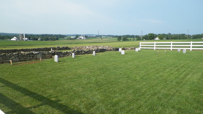
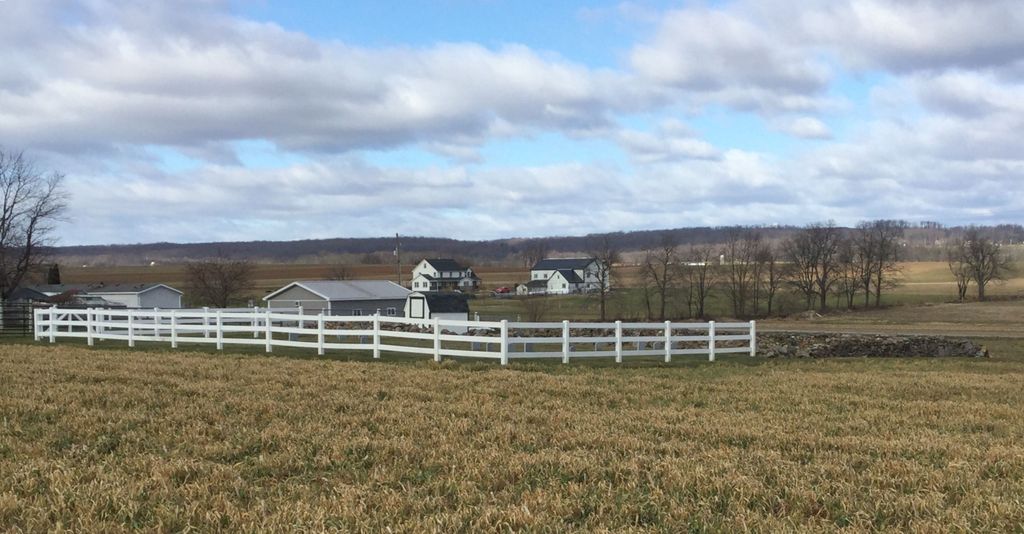
| Description | : | CAMBRIDGE AMISH CEMETERY There are two cemeteries side by side. The one in the walled area is the Cambridge Meeting Cemetery. The one in the fence is the Amish Cemetery. |
frequently asked questions (FAQ):
-
Where is Cambridge Amish Cemetery?
Cambridge Amish Cemetery is located at 81 North Street Cambridge, Chester County ,Pennsylvania , 19344USA.
-
Cambridge Amish Cemetery cemetery's updated grave count on graveviews.com?
0 memorials
-
Where are the coordinates of the Cambridge Amish Cemetery?
Latitude: 40.0817740
Longitude: -75.9351240
Nearby Cemetories:
1. Cambridge Union Cemetery
Cambridge, Chester County, USA
Coordinate: 40.0816100, -75.9355900
2. Cambridge Friends Burial Ground
Cambridge, Chester County, USA
Coordinate: 40.0821700, -75.9351500
3. Cambridge Methodist Burial Ground
Cambridge, Chester County, USA
Coordinate: 40.0814918, -75.9360128
4. Honey Brook Presbyterian Cemetery
Honey Brook Borough, Chester County, USA
Coordinate: 40.0927010, -75.9089966
5. Honey Brook United Methodist Church Cemetery
Honey Brook Township, Chester County, USA
Coordinate: 40.0956001, -75.9076004
6. Zug-Zook Family Cemetery
Honey Brook Township, Chester County, USA
Coordinate: 40.1087200, -75.9207400
7. Honey Brook Mennonite Cemetery
Honey Brook Township, Chester County, USA
Coordinate: 40.1110000, -75.9307000
8. Gault Graveyard
Gap, Lancaster County, USA
Coordinate: 40.0698060, -75.9767970
9. Zion African Union Cemetery
West Caln Township, Chester County, USA
Coordinate: 40.0490479, -75.9218970
10. Stoltzfus Old Order Amish Cemetery
Honey Brook Township, Chester County, USA
Coordinate: 40.1013700, -75.8957000
11. Meadville Mennonite Cemetery
Gap, Lancaster County, USA
Coordinate: 40.0717020, -75.9875280
12. Living God Lutheran Church Columbarium
Honey Brook Township, Chester County, USA
Coordinate: 40.0790000, -75.8690000
13. Pequea Presbyterian Cemetery
Gap, Lancaster County, USA
Coordinate: 40.0523380, -75.9916900
14. Caernarvon Church Cemetery
Churchtown, Lancaster County, USA
Coordinate: 40.1339000, -75.9577000
15. Bangor Episcopal Cemetery
Churchtown, Lancaster County, USA
Coordinate: 40.1338081, -75.9614944
16. Churchtown United Methodist Church Cemetery
Churchtown, Lancaster County, USA
Coordinate: 40.1352400, -75.9564230
17. Churchtown Old Order Mennonite Cemetery
Churchtown, Lancaster County, USA
Coordinate: 40.1364720, -75.9531210
18. Pequea Baptist Cemetery
Gap, Lancaster County, USA
Coordinate: 40.0271000, -75.9567000
19. Mount Hope Christian Chapel Cemetery
Gap, Lancaster County, USA
Coordinate: 40.0760790, -76.0113160
20. Saint John's Episcopal Church Cemetery
Compass, Chester County, USA
Coordinate: 40.0229111, -75.9439392
21. Old Road Mennonite Cemetery
Gap, Lancaster County, USA
Coordinate: 40.0332489, -75.9807281
22. John Philip Ranck Cemetery
Fetterville, Lancaster County, USA
Coordinate: 40.1066000, -76.0137000
23. Sandy Hill African Methodist Episcopal Cemetery
West Caln Township, Chester County, USA
Coordinate: 40.0185200, -75.9133000
24. Buena Vista Amish Cemetery
Gap, Lancaster County, USA
Coordinate: 40.0220000, -75.9795000