
| Memorials | : | 0 |
| Location | : | Cambridge, Chester County, USA |
| Coordinate | : | 40.0816100, -75.9355900 |
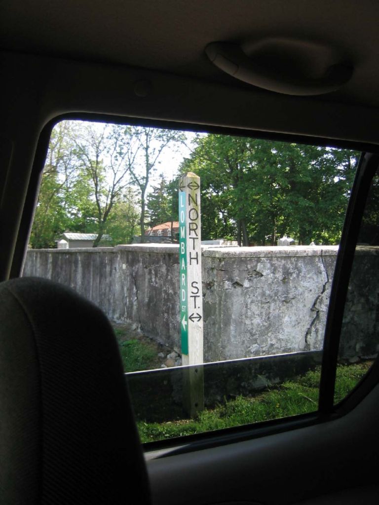
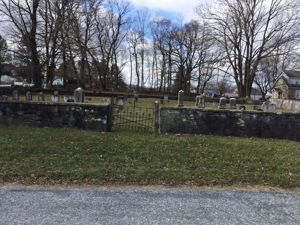
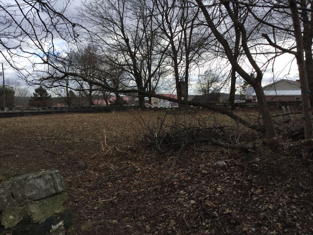
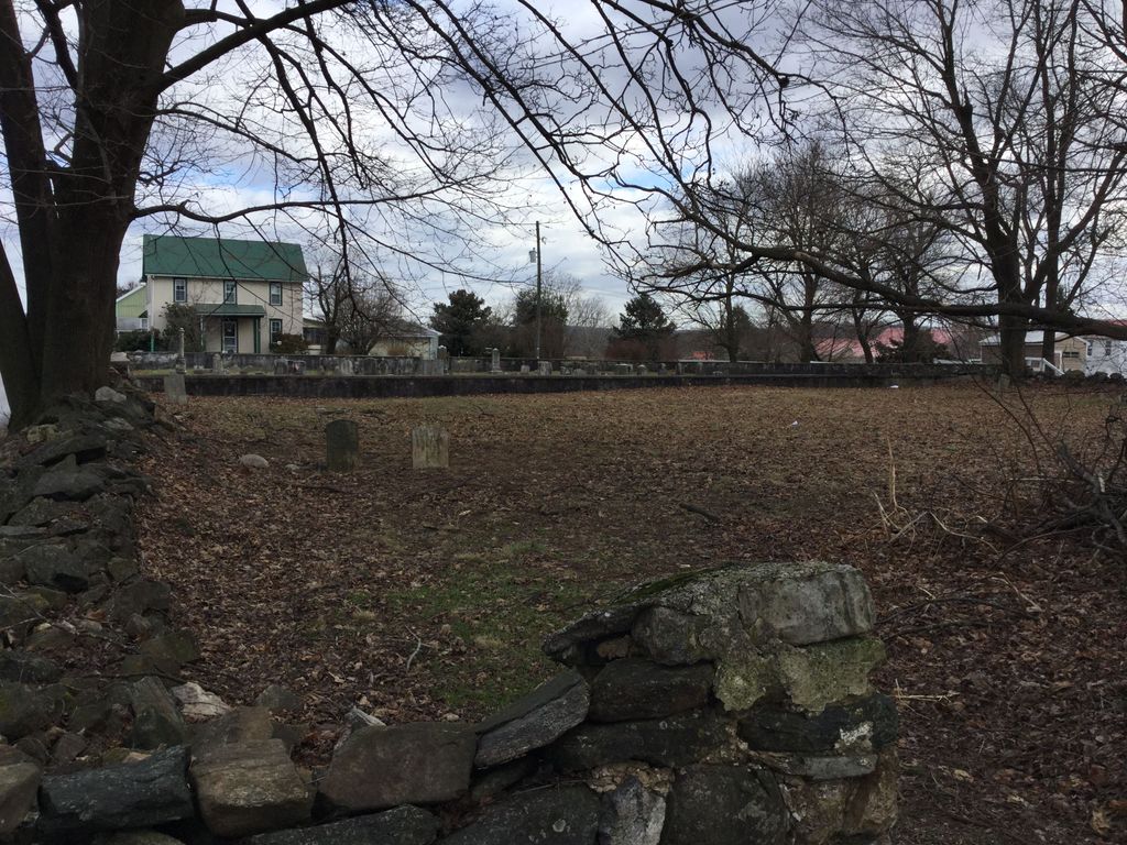
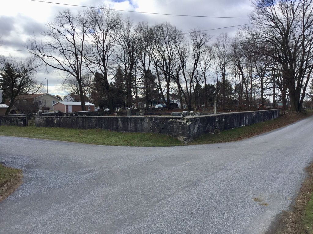
| Description | : | The Union Cemetery was incorporated as the Cambridge Schoolhouse & Burial Ground in 1828 at the corner of North and Lombard Streets in the village Cambridge. The schoolhouse, located to the southeast side, was sold to the Honey Brook School District in 1837. A small Methodist cemetery was established on a plot adjacent to the Union Burial Ground on North Street, on the western side. Some time after 1873, the Methodist congregation disbanded and ownership and management of both burial grounds was transferred to the Union Cemetery. Note that the Cambridge Friends Burial Ground is located across North... Read More |
frequently asked questions (FAQ):
-
Where is Cambridge Union Cemetery?
Cambridge Union Cemetery is located at 84 North Street Cambridge, Chester County ,Pennsylvania , 19344USA.
-
Cambridge Union Cemetery cemetery's updated grave count on graveviews.com?
0 memorials
-
Where are the coordinates of the Cambridge Union Cemetery?
Latitude: 40.0816100
Longitude: -75.9355900
Nearby Cemetories:
1. Cambridge Methodist Burial Ground
Cambridge, Chester County, USA
Coordinate: 40.0814918, -75.9360128
2. Cambridge Amish Cemetery
Cambridge, Chester County, USA
Coordinate: 40.0817740, -75.9351240
3. Cambridge Friends Burial Ground
Cambridge, Chester County, USA
Coordinate: 40.0821700, -75.9351500
4. Honey Brook Presbyterian Cemetery
Honey Brook Borough, Chester County, USA
Coordinate: 40.0927010, -75.9089966
5. Honey Brook United Methodist Church Cemetery
Honey Brook Township, Chester County, USA
Coordinate: 40.0956001, -75.9076004
6. Zug-Zook Family Cemetery
Honey Brook Township, Chester County, USA
Coordinate: 40.1087200, -75.9207400
7. Honey Brook Mennonite Cemetery
Honey Brook Township, Chester County, USA
Coordinate: 40.1110000, -75.9307000
8. Gault Graveyard
Gap, Lancaster County, USA
Coordinate: 40.0698060, -75.9767970
9. Zion African Union Cemetery
West Caln Township, Chester County, USA
Coordinate: 40.0490479, -75.9218970
10. Stoltzfus Old Order Amish Cemetery
Honey Brook Township, Chester County, USA
Coordinate: 40.1013700, -75.8957000
11. Meadville Mennonite Cemetery
Gap, Lancaster County, USA
Coordinate: 40.0717020, -75.9875280
12. Living God Lutheran Church Columbarium
Honey Brook Township, Chester County, USA
Coordinate: 40.0790000, -75.8690000
13. Pequea Presbyterian Cemetery
Gap, Lancaster County, USA
Coordinate: 40.0523380, -75.9916900
14. Caernarvon Church Cemetery
Churchtown, Lancaster County, USA
Coordinate: 40.1339000, -75.9577000
15. Bangor Episcopal Cemetery
Churchtown, Lancaster County, USA
Coordinate: 40.1338081, -75.9614944
16. Churchtown United Methodist Church Cemetery
Churchtown, Lancaster County, USA
Coordinate: 40.1352400, -75.9564230
17. Churchtown Old Order Mennonite Cemetery
Churchtown, Lancaster County, USA
Coordinate: 40.1364720, -75.9531210
18. Pequea Baptist Cemetery
Gap, Lancaster County, USA
Coordinate: 40.0271000, -75.9567000
19. Mount Hope Christian Chapel Cemetery
Gap, Lancaster County, USA
Coordinate: 40.0760790, -76.0113160
20. Saint John's Episcopal Church Cemetery
Compass, Chester County, USA
Coordinate: 40.0229111, -75.9439392
21. Old Road Mennonite Cemetery
Gap, Lancaster County, USA
Coordinate: 40.0332489, -75.9807281
22. John Philip Ranck Cemetery
Fetterville, Lancaster County, USA
Coordinate: 40.1066000, -76.0137000
23. Sandy Hill African Methodist Episcopal Cemetery
West Caln Township, Chester County, USA
Coordinate: 40.0185200, -75.9133000
24. Buena Vista Amish Cemetery
Gap, Lancaster County, USA
Coordinate: 40.0220000, -75.9795000