
| Memorials | : | 0 |
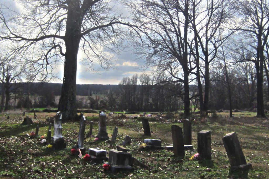
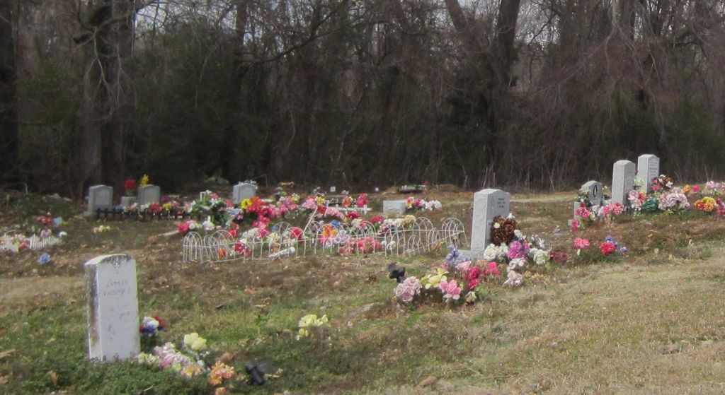
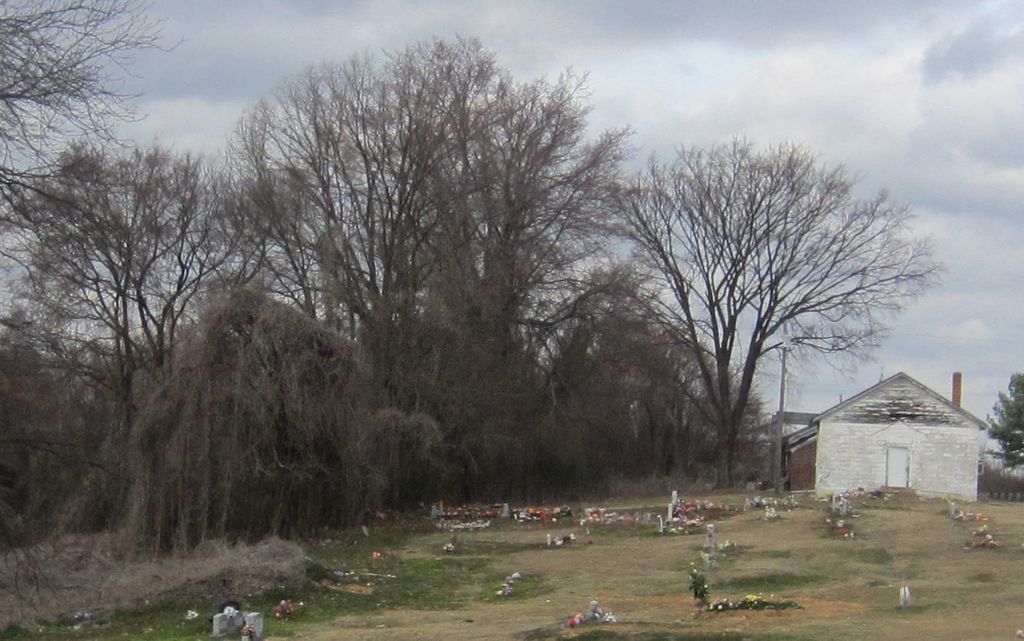
| Location | : | Robinson Gin, DeSoto County, USA |
| Coordinate | : | 34.7655260, -90.0242000 |
| Description | : | From the intersection of MS-304 E & I-55, in Hernando, travel west on MS-304 W/Commerce St. for 1.0 mi.; turning south (left) onto US-51 S.. going 0.5 mi.; turning west (right) onto W Oak Grove Rd., going 0.4 mi.; turning south (left) onto Robertson Gin Rd., going 4.0 mi. to the cemetery on the west (right) side of the road, just past the old "closed" Zion Hill M.B. Church buildings. The cemetery is about 0.4 miles south of the new Zion Hill Missionary Baptist Church. |
frequently asked questions (FAQ):
-
Where is Zion Hill Missionary Baptist Church Cemetery?
Zion Hill Missionary Baptist Church Cemetery is located at 6425 Robertson Gin Road Robinson Gin, DeSoto County ,Mississippi , 38632USA.
-
Zion Hill Missionary Baptist Church Cemetery cemetery's updated grave count on graveviews.com?
0 memorials
-
Where are the coordinates of the Zion Hill Missionary Baptist Church Cemetery?
Latitude: 34.7655260
Longitude: -90.0242000
Nearby Cemetories:
1. Robertson Family Cemetery
Hernando, DeSoto County, USA
Coordinate: 34.7850740, -90.0318010
2. Moore Family Cemetery
Hernando, DeSoto County, USA
Coordinate: 34.7441050, -90.0233790
3. William Grant Merritt Cemetery
Hernando, DeSoto County, USA
Coordinate: 34.7348500, -90.0499300
4. Solomon Cemetery
Hernando, DeSoto County, USA
Coordinate: 34.7281240, -90.0259670
5. McAninch Family Cemetery
Love, DeSoto County, USA
Coordinate: 34.7342500, -89.9880830
6. Perry Cemetery
DeSoto County, USA
Coordinate: 34.7334950, -89.9880360
7. Love Family Cemetery
Hernando, DeSoto County, USA
Coordinate: 34.7457610, -89.9764740
8. Love Cemetery
Hernando, DeSoto County, USA
Coordinate: 34.7600740, -89.9697020
9. Farley Cemetery
DeSoto County, USA
Coordinate: 34.7841988, -89.9721985
10. Wheeler Cemetery
Hernando, DeSoto County, USA
Coordinate: 34.7984270, -89.9801780
11. Brown Family Cemetery
Hernando, DeSoto County, USA
Coordinate: 34.7933040, -90.0769560
12. Springhill Cemetery
Hernando, DeSoto County, USA
Coordinate: 34.8165870, -90.0020220
13. Pleasant Hill MB Church Cemetery
Pleasant Hill, DeSoto County, USA
Coordinate: 34.7863640, -90.0852230
14. Hernando Memorial Park
Hernando, DeSoto County, USA
Coordinate: 34.8175080, -89.9909620
15. Oak Grove Church Cemetery
Hernando, DeSoto County, USA
Coordinate: 34.8092190, -90.0782130
16. Oliver Family Cemetery
Hernando, DeSoto County, USA
Coordinate: 34.8280460, -90.0427010
17. Vance Family Cemetery
Hernando, DeSoto County, USA
Coordinate: 34.8285220, -89.9993010
18. Rising Sun Road Cemetery
Hernando, DeSoto County, USA
Coordinate: 34.8231110, -90.0694400
19. Grays Creek Cemetery
Hernando, DeSoto County, USA
Coordinate: 34.7869240, -89.9350850
20. Forrest Family Cemetery
Hernando, DeSoto County, USA
Coordinate: 34.8170000, -89.9530000
21. Antioch M.B. Church Cemetery #2
Coldwater, Tate County, USA
Coordinate: 34.6852450, -90.0432750
22. Magnolia Cemetery
Coldwater, Tate County, USA
Coordinate: 34.6989420, -89.9568420
23. Knights Chapel CME Church Cemetery
Hernando, DeSoto County, USA
Coordinate: 34.8171990, -89.9371210
24. Huddleston Family Cemetery
Hernando, DeSoto County, USA
Coordinate: 34.8535000, -90.0426000