
| Memorials | : | 23 |
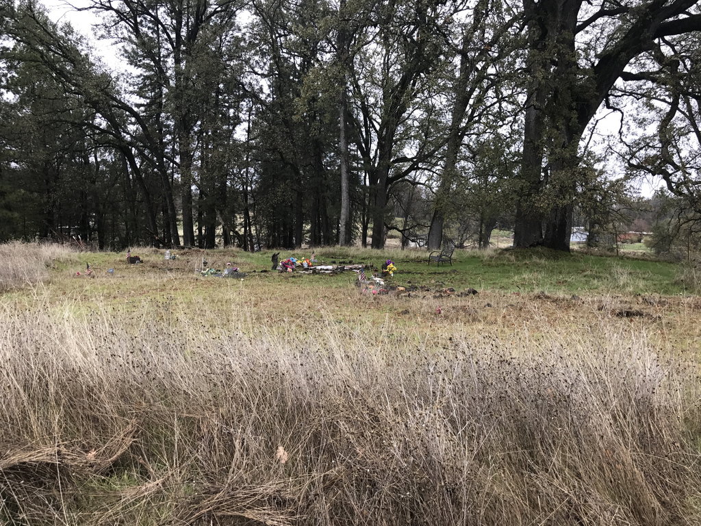
| Location | : | West Point, Calaveras County, USA |
| Coordinate | : | 38.3811400, -120.5348700 |
| Description | : | From West Point, drive west on Highway 26. Continue west to the Sandy Gulch Center & Mini Storage located at 20693 Highway 26. Turn into the driveway, and continue straight back, veering to the right onto a dirt road that takes you behind the property. When you reach a gate, there will be a road to the left. Cemetery is located about 500 feet down the road on the right. |
frequently asked questions (FAQ):
-
Where is Indian Cemetery?
Indian Cemetery is located at West Point, Calaveras County ,California ,USA.
-
Indian Cemetery cemetery's updated grave count on graveviews.com?
23 memorials
-
Where are the coordinates of the Indian Cemetery?
Latitude: 38.3811400
Longitude: -120.5348700
Nearby Cemetories:
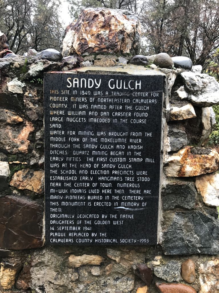
1. Sandy Gulch Cemetery
West Point, Calaveras County, USA
Coordinate: 38.3815700, -120.5377900
2. West Point Cemetery
West Point, Calaveras County, USA
Coordinate: 38.3999650, -120.5327220
3. Independence Cemetery
Rail Road Flat, Calaveras County, USA
Coordinate: 38.3564230, -120.5202020
4. Albers Ranch Family Cemetery
Glencoe, Calaveras County, USA
Coordinate: 38.3601000, -120.5673600
5. Danielson Ranch Cemetery
Glencoe, Calaveras County, USA
Coordinate: 38.3578440, -120.5738220
6. Amador Memorial Cemetery
Pioneer, Amador County, USA
Coordinate: 38.4398918, -120.5428314
7. Sandoz-Fuchs Family Cemetery
Calaveras County, USA
Coordinate: 38.3747150, -120.4540210
8. Aqueduct City Cemetery
Pine Grove, Amador County, USA
Coordinate: 38.3978004, -120.6302872
9. Baker Ranch Family Cemetery
Indian Creek, Calaveras County, USA
Coordinate: 38.3269500, -120.6208800
10. Volcano Protestant Cemetery
Volcano, Amador County, USA
Coordinate: 38.4449997, -120.6269989
11. Volcano Catholic Cemetery
Volcano, Amador County, USA
Coordinate: 38.4459991, -120.6279984
12. Saint Peter and Paul Catholic Cemetery
Clinton, Amador County, USA
Coordinate: 38.3750140, -120.6652150
13. Pine Grove Cemetery
Pine Grove, Amador County, USA
Coordinate: 38.4118780, -120.6596340
14. Lockwood Station Cemetery
Volcano, Amador County, USA
Coordinate: 38.4882670, -120.5954040
15. Mountain Ranch Grounds Cemetery
Mountain Ranch, Calaveras County, USA
Coordinate: 38.2532360, -120.5404110
16. Jesus Maria Cemetery
Jesus Maria, Calaveras County, USA
Coordinate: 38.2835970, -120.6405370
17. Andreason Cemetery
Apex, El Dorado County, USA
Coordinate: 38.5292015, -120.5800018
18. Mountain Ranch Cemetery
Mountain Ranch, Calaveras County, USA
Coordinate: 38.2282730, -120.5398440
19. Saint Thomas Aquinas Cemetery
Mokelumne Hill, Calaveras County, USA
Coordinate: 38.3027344, -120.7031784
20. Mokelumne Hill Protestant Cemetery
Mokelumne Hill, Calaveras County, USA
Coordinate: 38.3023640, -120.7096420
21. Pioneer Jewish Cemetery
Mokelumne Hill, Calaveras County, USA
Coordinate: 38.3034096, -120.7138214
22. Doster Family Cemetery
Mountain Ranch, Calaveras County, USA
Coordinate: 38.2295012, -120.6059266
23. Indian Diggings Cemetery
El Dorado County, USA
Coordinate: 38.5508003, -120.5849991
24. Cave City Cemetery
Cave City, Calaveras County, USA
Coordinate: 38.2023600, -120.5083900