
| Memorials | : | 526 |
| Location | : | Inskip with Sowerby, Wyre Borough, England |
| Coordinate | : | 53.8353150, -2.8299610 |
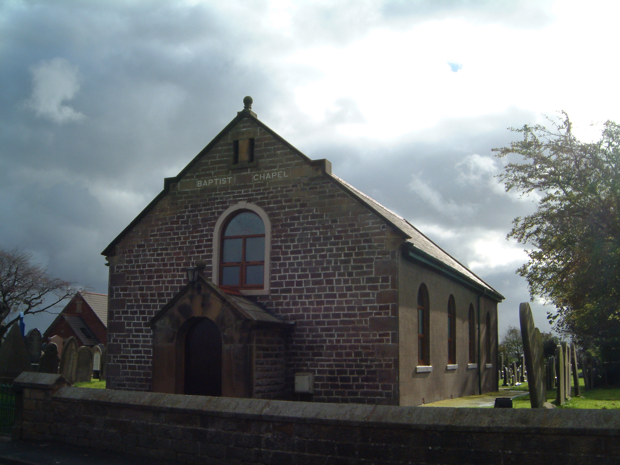
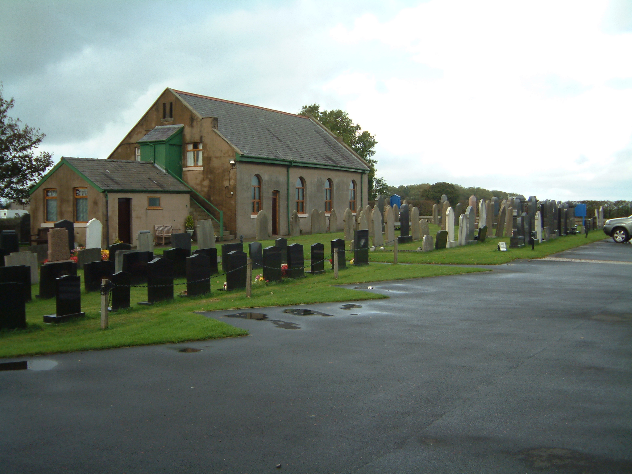
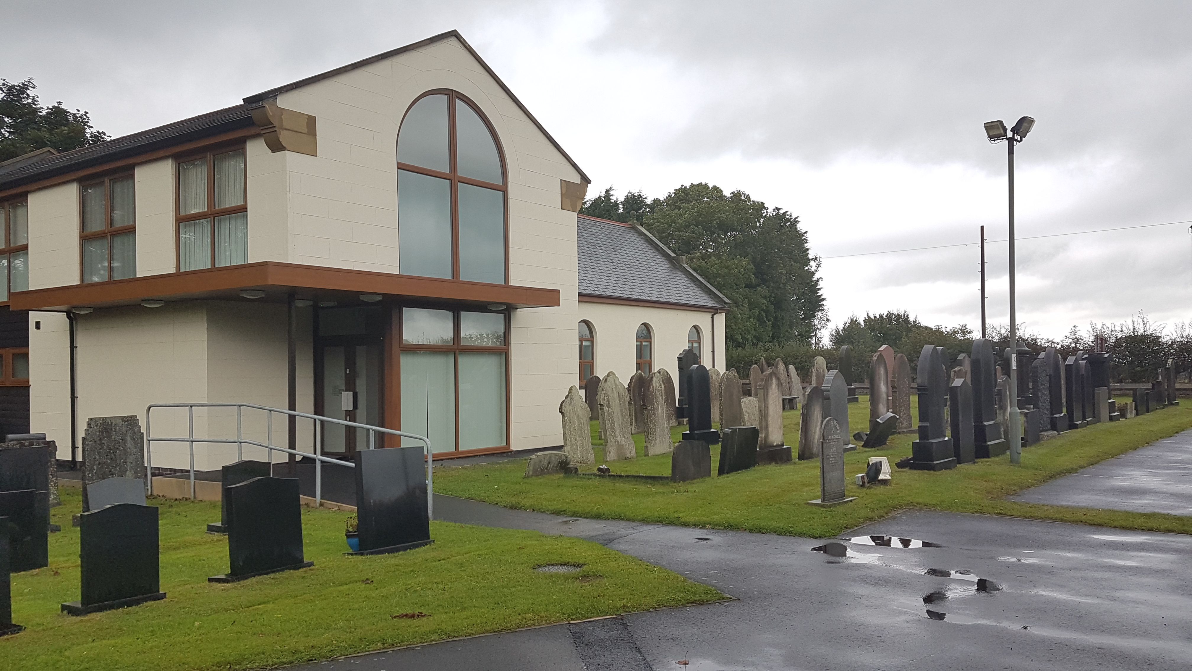
| Description | : | In the Domesday book the 'Manor of Inskip' is mentioned, but at that time the nearest church was at St. Michaels, already 400 years old. In 1629 the first Nonconformist Church in the district, Elswick Congregational Church, was built. The minister of Elswick Church, during an awakening in the district was baptised in 1795, as a result of which a group of like-minded souls began meeting together first at Roebuck, then later they moved to Inskip. Many baptisms were conducted in the River Brock in 1815, and the meetings took place in a thatched cottage near the site of the... Read More |
frequently asked questions (FAQ):
-
Where is Inskip Baptist Churchyard?
Inskip Baptist Churchyard is located at Inskip with Sowerby, Wyre Borough ,Lancashire , PR4 0TTEngland.
-
Inskip Baptist Churchyard cemetery's updated grave count on graveviews.com?
526 memorials
-
Where are the coordinates of the Inskip Baptist Churchyard?
Latitude: 53.8353150
Longitude: -2.8299610
Nearby Cemetories:
1. St. Peters Churchyard
Inskip with Sowerby, Wyre Borough, England
Coordinate: 53.8347100, -2.8175200
2. St. Michael’s Churchyard
St Michael's on Wyre, Wyre Borough, England
Coordinate: 53.8628050, -2.8195430
3. Elswick Congregational Chapelyard
Elswick, Fylde Borough, England
Coordinate: 53.8378950, -2.8775320
4. St Mary Roman Catholic Churchyard
Great Eccleston, Wyre Borough, England
Coordinate: 53.8535420, -2.8710090
5. Christ Churchyard
Treales, Fylde Borough, England
Coordinate: 53.8045970, -2.8440710
6. St Anne Churchyard
Great Eccleston, Wyre Borough, England
Coordinate: 53.8481413, -2.8835925
7. St. Helen's Churchyard
Kirkland (Churchtown), Wyre Borough, England
Coordinate: 53.8790700, -2.7901000
8. Saint Anne's Church
Woodplumpton, City of Preston, England
Coordinate: 53.8038130, -2.7621940
9. Saint Joseph's Roman Catholic Church
Wesham, Fylde Borough, England
Coordinate: 53.7928600, -2.8871800
10. St. Hilda's Churchyard
Bilsborrow, Wyre Borough, England
Coordinate: 53.8522170, -2.7420090
11. St Mary's Newhouse
Barton, City of Preston, England
Coordinate: 53.8205240, -2.7406500
12. St. John’s Churchyard
Out Rawcliffe, Wyre Borough, England
Coordinate: 53.8741650, -2.8959310
13. Christ Church Churchyard
Wesham, Fylde Borough, England
Coordinate: 53.7905000, -2.8845600
14. St. Lawrence Churchyard
Barton, City of Preston, England
Coordinate: 53.8289213, -2.7366654
15. St Michael Churchyard
Kirkham, Fylde Borough, England
Coordinate: 53.7843570, -2.8709520
16. Zion Chapel Cemetery
Kirkham, Fylde Borough, England
Coordinate: 53.7814380, -2.8721260
17. St. John the Evangelist Churchyard
Clifton, Fylde Borough, England
Coordinate: 53.7758600, -2.8158500
18. Kirkland Strict and Particular Baptist Chapel
Nateby, Wyre Borough, England
Coordinate: 53.8961210, -2.8170130
19. St Anne Churchyard
Singleton, Fylde Borough, England
Coordinate: 53.8379280, -2.9359890
20. St. Anne's Churchyard
Blackburn, Blackburn with Darwen Unitary Authority, England
Coordinate: 53.8381160, -2.9362870
21. St Andrew George Haydock Roman Catholic Churchyard
Cottam, City of Preston, England
Coordinate: 53.7879280, -2.7591570
22. Saint John the Evangelist Churchyard
Kirkham, Fylde Borough, England
Coordinate: 53.7808000, -2.8873870
23. St. Mary's Churchyard
Lea, City of Preston, England
Coordinate: 53.7733810, -2.7942770
24. St. Thomas Churchyard
Garstang, Wyre Borough, England
Coordinate: 53.8992300, -2.7764500