
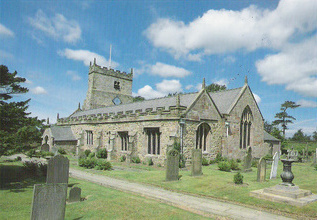
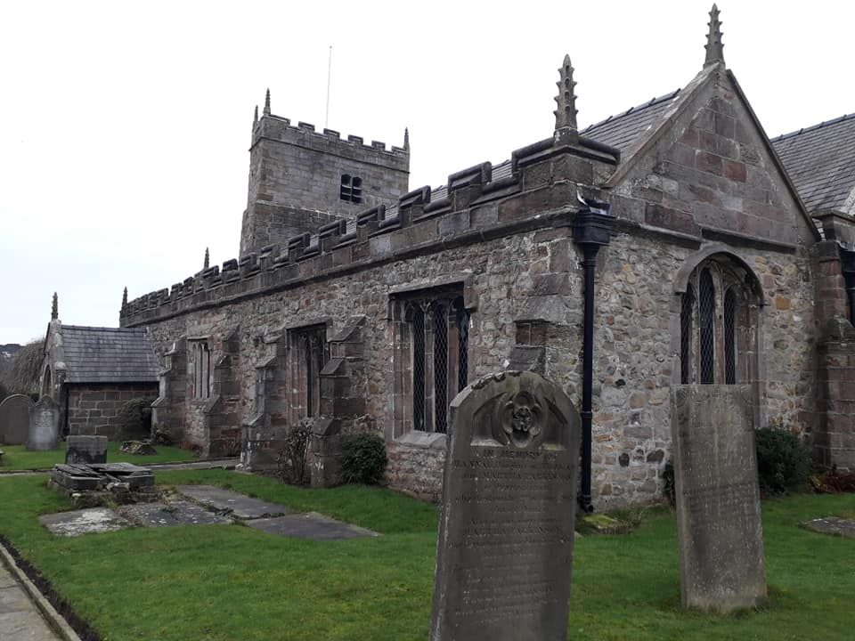
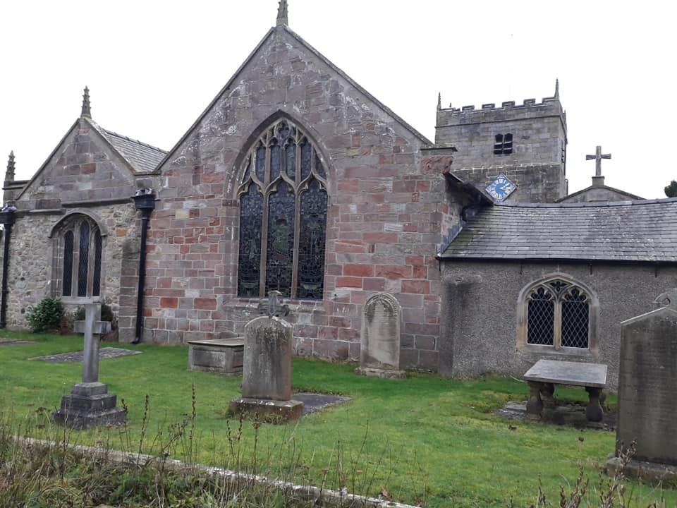
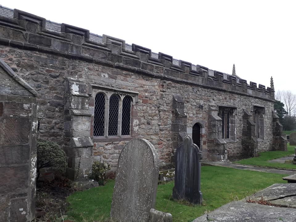
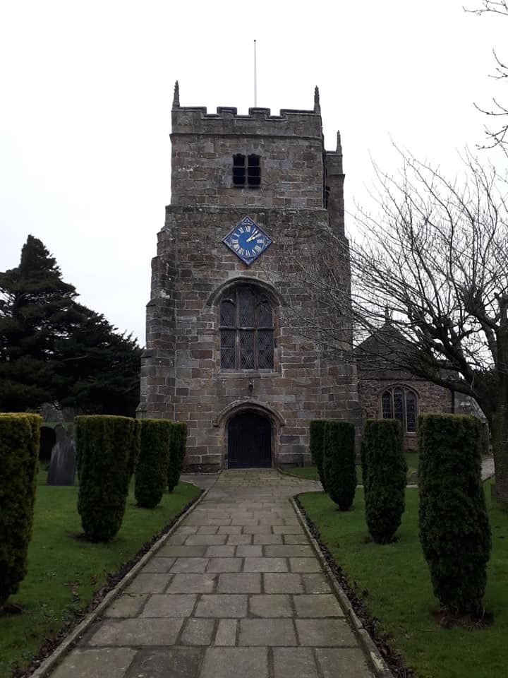
| Memorials | : | 614 |
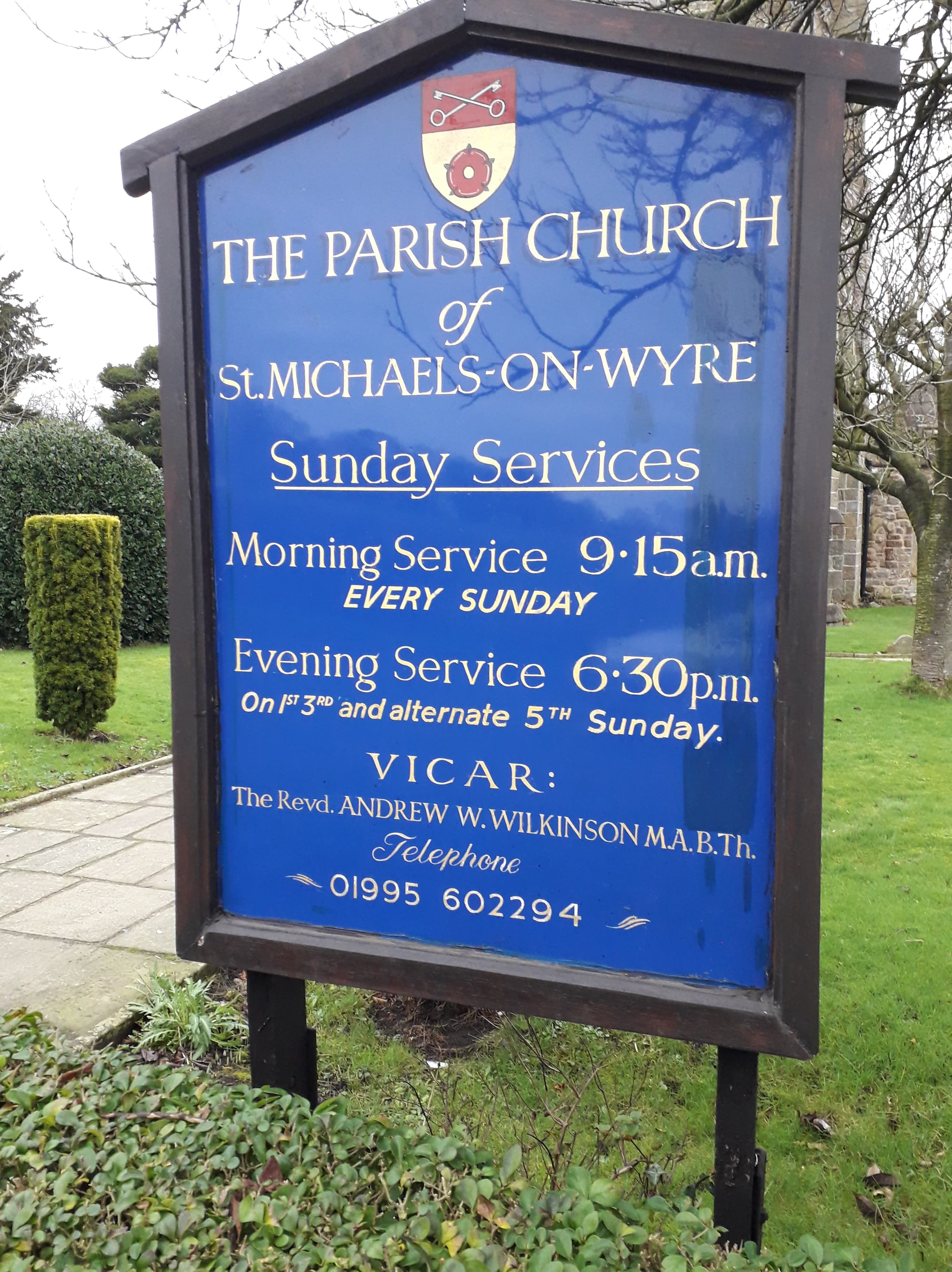
| Location | : | St Michael's on Wyre, Wyre Borough, England |
| Coordinate | : | 53.8628050, -2.8195430 |
frequently asked questions (FAQ):
-
Where is St. Michael’s Churchyard?
St. Michael’s Churchyard is located at St Michael's on Wyre, Wyre Borough ,Lancashire ,England.
-
St. Michael’s Churchyard cemetery's updated grave count on graveviews.com?
614 memorials
-
Where are the coordinates of the St. Michael’s Churchyard?
Latitude: 53.8628050
Longitude: -2.8195430

Nearby Cemetories:
1. St. Helen's Churchyard
Kirkland (Churchtown), Wyre Borough, England
Coordinate: 53.8790700, -2.7901000
2. St. Peters Churchyard
Inskip with Sowerby, Wyre Borough, England
Coordinate: 53.8347100, -2.8175200
3. Inskip Baptist Churchyard
Inskip with Sowerby, Wyre Borough, England
Coordinate: 53.8353150, -2.8299610
4. St Mary Roman Catholic Churchyard
Great Eccleston, Wyre Borough, England
Coordinate: 53.8535420, -2.8710090
5. Kirkland Strict and Particular Baptist Chapel
Nateby, Wyre Borough, England
Coordinate: 53.8961210, -2.8170130
6. St Anne Churchyard
Great Eccleston, Wyre Borough, England
Coordinate: 53.8481413, -2.8835925
7. Elswick Congregational Chapelyard
Elswick, Fylde Borough, England
Coordinate: 53.8378950, -2.8775320
8. St. Thomas Churchyard
Garstang, Wyre Borough, England
Coordinate: 53.8992300, -2.7764500
9. St Mary and St Michael Catholic Churchyard
Garstang, Wyre Borough, England
Coordinate: 53.8975610, -2.7706170
10. St. John’s Churchyard
Out Rawcliffe, Wyre Borough, England
Coordinate: 53.8741650, -2.8959310
11. St. Hilda's Churchyard
Bilsborrow, Wyre Borough, England
Coordinate: 53.8522170, -2.7420090
12. Garstang United Reformed Churchyard
Garstang, Wyre Borough, England
Coordinate: 53.9026500, -2.7747400
13. St. Lawrence Churchyard
Barton, City of Preston, England
Coordinate: 53.8289213, -2.7366654
14. Christ Churchyard
Treales, Fylde Borough, England
Coordinate: 53.8045970, -2.8440710
15. St Thomas Churchyard
Claughton-on-Brock, Wyre Borough, England
Coordinate: 53.8752030, -2.7199160
16. St Mary's Newhouse
Barton, City of Preston, England
Coordinate: 53.8205240, -2.7406500
17. All Saints Parish Churchyard
Barnacre with Bonds, Wyre Borough, England
Coordinate: 53.9079120, -2.7430580
18. Saint Anne's Church
Woodplumpton, City of Preston, England
Coordinate: 53.8038130, -2.7621940
19. St Anne Churchyard
Singleton, Fylde Borough, England
Coordinate: 53.8379280, -2.9359890
20. St. Anne's Churchyard
Blackburn, Blackburn with Darwen Unitary Authority, England
Coordinate: 53.8381160, -2.9362870
21. St William of York Church
Pilling, Wyre Borough, England
Coordinate: 53.9235047, -2.8934617
22. St. Peter's Churchyard
Garstang, Wyre Borough, England
Coordinate: 53.9309510, -2.7591190
23. Saint Joseph's Roman Catholic Church
Wesham, Fylde Borough, England
Coordinate: 53.7928600, -2.8871800
24. Christ Church Churchyard
Wesham, Fylde Borough, England
Coordinate: 53.7905000, -2.8845600