
| Memorials | : | 139 |
| Location | : | Irchester, Wellingborough Borough, England |
| Coordinate | : | 52.2843900, -0.6446900 |
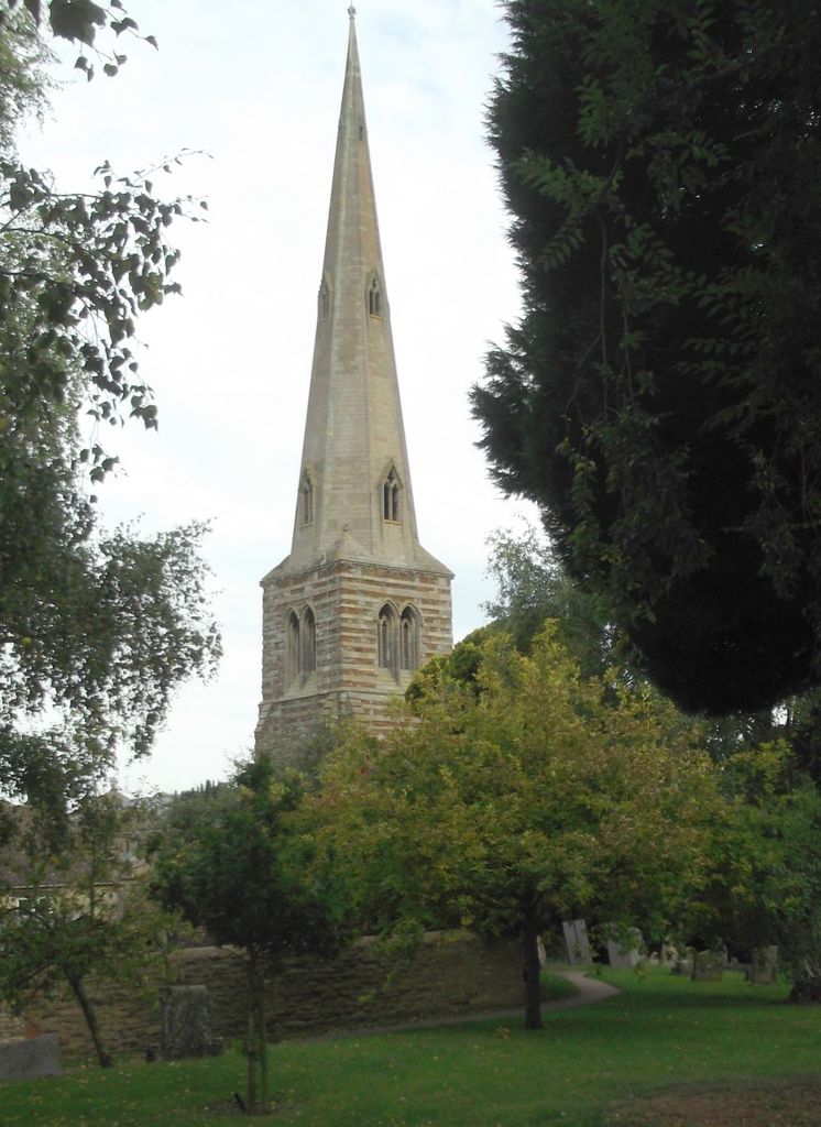
| Description | : | The cemetery contains a large number of trees and there are not as many headstones as one might expect. The majority of the memorials are to the West of the church. From the churchyard one can cross St Katharine's Way and find oneself right next to the town cemetery. |
frequently asked questions (FAQ):
-
Where is Irchester Saint Katherine Churchyard?
Irchester Saint Katherine Churchyard is located at High Street Irchester, Wellingborough Borough ,Northamptonshire , NN29 7AJEngland.
-
Irchester Saint Katherine Churchyard cemetery's updated grave count on graveviews.com?
124 memorials
-
Where are the coordinates of the Irchester Saint Katherine Churchyard?
Latitude: 52.2843900
Longitude: -0.6446900
Nearby Cemetories:
1. Irchester Cemetery
Irchester, Wellingborough Borough, England
Coordinate: 52.2848000, -0.6456000
2. St. Michael's Church
Farndish, Bedford Borough, England
Coordinate: 52.2638108, -0.6416839
3. St Mary Churchyard
Rushden, East Northamptonshire Borough, England
Coordinate: 52.2885570, -0.5973860
4. London Road Cemetery
Wellingborough, Wellingborough Borough, England
Coordinate: 52.2986000, -0.6878000
5. St Lawrence Churchyard
Wymington, Bedford Borough, England
Coordinate: 52.2694310, -0.6017230
6. Nene Valley Crematorium
Wellingborough, Wellingborough Borough, England
Coordinate: 52.2827104, -0.6945270
7. All Saints Churchyard
Wellingborough, Wellingborough Borough, England
Coordinate: 52.3010890, -0.6879730
8. Wollaston
Wollaston, Wellingborough Borough, England
Coordinate: 52.2581088, -0.6726313
9. Doddington Road Cemetery
Wellingborough, Wellingborough Borough, England
Coordinate: 52.2942380, -0.6956600
10. St Mary the Virgin Churchyard
Podington, Bedford Borough, England
Coordinate: 52.2539100, -0.6220900
11. New Irthlingborough Cemetery
Irthlingborough, East Northamptonshire Borough, England
Coordinate: 52.3178531, -0.6294229
12. All Hallows Churchyard
Wellingborough Borough, England
Coordinate: 52.3024740, -0.6937430
13. Newton Road Cemetery
Rushden, East Northamptonshire Borough, England
Coordinate: 52.2882140, -0.5859750
14. Higham Ferrers Cemetery
Higham Ferrers, East Northamptonshire Borough, England
Coordinate: 52.3084850, -0.5945270
15. St. Mary the Virgin Churchyard
Higham Ferrers, East Northamptonshire Borough, England
Coordinate: 52.3065500, -0.5915240
16. St. Nicholas' Churchyard
Great Doddington, Wellingborough Borough, England
Coordinate: 52.2747326, -0.7097420
17. St Rumwold's Churchyard
Strixton, Wellingborough Borough, England
Coordinate: 52.2456740, -0.6777530
18. St Peter's Churchyard
Irthlingborough, East Northamptonshire Borough, England
Coordinate: 52.3251642, -0.6101925
19. Saint Mary Churchyard
Wilby, Wellingborough Borough, England
Coordinate: 52.2868890, -0.7309180
20. Saint Mary the Virgin Churchyard Extension
Finedon, Wellingborough Borough, England
Coordinate: 52.3385489, -0.6613748
21. Finedon
Finedon, Wellingborough Borough, England
Coordinate: 52.3407999, -0.6648562
22. All Saints Churchyard
Great Harrowden, Wellingborough Borough, England
Coordinate: 52.3286800, -0.7096600
23. Earls Barton Cemetery
Earls Barton, Wellingborough Borough, England
Coordinate: 52.2739600, -0.7468900
24. St. Mary the Virgin Churchyard
Bozeat, Wellingborough Borough, England
Coordinate: 52.2235060, -0.6747470