| Memorials | : | 6 |
| Location | : | Mount Airy, Randolph County, USA |
| Coordinate | : | 39.3833620, -92.6098600 |
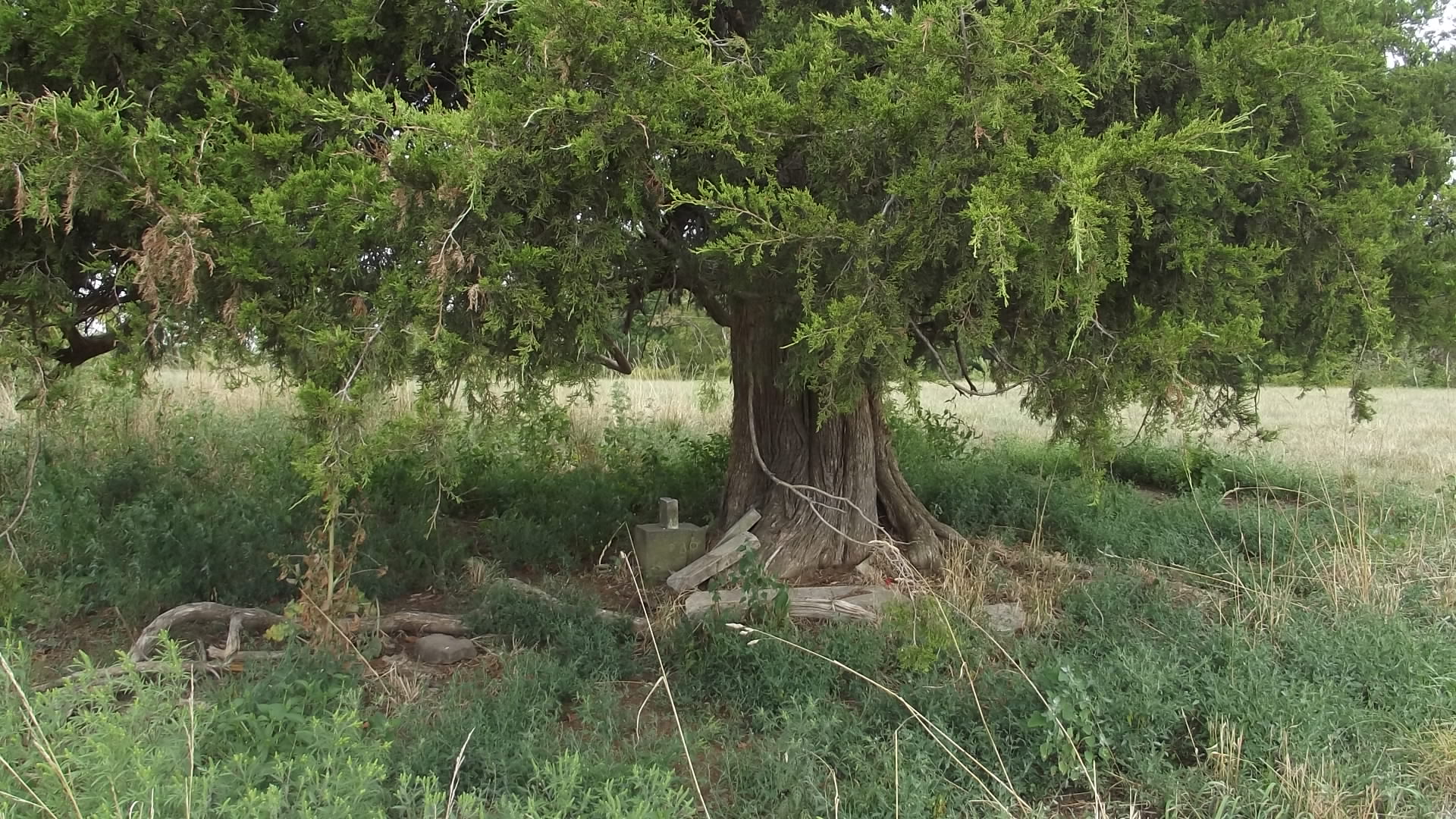
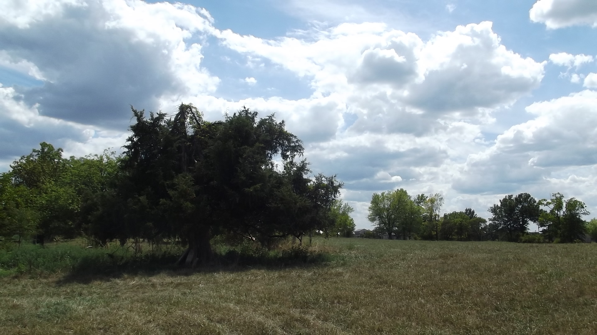
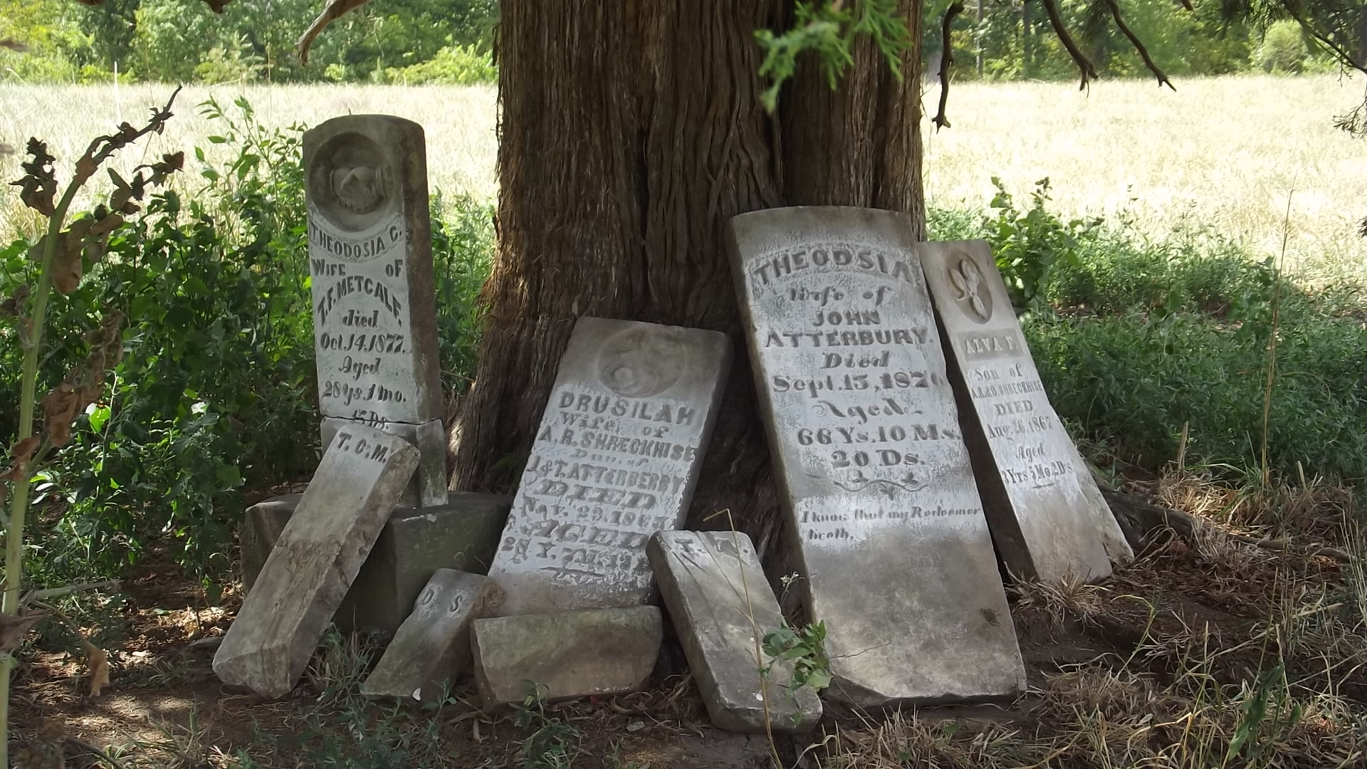
| Description | : | Randolf County Twp 53 North Range 15 West of 5th Principal Meridian. Mt Airy, Randolf Co., MO farm owned by a Mr Hall in 1959 and the cemetery was in a cedar grove in the meadow, not far from the outbuildings under an old cedar tree with the top broken out. The four stones located were all down but in good condition. Two bases were located still in their original positions. The ground was too hard to probe deeply and thoroughly, so there could be more stones out of sight under the sod. Many thanks to Mrs Hall for her... Read More |
frequently asked questions (FAQ):
-
Where is John Atterbury Farm Cemetery?
John Atterbury Farm Cemetery is located at No GPS information available Add GPST53 R15 S21 W ½ NW ¼ off CR 2150 about 1 1/2 miles east of Mt Airy. Mount Airy, Randolph County ,Missouri ,USA.
-
John Atterbury Farm Cemetery cemetery's updated grave count on graveviews.com?
6 memorials
-
Where are the coordinates of the John Atterbury Farm Cemetery?
Latitude: 39.3833620
Longitude: -92.6098600
Nearby Cemetories:
1. Mathis Cemetery
Huntsville, Randolph County, USA
Coordinate: 39.3806380, -92.6250540
2. Hurt Cemetery
Mount Airy, Randolph County, USA
Coordinate: 39.3720890, -92.6300010
3. Oliver Cemetery
Randolph County, USA
Coordinate: 39.3871600, -92.5831100
4. Fullington Cemetery
Randolph County, USA
Coordinate: 39.3919730, -92.5837650
5. Old Mount Airy-Stark Cemetery
Randolph County, USA
Coordinate: 39.3760700, -92.6418100
6. Mount Salem Cemetery
Huntsville, Randolph County, USA
Coordinate: 39.3890200, -92.5688200
7. Jackson Family Cemetery
Huntsville, Randolph County, USA
Coordinate: 39.3759810, -92.5692600
8. Burton-Burk Cemetery
Clifton Hill, Randolph County, USA
Coordinate: 39.4152590, -92.5930630
9. Original Nichols Cemetery
Randolph County, USA
Coordinate: 39.3712360, -92.5668110
10. Charles Barron Cemetery
Randolph County, USA
Coordinate: 39.3805710, -92.5589660
11. Goodman Cemetery
Mount Airy, Randolph County, USA
Coordinate: 39.3629680, -92.6539190
12. Babcock Farm Cemetery
Clifton Hill, Randolph County, USA
Coordinate: 39.4036000, -92.6660000
13. Patrick Robertson Cemetery
Randolph County, USA
Coordinate: 39.3418470, -92.5756330
14. Freeman Cemetery
Randolph County, USA
Coordinate: 39.3476470, -92.5616940
15. Bagby Cemetery
Huntsville, Randolph County, USA
Coordinate: 39.3474998, -92.5610962
16. Mayo Graveyard
Mount Airy, Randolph County, USA
Coordinate: 39.3698380, -92.6755570
17. Nicholas Dysart Cemetery
Randolph County, USA
Coordinate: 39.3302260, -92.5969630
18. McDavitt Family Cemetery
Randolph County, USA
Coordinate: 39.3743360, -92.6806940
19. Head Family Cemetery
Randolph County, USA
Coordinate: 39.3468500, -92.6771800
20. Ferguson Farm Cemetery
Mount Airy, Randolph County, USA
Coordinate: 39.3380370, -92.6694590
21. Sweet Springs Baptist Church Cemetery
Huntsville, Randolph County, USA
Coordinate: 39.3816500, -92.5259500
22. Clifton Hill City Cemetery
Clifton Hill, Randolph County, USA
Coordinate: 39.4370300, -92.6690000
23. Gunn Cemetery
Randolph County, USA
Coordinate: 39.4159540, -92.6908860
24. Collins Family Cemetery
Randolph County, USA
Coordinate: 39.3574860, -92.5243130


