| Memorials | : | 0 |
| Location | : | Clifton Hill, Randolph County, USA |
| Coordinate | : | 39.4152590, -92.5930630 |
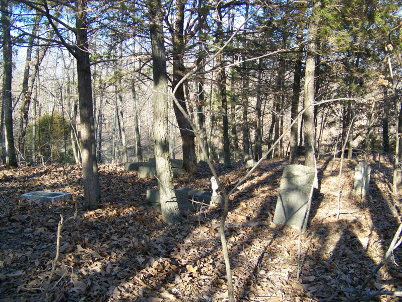
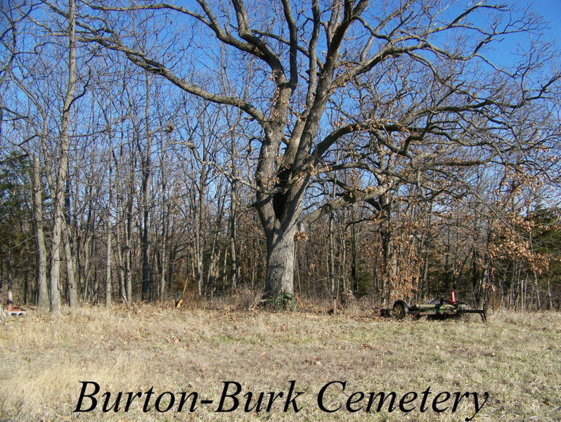
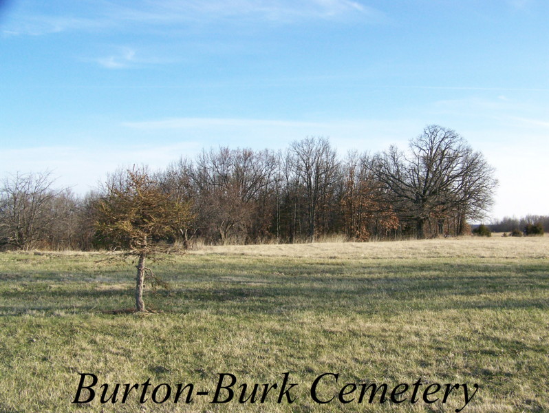
| Description | : | Located in T53 R15 S4 off of CR 2110 in the edge of some woods. This cemetery is on a hill and many stones have fallen or been vandalized. There are also what seems to be many unmarked graves or perhaps the stones are out of sight under the leaf cover and brush. |
frequently asked questions (FAQ):
-
Where is Burton-Burk Cemetery?
Burton-Burk Cemetery is located at Clifton Hill, Randolph County ,Missouri ,USA.
-
Burton-Burk Cemetery cemetery's updated grave count on graveviews.com?
0 memorials
-
Where are the coordinates of the Burton-Burk Cemetery?
Latitude: 39.4152590
Longitude: -92.5930630
Nearby Cemetories:
1. Fullington Cemetery
Randolph County, USA
Coordinate: 39.3919730, -92.5837650
2. Oliver Cemetery
Randolph County, USA
Coordinate: 39.3871600, -92.5831100
3. Mount Salem Cemetery
Huntsville, Randolph County, USA
Coordinate: 39.3890200, -92.5688200
4. John Atterbury Farm Cemetery
Mount Airy, Randolph County, USA
Coordinate: 39.3833620, -92.6098600
5. Boulware-Morehead Cemetery
Randolph County, USA
Coordinate: 39.4398600, -92.5504750
6. Mathis Cemetery
Huntsville, Randolph County, USA
Coordinate: 39.3806380, -92.6250540
7. Jackson Family Cemetery
Huntsville, Randolph County, USA
Coordinate: 39.3759810, -92.5692600
8. Charles Barron Cemetery
Randolph County, USA
Coordinate: 39.3805710, -92.5589660
9. Henry Austin Cemetery
Huntsville, Randolph County, USA
Coordinate: 39.4365180, -92.5434960
10. Huntsville City Cemetery
Huntsville, Randolph County, USA
Coordinate: 39.4440500, -92.5460000
11. Original Nichols Cemetery
Randolph County, USA
Coordinate: 39.3712360, -92.5668110
12. Little Union Primitive Baptist Church Cemetery
Randolph County, USA
Coordinate: 39.4528000, -92.5510280
13. New Fort Henry Cemetery
Fort Henry, Randolph County, USA
Coordinate: 39.4616500, -92.6164990
14. Old Fort Henry Cemetery
Clifton Hill, Randolph County, USA
Coordinate: 39.4636990, -92.6114830
15. Hurt Cemetery
Mount Airy, Randolph County, USA
Coordinate: 39.3720890, -92.6300010
16. Old Mount Airy-Stark Cemetery
Randolph County, USA
Coordinate: 39.3760700, -92.6418100
17. Klink-Lay Cemetery
Randolph County, USA
Coordinate: 39.4474120, -92.5345440
18. Babcock Farm Cemetery
Clifton Hill, Randolph County, USA
Coordinate: 39.4036000, -92.6660000
19. Devore Family Cemetery
Randolph County, USA
Coordinate: 39.4269540, -92.5165500
20. Sweet Springs Baptist Church Cemetery
Huntsville, Randolph County, USA
Coordinate: 39.3816500, -92.5259500
21. David Austin Cemetery
Huntsville, Randolph County, USA
Coordinate: 39.4737420, -92.5649930
22. Clifton Hill City Cemetery
Clifton Hill, Randolph County, USA
Coordinate: 39.4370300, -92.6690000
23. Hagar Cemetery
Huntsville, Randolph County, USA
Coordinate: 39.4049988, -92.5130997
24. Goodman Cemetery
Mount Airy, Randolph County, USA
Coordinate: 39.3629680, -92.6539190


