
| Memorials | : | 3 |
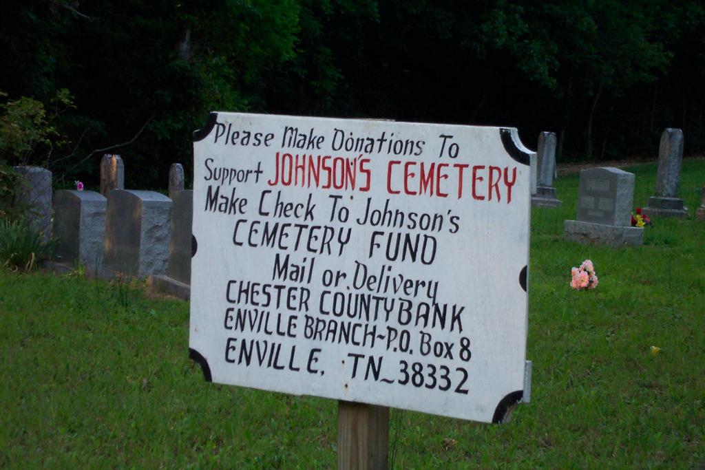
| Location | : | Enville, Chester County, USA |
| Coordinate | : | 35.3995020, -88.4091130 |
| Description | : | From the intersection of TN-22 & TN-225 in downtown Enville, TN, travel east on TN-22 for 0.7 mi., turning north (left) onto Cash School Rd., going 1.0 mi., turning east (right) onto a gravel road that leads about 200 yards northeast into the woods, then to a clearing & the cemetery. |
frequently asked questions (FAQ):
-
Where is Johnson Cemetery?
Johnson Cemetery is located at Cash School Rd Enville, Chester County ,Tennessee ,USA.
-
Johnson Cemetery cemetery's updated grave count on graveviews.com?
3 memorials
-
Where are the coordinates of the Johnson Cemetery?
Latitude: 35.3995020
Longitude: -88.4091130
Nearby Cemetories:
1. Woodlawn Cemetery
Enville, Chester County, USA
Coordinate: 35.3922005, -88.4319000
2. Enville Baptist Church Cemetery
Enville, Chester County, USA
Coordinate: 35.3854530, -88.4287630
3. Milledgeville Cemetery
Milledgeville, McNairy County, USA
Coordinate: 35.3723650, -88.3712060
4. Grove Springs Cemetery
Chester County, USA
Coordinate: 35.4413986, -88.4049988
5. Mount Zion Cemetery
Adamsville, McNairy County, USA
Coordinate: 35.3576680, -88.4036580
6. Mount Zion Cemetery
Milledgeville, McNairy County, USA
Coordinate: 35.3574982, -88.4036026
7. Carroll Cemetery
Chester County, USA
Coordinate: 35.4477997, -88.4197006
8. O'Neal Cemetery
McNairy County, USA
Coordinate: 35.3671410, -88.4553990
9. Cabo Cemetery
Enville, Chester County, USA
Coordinate: 35.4245700, -88.4619800
10. Benson Cemetery
Chester County, USA
Coordinate: 35.4453011, -88.3685989
11. Amis Cemetery
Hardin County, USA
Coordinate: 35.3521996, -88.3625031
12. Roby Cemetery
Chester County, USA
Coordinate: 35.4644012, -88.3983002
13. Smith Cemetery
Chester County, USA
Coordinate: 35.4406013, -88.4725037
14. Criner Cemetery
Roby, Chester County, USA
Coordinate: 35.4662000, -88.4141000
15. Moss Cemetery
Chester County, USA
Coordinate: 35.4361000, -88.4805984
16. Hurricane Church Cemetery
Hinkle, Hardin County, USA
Coordinate: 35.4080320, -88.3240380
17. Marl Bluff Cemetery
Sardis, Henderson County, USA
Coordinate: 35.4570870, -88.3561740
18. Rocky Knob Church Cemetery
Finger, McNairy County, USA
Coordinate: 35.3541985, -88.4783020
19. Brazelton Cemetery
Lebanon, Hardin County, USA
Coordinate: 35.3868220, -88.3217120
20. Stewart Cemetery
Chester County, USA
Coordinate: 35.4700012, -88.4417038
21. Barton Cemetery
Roby, Chester County, USA
Coordinate: 35.4683342, -88.4483871
22. Hardin Cemetery
Adamsville, McNairy County, USA
Coordinate: 35.3231010, -88.4285965
23. Spring Hill Cemetery
Sardis, Henderson County, USA
Coordinate: 35.4277992, -88.3091965
24. Edge Cemetery
Reagan, Henderson County, USA
Coordinate: 35.4788830, -88.3620300