
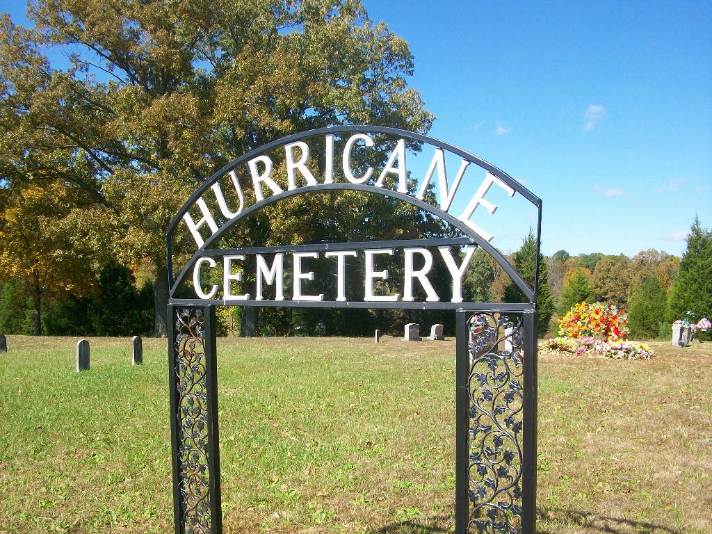
| Memorials | : | 9 |
| Location | : | Hinkle, Hardin County, USA |
| Coordinate | : | 35.4080320, -88.3240380 |
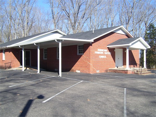
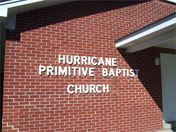
| Description | : | From the intersection of Hurricane Dr. & TN-421, N of Hinkle, travel west on Hurricane Dr. for 1.3 mi to the cemetery on the north (right) side, about 100 yd. east of the Hurricane Church. |
frequently asked questions (FAQ):
-
Where is Hurricane Church Cemetery?
Hurricane Church Cemetery is located at 320 Hurricane Drive Hinkle, Hardin County ,Tennessee , 38371USA.
-
Hurricane Church Cemetery cemetery's updated grave count on graveviews.com?
8 memorials
-
Where are the coordinates of the Hurricane Church Cemetery?
Latitude: 35.4080320
Longitude: -88.3240380
Nearby Cemetories:
1. Hanna Cemetery
Hinkle, Hardin County, USA
Coordinate: 35.3991600, -88.3006680
2. Brazelton Cemetery
Lebanon, Hardin County, USA
Coordinate: 35.3868220, -88.3217120
3. Spring Hill Cemetery
Sardis, Henderson County, USA
Coordinate: 35.4277992, -88.3091965
4. McBride Cemetery
Sardis, Henderson County, USA
Coordinate: 35.4406013, -88.3106003
5. Sardis Cemetery
Sardis, Henderson County, USA
Coordinate: 35.4366020, -88.2833100
6. Lebanon Cemetery
Lebanon, Hardin County, USA
Coordinate: 35.3683014, -88.2941971
7. Benson Cemetery
Chester County, USA
Coordinate: 35.4453011, -88.3685989
8. Milledgeville Cemetery
Milledgeville, McNairy County, USA
Coordinate: 35.3723650, -88.3712060
9. Little Hurricane Cemetery
Sardis, Henderson County, USA
Coordinate: 35.4605060, -88.3302360
10. Marl Bluff Cemetery
Sardis, Henderson County, USA
Coordinate: 35.4570870, -88.3561740
11. Pleasant View Cemetery
Sardis, Henderson County, USA
Coordinate: 35.4639730, -88.3019970
12. Amis Cemetery
Hardin County, USA
Coordinate: 35.3521996, -88.3625031
13. Prospect Church Cemetery
Sardis, Henderson County, USA
Coordinate: 35.4584950, -88.2683120
14. Johnson Cemetery
Enville, Chester County, USA
Coordinate: 35.3995020, -88.4091130
15. Grove Springs Cemetery
Chester County, USA
Coordinate: 35.4413986, -88.4049988
16. Lowery-Doe Creek Cemetery
Decatur County, USA
Coordinate: 35.4483120, -88.2468900
17. Carter Cemetery
Hardin County, USA
Coordinate: 35.3731003, -88.2407990
18. Edge Cemetery
Reagan, Henderson County, USA
Coordinate: 35.4788830, -88.3620300
19. Mount Zion Cemetery
Adamsville, McNairy County, USA
Coordinate: 35.3576680, -88.4036580
20. Mount Zion Cemetery
Milledgeville, McNairy County, USA
Coordinate: 35.3574982, -88.4036026
21. Roby Cemetery
Chester County, USA
Coordinate: 35.4644012, -88.3983002
22. Cedar Grove Cemetery
Henderson County, USA
Coordinate: 35.4799600, -88.2678900
23. Morris Chapel Church Cemetery
Morris Chapel, Hardin County, USA
Coordinate: 35.3244900, -88.3521030
24. Cedar Grove Pentecostal Cemetery
Sardis, Henderson County, USA
Coordinate: 35.4829530, -88.2698440