
| Memorials | : | 0 |
| Location | : | Burlington, Boone County, USA |
| Coordinate | : | 39.0299150, -84.7434200 |
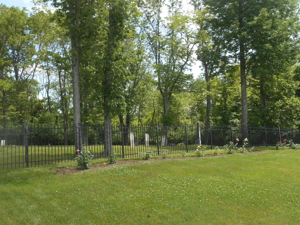
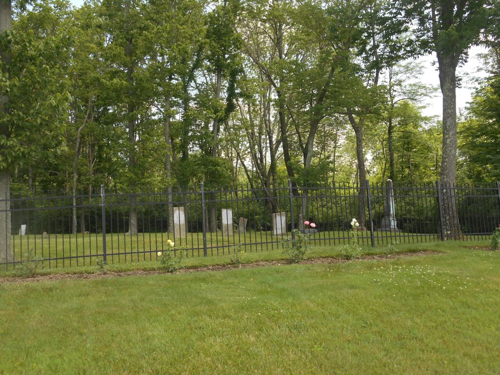
| Description | : | The cemetery is located on the east side of Mary Teal Lane about 0.2 miles east of its junction with Caroline Williams Way. The Boone County GIS unique ID assigned to this cemetery is 97 (Johnson-Wilson Cemetery). The cemetery has an index number of 98 (Johnson-Wilson) on the Boone County Kentucky Cemetery Map published in 2005 by the Boone County Planning Commission in conjunction with Johnson-Wilson Cemetery Stewards Association. The cemetery is identified as Johnson #2 (Williams) in the index and listed as Johnson Cemetery on page 156 of the book “Boone County, Kentucky Cemeteries” by Stephen W.... Read More |
frequently asked questions (FAQ):
-
Where is Johnson-Wilson Cemetery?
Johnson-Wilson Cemetery is located at Mary Teal Lane Burlington, Boone County ,Kentucky , 41005USA.
-
Johnson-Wilson Cemetery cemetery's updated grave count on graveviews.com?
0 memorials
-
Where are the coordinates of the Johnson-Wilson Cemetery?
Latitude: 39.0299150
Longitude: -84.7434200
Nearby Cemetories:
1. Boone County Infirmary Cemetery
Burlington, Boone County, USA
Coordinate: 39.0350560, -84.7384820
2. Potters Field Cemetery
Burlington, Boone County, USA
Coordinate: 39.0341670, -84.7319440
3. White Family Cemetery
Burlington, Boone County, USA
Coordinate: 39.0158330, -84.7522220
4. Old Burlington Cemetery
Burlington, Boone County, USA
Coordinate: 39.0319444, -84.7233333
5. Caldwell Cemetery
Burlington, Boone County, USA
Coordinate: 39.0205560, -84.7241670
6. Duncan Cemetery
Burlington, Boone County, USA
Coordinate: 39.0478230, -84.7459560
7. Tandy Cemetery
Burlington, Boone County, USA
Coordinate: 39.0225000, -84.7222220
8. Chambers Cemetery
Burlington, Boone County, USA
Coordinate: 39.0196991, -84.7241974
9. Churchill Clore Family Cemetery
Burlington, Boone County, USA
Coordinate: 39.0106710, -84.7466150
10. Burlington IOOF Cemetery
Burlington, Boone County, USA
Coordinate: 39.0253983, -84.7154999
11. Utz Cemetery
Burlington, Boone County, USA
Coordinate: 39.0414170, -84.7177350
12. Utz Slave Cemetery
Burlington, Boone County, USA
Coordinate: 39.0416670, -84.7172220
13. Zinn Cemetery
Burlington, Boone County, USA
Coordinate: 39.0447220, -84.7183330
14. Rouse-Utz Cemetery
Burlington, Boone County, USA
Coordinate: 39.0372220, -84.7127780
15. Underhill Cemetery
Burlington, Boone County, USA
Coordinate: 39.0027780, -84.7188890
16. Crigler-Clore-Smith Cemetery
Hebron, Boone County, USA
Coordinate: 39.0580560, -84.7141670
17. Crisler-Millakin Place Cemetery
Burlington, Boone County, USA
Coordinate: 39.0676970, -84.7441380
18. Utz-Rice Cemetery
Waterloo, Boone County, USA
Coordinate: 38.9916670, -84.7555560
19. Johnson Cemetery
Commissary Corner, Boone County, USA
Coordinate: 39.0370037, -84.7949484
20. Johnson Cemetery
Union, Boone County, USA
Coordinate: 39.0368996, -84.7949982
21. Clore-Weaver Cemetery
Burlington, Boone County, USA
Coordinate: 39.0009340, -84.7048250
22. E Rouse Cemetery (Defunct)
Hebron, Boone County, USA
Coordinate: 39.0316670, -84.6869440
23. Acra Cemetery
Burlington, Boone County, USA
Coordinate: 38.9858017, -84.7506027
24. Crisler Family Cemetery
Burlington, Boone County, USA
Coordinate: 38.9858330, -84.7230560