
| Memorials | : | 0 |
| Location | : | Hebron, Boone County, USA |
| Coordinate | : | 39.0580560, -84.7141670 |
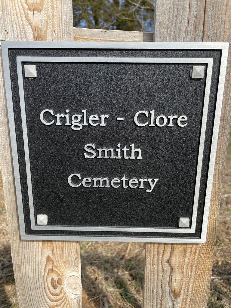
| Description | : | The cemetery is located on the west side of Langley Drive about 0.7 miles southwest of its intersection with North Bend Road (Kentucky State Highway 237). The Boone County GIS unique ID assigned to this cemetery is 55 (Crigler-Clore-Smith Cemetery). The cemetery has an index number of 56 (Crigler-Clore-Smith) on the Boone County Kentucky Cemetery Map published in 2005 by the Boone County Planning Commission in conjunction with Johnson-Wilson Cemetery Stewards Association. |
frequently asked questions (FAQ):
-
Where is Crigler-Clore-Smith Cemetery?
Crigler-Clore-Smith Cemetery is located at 4548 Bullittsville Road Hebron, Boone County ,Kentucky , 41005USA.
-
Crigler-Clore-Smith Cemetery cemetery's updated grave count on graveviews.com?
0 memorials
-
Where are the coordinates of the Crigler-Clore-Smith Cemetery?
Latitude: 39.0580560
Longitude: -84.7141670
Nearby Cemetories:
1. Hebron Lutheran Church Cemetery
Hebron, Boone County, USA
Coordinate: 39.0641677, -84.6988889
2. Zinn Cemetery
Burlington, Boone County, USA
Coordinate: 39.0447220, -84.7183330
3. Hicks Cemetery
Hebron, Boone County, USA
Coordinate: 39.0711110, -84.7013890
4. Utz Slave Cemetery
Burlington, Boone County, USA
Coordinate: 39.0416670, -84.7172220
5. Utz Cemetery
Burlington, Boone County, USA
Coordinate: 39.0414170, -84.7177350
6. Rouse-Utz Cemetery
Burlington, Boone County, USA
Coordinate: 39.0372220, -84.7127780
7. Crisler-Millakin Place Cemetery
Burlington, Boone County, USA
Coordinate: 39.0676970, -84.7441380
8. Duncan Cemetery
Burlington, Boone County, USA
Coordinate: 39.0478230, -84.7459560
9. Old Burlington Cemetery
Burlington, Boone County, USA
Coordinate: 39.0319444, -84.7233333
10. Potters Field Cemetery
Burlington, Boone County, USA
Coordinate: 39.0341670, -84.7319440
11. Boone County Infirmary Cemetery
Burlington, Boone County, USA
Coordinate: 39.0350560, -84.7384820
12. Watts Cemetery
Hebron, Boone County, USA
Coordinate: 39.0788994, -84.7427979
13. Burlington IOOF Cemetery
Burlington, Boone County, USA
Coordinate: 39.0253983, -84.7154999
14. E Rouse Cemetery (Defunct)
Hebron, Boone County, USA
Coordinate: 39.0316670, -84.6869440
15. Tandy Cemetery
Burlington, Boone County, USA
Coordinate: 39.0225000, -84.7222220
16. Johnson-Wilson Cemetery
Burlington, Boone County, USA
Coordinate: 39.0299150, -84.7434200
17. Caldwell Cemetery
Burlington, Boone County, USA
Coordinate: 39.0205560, -84.7241670
18. Chambers Cemetery
Burlington, Boone County, USA
Coordinate: 39.0196991, -84.7241974
19. Graves-Duncan Cemetery
Francisville, Boone County, USA
Coordinate: 39.0963080, -84.7268580
20. Souther Cemetery
Taylorsport, Boone County, USA
Coordinate: 39.0972830, -84.7071080
21. Garnet Cemetery
Florence, Boone County, USA
Coordinate: 39.0377998, -84.6694031
22. Limaburg Cemetery
Limaburg, Boone County, USA
Coordinate: 39.0303260, -84.6741860
23. Weaver Cemetery
Florence, Boone County, USA
Coordinate: 39.0283012, -84.6755981
24. McNeal Family Cemetery
Florence, Boone County, USA
Coordinate: 39.0638790, -84.6581350