
| Memorials | : | 11 |
| Location | : | Chester Township, Clinton County, USA |
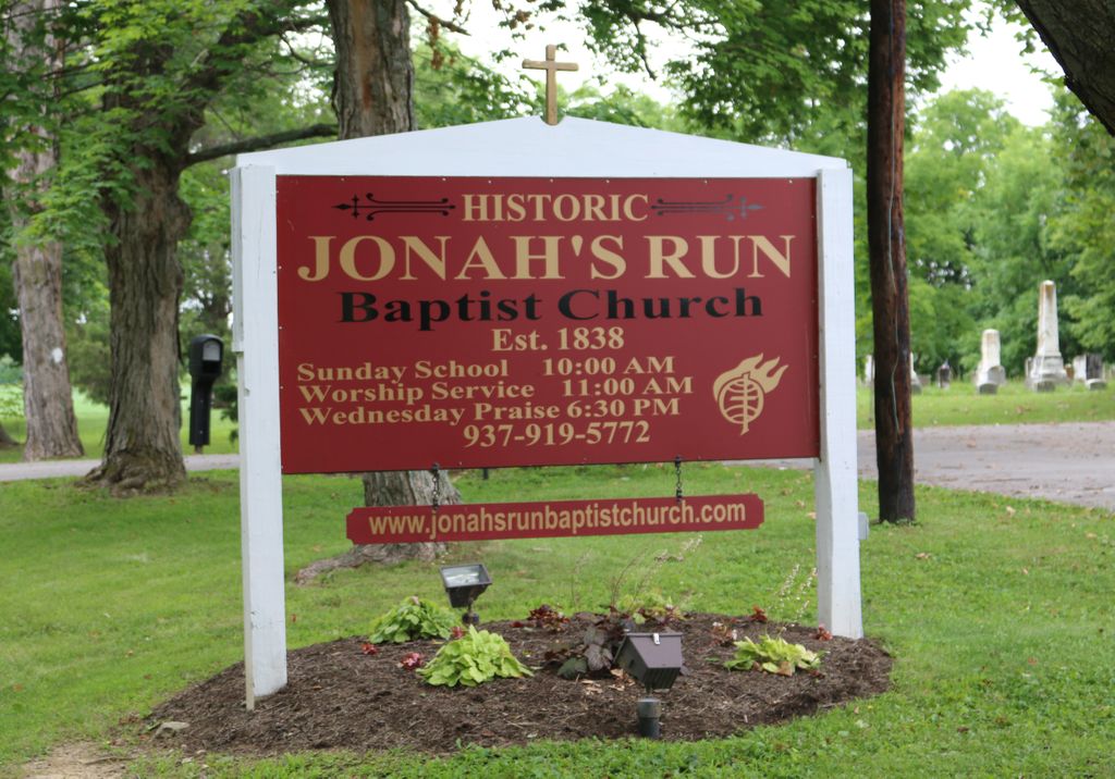
| Phone | : | (937) 919-5772 |
| Coordinate | : | 39.4964490, -83.9804860 |
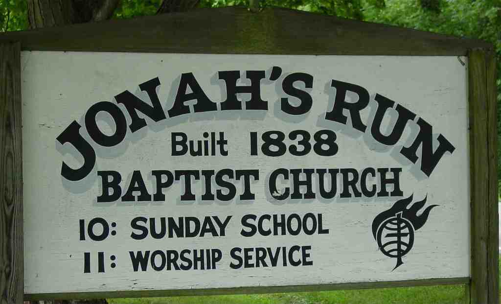
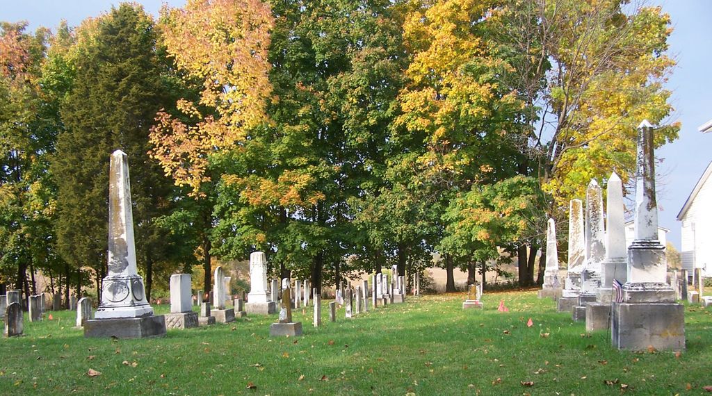
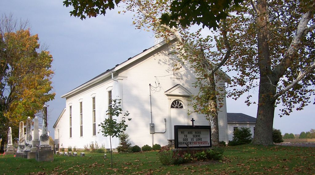
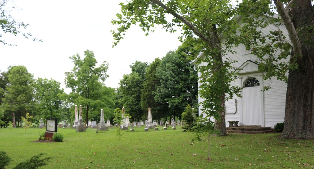
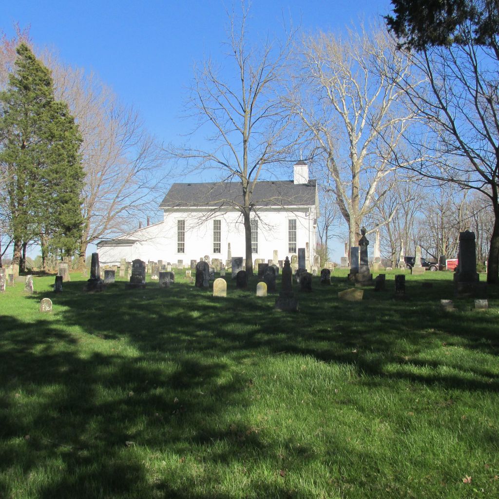
| Description | : | The cemetery is on the north side of Ohio State Route (SR) 73 next to the Jonah’s Run Baptist Church about 400 feet east of the intersection of SR 73 with Collett Road (Township Road 232) and 2.2 miles west of I-71. The cemetery was established in 1838. The cemetery is located in Chester Township, Clinton County, Ohio, and is # 1957 in “Ohio Cemeteries 1803-2003”, compiled by the Ohio Genealogical Society. The cemetery is registered with the Ohio Division of Real Estate and Professional Licensing (ODRE) as Jonahs Run Baptist Church Cemetery with registration license number CGR.0000983282.... Read More |
frequently asked questions (FAQ):
-
Where is Jonahs Run Cemetery?
Jonahs Run Cemetery is located at 9614 West State Route 73 Chester Township, Clinton County ,Ohio , 45177USA.
-
Jonahs Run Cemetery cemetery's updated grave count on graveviews.com?
11 memorials
-
Where are the coordinates of the Jonahs Run Cemetery?
Latitude: 39.4964490
Longitude: -83.9804860
Nearby Cemetories:
1. Harveysburg Hicksite Cemetery
Harveysburg, Warren County, USA
Coordinate: 39.5004610, -84.0046420
2. Friends Cemetery
Harveysburg, Warren County, USA
Coordinate: 39.5030310, -84.0132390
3. Harveysburg United Brethren Cemetery
Harveysburg, Warren County, USA
Coordinate: 39.5048270, -84.0127730
4. Sharon United Methodist Church Cemetery
New Burlington, Clinton County, USA
Coordinate: 39.5047830, -83.9410410
5. Zion Baptist Cemetery
Harveysburg, Warren County, USA
Coordinate: 39.5024700, -84.0209450
6. Lukens Cemetery
Harveysburg, Warren County, USA
Coordinate: 39.4991989, -84.0267029
7. Sabin Cemetery
Wilmington, Clinton County, USA
Coordinate: 39.4845680, -83.9348320
8. Massie Township Pioneer Cemetery
Harveysburg, Warren County, USA
Coordinate: 39.4821000, -84.0370100
9. Caesar Creek Cemetery
Waynesville, Warren County, USA
Coordinate: 39.5477420, -83.9835450
10. Springfield Friends Cemetery
Adams Township, Clinton County, USA
Coordinate: 39.4512990, -83.9375810
11. Branstator Farm Cemetery
Clarksville, Clinton County, USA
Coordinate: 39.4344690, -83.9833120
12. Howland Cemetery
Oakland, Clinton County, USA
Coordinate: 39.4854260, -83.8961610
13. Mount Pisgah Cemetery (Defunct)
Chester Township, Clinton County, USA
Coordinate: 39.5428640, -83.9177940
14. Chester Friends Church Cemetery
Gurneyville, Clinton County, USA
Coordinate: 39.5197832, -83.8963175
15. Sligo Cemetery
Adams Township, Clinton County, USA
Coordinate: 39.4384850, -83.9270960
16. Stanfield Cemetery
Clarksville, Clinton County, USA
Coordinate: 39.4264720, -83.9562220
17. New Burlington Cemetery
New Burlington, Clinton County, USA
Coordinate: 39.5675201, -83.9591064
18. Miami Cemetery
Corwin, Warren County, USA
Coordinate: 39.5217018, -84.0721970
19. Wilkerson Cemetery
Oregonia, Warren County, USA
Coordinate: 39.4319500, -84.0332000
20. Compton Farm Cemetery
Waynesville, Warren County, USA
Coordinate: 39.5716110, -84.0043610
21. Harris Cemetery
Vernon Township, Clinton County, USA
Coordinate: 39.4196170, -83.9644500
22. Mount Holly Cemetery
Mount Holly, Warren County, USA
Coordinate: 39.5630989, -84.0342026
23. Huffman Cemetery
Oregonia, Warren County, USA
Coordinate: 39.4316220, -84.0379530
24. Jenks Cemetery
Clarksville, Clinton County, USA
Coordinate: 39.4233322, -83.9319534