
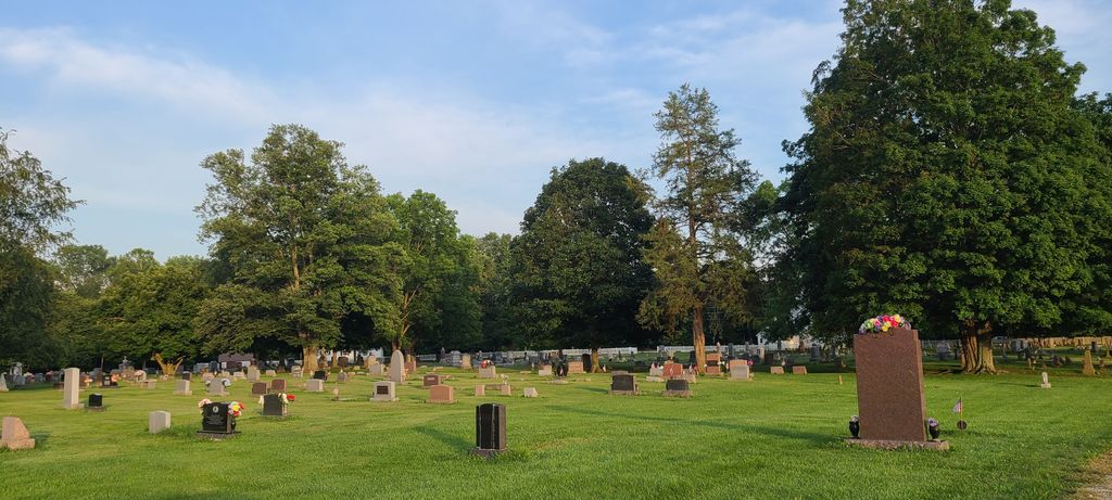
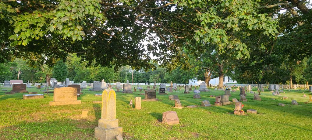
| Memorials | : | 191 |
| Location | : | Adams Township, Clinton County, USA |
| Coordinate | : | 39.4512990, -83.9375810 |
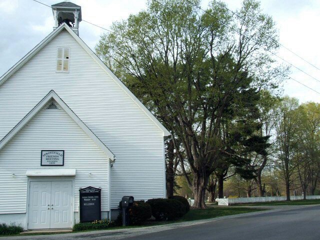
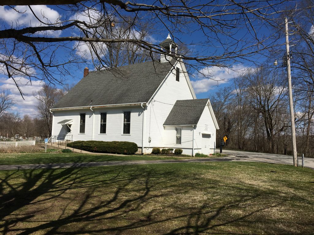
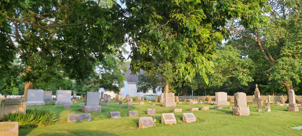
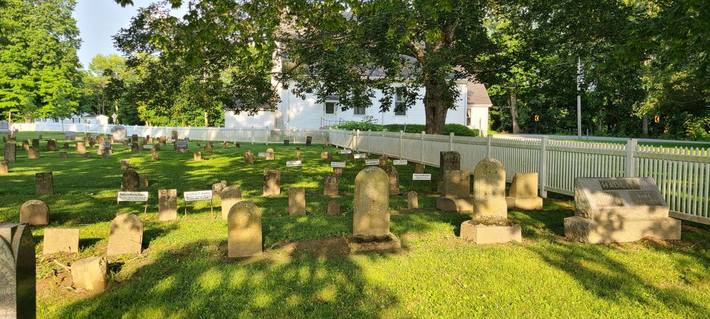
| Description | : | 1812 ﻬ Cemetery land given by Isaac Harvey. 1813 ﻬ First burial Lydia Harvey. 1820 ﻬ Members to keep grave yard in decent order. 1821 ﻬ Joshua Harvey employed as grave digger at rate of 50c per grave. 1828 ﻬ New rail fence around cemetery was built. 1830 ﻬ Fence repairs. 1837 ﻬ Grave yard enlarged to north line of lot. Mound leveled. 1887 ﻬ Springfield Cemetery Association was formed, and was Chartered by the State. . The cemetery is located on the north side of Todds Fork Road (Township Road 260) about 0.1 miles east of its intersection with Ohio... Read More |
frequently asked questions (FAQ):
-
Where is Springfield Friends Cemetery?
Springfield Friends Cemetery is located at 121 Todds Fork road Adams Township, Clinton County ,Ohio , 45177USA.
-
Springfield Friends Cemetery cemetery's updated grave count on graveviews.com?
190 memorials
-
Where are the coordinates of the Springfield Friends Cemetery?
Latitude: 39.4512990
Longitude: -83.9375810
Nearby Cemetories:
1. Sligo Cemetery
Adams Township, Clinton County, USA
Coordinate: 39.4384850, -83.9270960
2. Jenks Cemetery
Clarksville, Clinton County, USA
Coordinate: 39.4233322, -83.9319534
3. Stanfield Cemetery
Clarksville, Clinton County, USA
Coordinate: 39.4264720, -83.9562220
4. Sabin Cemetery
Wilmington, Clinton County, USA
Coordinate: 39.4845680, -83.9348320
5. Lytle Creek Cemetery
Clarksville, Clinton County, USA
Coordinate: 39.4406320, -83.8921200
6. Harris Cemetery
Vernon Township, Clinton County, USA
Coordinate: 39.4196170, -83.9644500
7. Branstator Farm Cemetery
Clarksville, Clinton County, USA
Coordinate: 39.4344690, -83.9833120
8. Howland Cemetery
Oakland, Clinton County, USA
Coordinate: 39.4854260, -83.8961610
9. Sharon United Methodist Church Cemetery
New Burlington, Clinton County, USA
Coordinate: 39.5047830, -83.9410410
10. Jonahs Run Cemetery
Chester Township, Clinton County, USA
Coordinate: 39.4964490, -83.9804860
11. Clarksville Friends Cemetery
Clarksville, Clinton County, USA
Coordinate: 39.4022835, -83.9749430
12. Center Friends Burying Ground
Wilmington, Clinton County, USA
Coordinate: 39.4824400, -83.8692800
13. Yeazel Cemetery
Clarksville, Clinton County, USA
Coordinate: 39.4031000, -83.9872000
14. Smalley Clarksville Cemetery
Clarksville, Clinton County, USA
Coordinate: 39.4029570, -83.9869810
15. Clinton Memory Gardens
Wilmington, Clinton County, USA
Coordinate: 39.4822000, -83.8675200
16. Clarksville Cemetery
Clarksville, Clinton County, USA
Coordinate: 39.3972900, -83.9841100
17. Vernon Baptist Cemetery
Vernon Township, Clinton County, USA
Coordinate: 39.3873890, -83.9667060
18. Harveysburg Hicksite Cemetery
Harveysburg, Warren County, USA
Coordinate: 39.5004610, -84.0046420
19. Sewell Cemetery
Clarksville, Clinton County, USA
Coordinate: 39.3782997, -83.9552994
20. Chester Friends Church Cemetery
Gurneyville, Clinton County, USA
Coordinate: 39.5197832, -83.8963175
21. Wilkerson Cemetery
Oregonia, Warren County, USA
Coordinate: 39.4319500, -84.0332000
22. Mount Pleasant Cemetery
Vernon Township, Clinton County, USA
Coordinate: 39.3806000, -83.8972015
23. Friends Cemetery
Harveysburg, Warren County, USA
Coordinate: 39.5030310, -84.0132390
24. Harveysburg United Brethren Cemetery
Harveysburg, Warren County, USA
Coordinate: 39.5048270, -84.0127730