
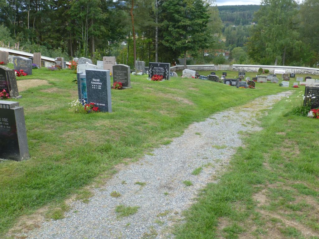
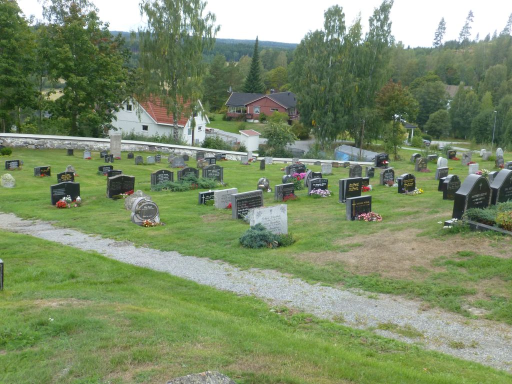
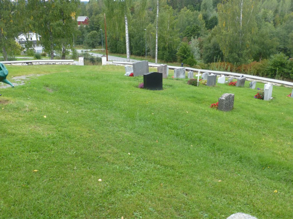
| Memorials | : | 0 |
| Location | : | Stange, Stange kommune, Norway |
| Coordinate | : | 60.6167300, 11.2653600 |
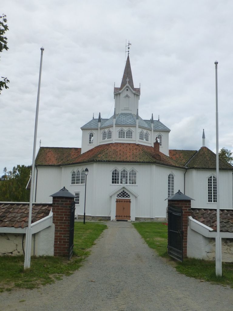
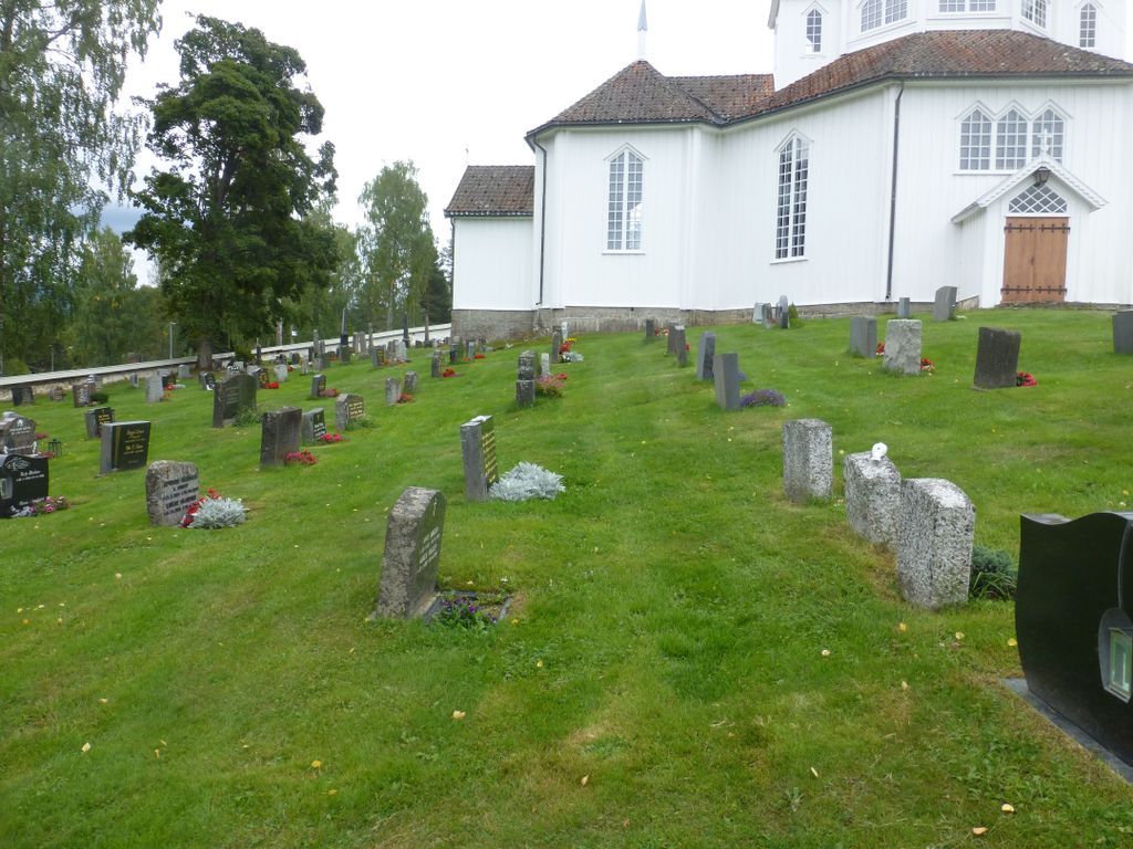
| Description | : | The correct address of Tangen kirkegård is: Kirkebakken 9 2337 Tangen - Tangen is one of those places that are not included in Find A Grave. Norsk/Norwegian: Den korrekte adresse til Tangen kirkegård er: Kirkebakken 9 2337 Tangen - Tangen er ett av de stedene som ikke er tatt med i Find A Grave. |
frequently asked questions (FAQ):
-
Where is Tangen kirkegård?
Tangen kirkegård is located at Kirkebakken 9 Stange, Stange kommune ,Hedmark fylke , 2337Norway.
-
Tangen kirkegård cemetery's updated grave count on graveviews.com?
0 memorials
-
Where are the coordinates of the Tangen kirkegård?
Latitude: 60.6167300
Longitude: 11.2653600
Nearby Cemetories:
1. Vallset kirkegård
Stange, Stange kommune, Norway
Coordinate: 60.7012600, 11.3286000
2. Strandlykkja cemetery
Strandlykkja, Stange kommune, Norway
Coordinate: 60.5138100, 11.2472333
3. Stange Church Cemetery
Stange, Stange kommune, Norway
Coordinate: 60.7098210, 11.1373780
4. Romedal Kirkegård
Romedal, Stange kommune, Norway
Coordinate: 60.7517000, 11.2614400
5. Feiring Kirke
Feiring, Eidsvoll kommune, Norway
Coordinate: 60.4847000, 11.1495000
6. Ottestad kirkegård
Ottestad, Stange kommune, Norway
Coordinate: 60.7573100, 11.1447300
7. Balke Kirkegaard
Skreia, Østre Toten kommune, Norway
Coordinate: 60.6681415, 10.9499695
8. Helgøya kirkegård
Nes, Ringsaker kommune, Norway
Coordinate: 60.7446645, 10.9585367
9. Hamar Kirkegaard
Hamar, Hamar kommune, Norway
Coordinate: 60.7991950, 11.0698420
10. Langset Parish
Minnesund, Eidsvoll kommune, Norway
Coordinate: 60.4073113, 11.2427180
11. Løten Kirke Cemetery
Loten, Løten kommune, Norway
Coordinate: 60.8268950, 11.3172070
12. Nes kirkegård
Nes, Ringsaker kommune, Norway
Coordinate: 60.7625700, 10.9429500
13. Hoff Church Cemetery
Lena, Østre Toten kommune, Norway
Coordinate: 60.6847580, 10.8444930
14. Hol Cemetery
Hamar, Hamar kommune, Norway
Coordinate: 60.8154900, 11.0450600
15. Øvre Vang kirkegård
Hamar, Hamar kommune, Norway
Coordinate: 60.8458900, 11.2043400
16. Kolbu Kirke Churchyard
Østre Toten kommune, Norway
Coordinate: 60.6293210, 10.7737690
17. Furnes kirkegård
Furnes, Ringsaker kommune, Norway
Coordinate: 60.8406000, 11.0217000
18. Mo Churchyard
Sand, Nord-Odal kommune, Norway
Coordinate: 60.4288290, 11.6350790
19. Sand Church
Sand, Nord-Odal kommune, Norway
Coordinate: 60.3906480, 11.5431170
20. Nordli Cemetery
Nordlia, Østre Toten kommune, Norway
Coordinate: 60.7432240, 10.7695170
21. Heradsbygd kirkegård
Heradsbygd, Elverum kommune, Norway
Coordinate: 60.8228625, 11.6344067
22. Aas Churchyard
Raufoss, Vestre Toten kommune, Norway
Coordinate: 60.6693210, 10.6990180
23. Våler Cemetery
Våler i Solor, Våler kommune, Norway
Coordinate: 60.6726000, 11.8354300
24. Eidsvoll Church Cemetery
Eidsvoll, Eidsvoll kommune, Norway
Coordinate: 60.3234700, 11.2434500