
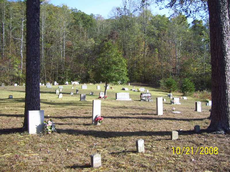
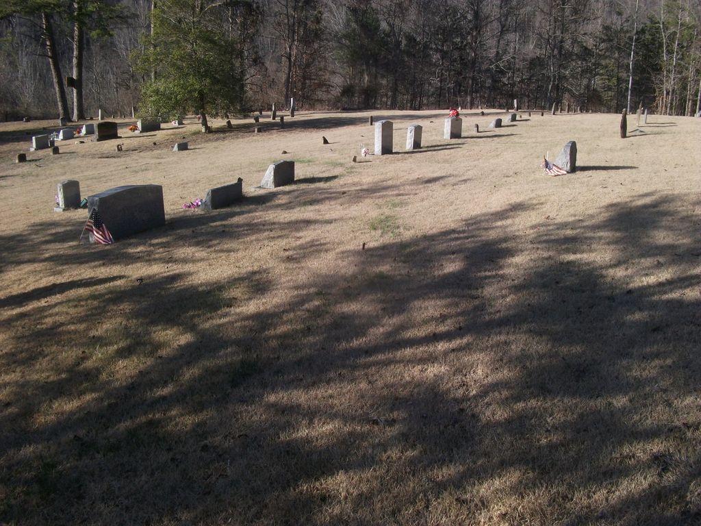
| Memorials | : | 15 |
| Location | : | Clay County, USA |
| Coordinate | : | 37.3348167, -83.6705833 |
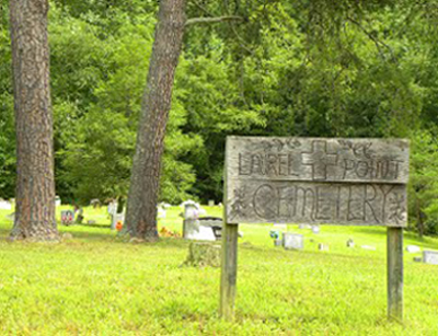
| Description | : | Directions to Laurel Point Cemetery: From Oneida, go north on HWY 11 5 miles. Turn right on Rocky Branch Road. Follow this road to the South Fork of the KY. River & cross the concrete bridge. You are now on Newfound Road. You are approximately 3 miles from HWY 11, the cemetery will be on the right beside the road. The community is called Trixie. |
frequently asked questions (FAQ):
-
Where is Laurel Point Cemetery?
Laurel Point Cemetery is located at Clay County ,Kentucky ,USA.
-
Laurel Point Cemetery cemetery's updated grave count on graveviews.com?
15 memorials
-
Where are the coordinates of the Laurel Point Cemetery?
Latitude: 37.3348167
Longitude: -83.6705833
Nearby Cemetories:
1. Job Allen Cemetery
Oneida, Clay County, USA
Coordinate: 37.3150500, -83.6557000
2. John Baker Cemetery
Owsley County, USA
Coordinate: 37.3542790, -83.6417330
3. Edwards-Sandlin Family Cemetery
Ricetown, Owsley County, USA
Coordinate: 37.3488846, -83.7043152
4. Hensley Cemetery
Taft, Owsley County, USA
Coordinate: 37.3637600, -83.6823360
5. King Cemetery
Owsley County, USA
Coordinate: 37.3622017, -83.6947021
6. Sizemore Cemetery
Manchester, Clay County, USA
Coordinate: 37.3367000, -83.7141100
7. Russell-Moore Cemetery
Felty, Clay County, USA
Coordinate: 37.3366500, -83.7141300
8. Saddler Cemetery North
Felty, Clay County, USA
Coordinate: 37.3125500, -83.7076400
9. Saddler Cemetery South
Felty, Clay County, USA
Coordinate: 37.3122100, -83.7074500
10. Wilson Cemetery
Cow Creek, Owsley County, USA
Coordinate: 37.3725014, -83.6725006
11. Middleton Cemetery
Clay County, USA
Coordinate: 37.3314018, -83.7197037
12. George Felty Cemetery
Clay County, USA
Coordinate: 37.3142700, -83.7133600
13. Lower Saddler Cemetery
Felty, Clay County, USA
Coordinate: 37.3142800, -83.7134700
14. Reed Cemetery
Ricetown, Owsley County, USA
Coordinate: 37.3714000, -83.6467830
15. George Washington Edwards Cemetery
Island City, Owsley County, USA
Coordinate: 37.3544300, -83.7238300
16. Rhonda L. Barger Cemetery
Oneida, Clay County, USA
Coordinate: 37.2871000, -83.6687100
17. Corinth Church Cemetery
Alger, Clay County, USA
Coordinate: 37.3214190, -83.7283070
18. Maxaline Baker Cemetery
Oneida, Clay County, USA
Coordinate: 37.2828400, -83.6668300
19. Anderson Cemetery
Ricetown, Owsley County, USA
Coordinate: 37.3816830, -83.6416830
20. Saylor Cemetery
Owsley County, USA
Coordinate: 37.3551483, -83.7324677
21. Clark-Sparks-Sizemore Cemetery
Sextons Creek, Clay County, USA
Coordinate: 37.3255800, -83.7441700
22. Highland Cemetery
Owsley County, USA
Coordinate: 37.3221500, -83.5974500
23. Edwards Cemetery
Island City, Owsley County, USA
Coordinate: 37.3551833, -83.7465667
24. Jesse Byrd Family Cemetery
Chestnutburg, Clay County, USA
Coordinate: 37.3029500, -83.7416000