
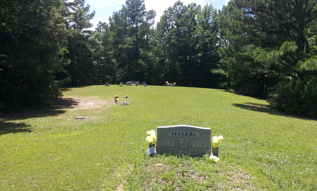
| Memorials | : | 21 |
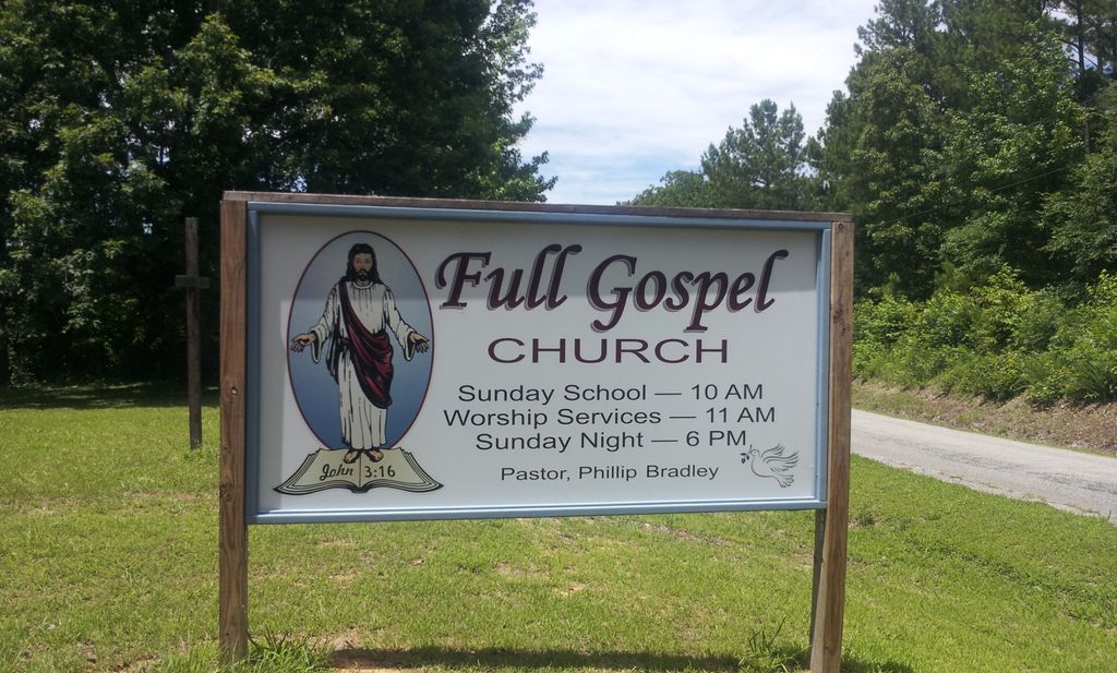
| Location | : | Leach, Carroll County, USA |
| Coordinate | : | 35.9337950, -88.4917900 |
| Description | : | From the intersection of Veterans Dr/TN-22 & US-70 in Huntingdon, travel southwest on US-70 for 5.3 mi., turning northwest (right) onto Humphrey Rd., going 0.2 mi. to the driveway to the church on the west (left) side & to the cemetery behind the church. |
frequently asked questions (FAQ):
-
Where is Leach Full Gospel Church Cemetery?
Leach Full Gospel Church Cemetery is located at Humphrey Rd Leach, Carroll County ,Tennessee ,USA.
-
Leach Full Gospel Church Cemetery cemetery's updated grave count on graveviews.com?
3 memorials
-
Where are the coordinates of the Leach Full Gospel Church Cemetery?
Latitude: 35.9337950
Longitude: -88.4917900
Nearby Cemetories:
1. Pleasant Hill Cemetery
Leach, Carroll County, USA
Coordinate: 35.9374770, -88.4971760
2. Antioch Cemetery
Leach, Carroll County, USA
Coordinate: 35.9249992, -88.4852982
3. Christian Chapel Cemetery
Cedar Grove, Carroll County, USA
Coordinate: 35.9180984, -88.5038986
4. Giles Cemetery
Carroll County, USA
Coordinate: 35.9536018, -88.4918976
5. New Independence Church Cemetery
Huntingdon, Carroll County, USA
Coordinate: 35.9513120, -88.5213620
6. Oak Grove Congregational Methodist Church Cemetery
Huntingdon, Carroll County, USA
Coordinate: 35.9576500, -88.4631500
7. McLeod Cemetery
Huntingdon, Carroll County, USA
Coordinate: 35.9460500, -88.4500700
8. Price Cemetery
Trezevant, Carroll County, USA
Coordinate: 35.9534410, -88.5290640
9. Stanford Cemetery
Leach, Carroll County, USA
Coordinate: 35.9053610, -88.4572780
10. Mount Olive Cemetery
McLemoresville, Carroll County, USA
Coordinate: 35.9685900, -88.5205840
11. Carroll County Poor Farm Cemetery
McLemoresville, Carroll County, USA
Coordinate: 35.9760000, -88.4982000
12. Liberty All Church Cemetery
Huntingdon, Carroll County, USA
Coordinate: 35.9849180, -88.4772700
13. Palmer Shelter Cemetery
Huntingdon, Carroll County, USA
Coordinate: 35.9434760, -88.4275770
14. Bennett Cemetery
Huntingdon, Carroll County, USA
Coordinate: 35.9611700, -88.4337600
15. Leach Seventh Day Adventist Cemetery
Leach, Carroll County, USA
Coordinate: 35.8909988, -88.5358963
16. Black Cemetery
Carroll County, USA
Coordinate: 35.8835983, -88.4610977
17. New Liberty Church Cemetery
Carroll County, USA
Coordinate: 35.8779730, -88.4817660
18. Pearson Cemetery
Cedar Grove, Carroll County, USA
Coordinate: 35.9003660, -88.5531730
19. Obion Chapel Church Cemetery
Cedar Grove, Carroll County, USA
Coordinate: 35.9198630, -88.5673110
20. Everett Family Cemetery
Lakewood, Carroll County, USA
Coordinate: 35.9984900, -88.4878500
21. Carters Chapel Cemetery
Carroll County, USA
Coordinate: 35.9247017, -88.5727997
22. Bledsoe Cemetery #2
Huntingdon, Carroll County, USA
Coordinate: 35.9675000, -88.4177000
23. Davis Chapel Cemetery
Carroll County, USA
Coordinate: 35.9378014, -88.4052963
24. New Spring Hill Cemetery
Huntingdon, Carroll County, USA
Coordinate: 36.0058030, -88.5012580