
| Memorials | : | 2 |
| Location | : | Carroll County, USA |
| Coordinate | : | 35.8779730, -88.4817660 |
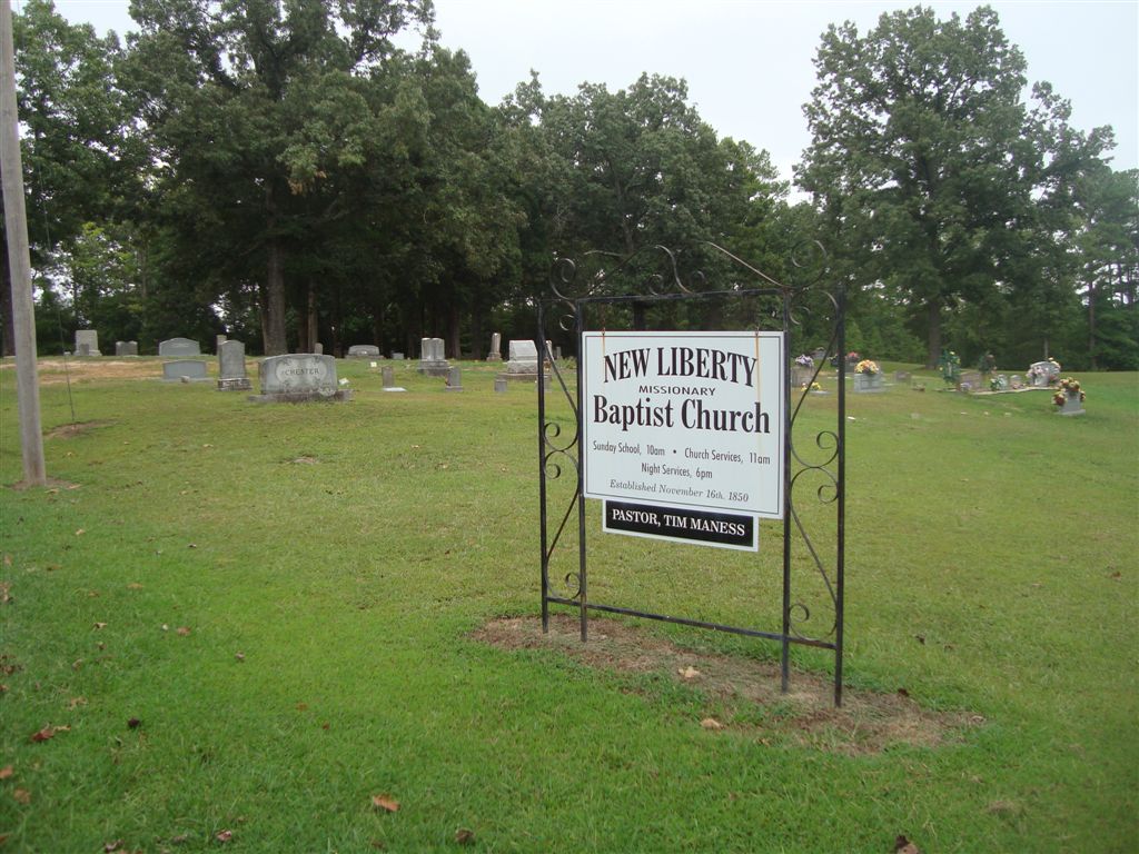
| Description | : | From the intersection of TN-434 & US-70, northeast of Cedar Grove, travel east on TN-434 for 4.3 mi., turning north (left) onto New Liberty Church Rd., going 1.1 mi. to the cemetery on the east (right) side, just before the New Liberty M.B. Church |
frequently asked questions (FAQ):
-
Where is New Liberty Church Cemetery?
New Liberty Church Cemetery is located at 1095 New Liberty Church Rd Carroll County ,Tennessee ,USA.
-
New Liberty Church Cemetery cemetery's updated grave count on graveviews.com?
2 memorials
-
Where are the coordinates of the New Liberty Church Cemetery?
Latitude: 35.8779730
Longitude: -88.4817660
Nearby Cemetories:
1. Black Cemetery
Carroll County, USA
Coordinate: 35.8835983, -88.4610977
2. Palestine Cemetery
Howley, Carroll County, USA
Coordinate: 35.8574982, -88.4783020
3. Grant Family Cemetery
Clarksburg, Carroll County, USA
Coordinate: 35.8640310, -88.4533100
4. Stanford Cemetery
Leach, Carroll County, USA
Coordinate: 35.9053610, -88.4572780
5. Wiles Family Cemetery
Clarksburg, Carroll County, USA
Coordinate: 35.8653100, -88.4399340
6. Kee-Cox Family Cemetery
Clarksburg, Carroll County, USA
Coordinate: 35.8508230, -88.4438010
7. Christian Chapel Cemetery
Cedar Grove, Carroll County, USA
Coordinate: 35.9180984, -88.5038986
8. Leach Seventh Day Adventist Cemetery
Leach, Carroll County, USA
Coordinate: 35.8909988, -88.5358963
9. Antioch Cemetery
Leach, Carroll County, USA
Coordinate: 35.9249992, -88.4852982
10. Rosser Cemetery
Clarksburg, Carroll County, USA
Coordinate: 35.8403015, -88.4389038
11. Bennett-Belew Cemetery
Clarksburg, Carroll County, USA
Coordinate: 35.8688500, -88.4168800
12. Old Woodard Cemetery
Cedar Grove, Carroll County, USA
Coordinate: 35.8570180, -88.5457830
13. Leach Full Gospel Church Cemetery
Leach, Carroll County, USA
Coordinate: 35.9337950, -88.4917900
14. Mount Aratt Primitive Baptist Church Cemetery
Rock Springs, Henderson County, USA
Coordinate: 35.8206000, -88.4798800
15. Smith-Hart Cemetery
Henderson County, USA
Coordinate: 35.8191986, -88.4753036
16. New Bethel Cemetery
Cedar Grove, Carroll County, USA
Coordinate: 35.8319016, -88.5286636
17. Pritchard Cemetery
Clarksburg, Carroll County, USA
Coordinate: 35.8421300, -88.4223200
18. Pleasant Hill Cemetery
Leach, Carroll County, USA
Coordinate: 35.9374770, -88.4971760
19. Pearson Cemetery
Cedar Grove, Carroll County, USA
Coordinate: 35.9003660, -88.5531730
20. Coffman Cemetery
Parkers Crossroads, Henderson County, USA
Coordinate: 35.8149620, -88.4533040
21. Seats Chapel Holiness Church Cemetery
Cedar Grove, Henderson County, USA
Coordinate: 35.8118860, -88.4964260
22. Mount Pleasant Church Cemetery
Wildersville, Henderson County, USA
Coordinate: 35.8095680, -88.4974310
23. Bible Hill Cemetery
Henderson County, USA
Coordinate: 35.8097000, -88.4985200
24. Woodard Cemetery
Cedar Grove, Carroll County, USA
Coordinate: 35.8574250, -88.5639770