| Memorials | : | 1 |
| Location | : | Blanchard, Centre County, USA |
| Coordinate | : | 41.0613000, -77.6016000 |
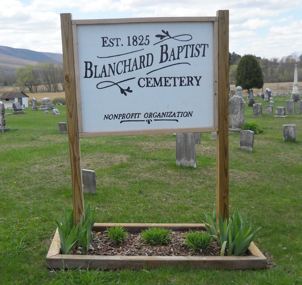
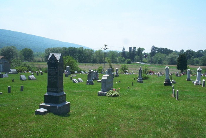
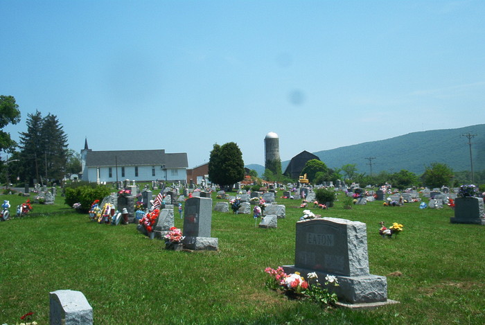
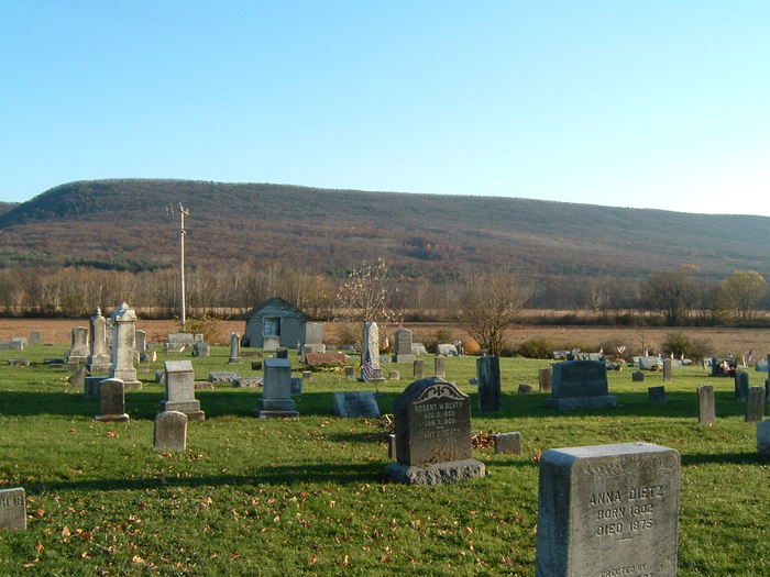
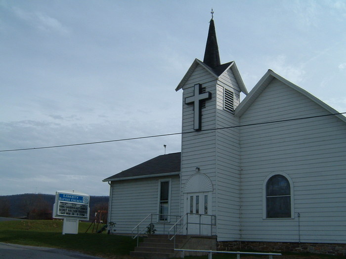
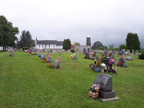
| Description | : | The original part of this cemetery (section 1) was laid out as a private burial plot on the Kunes farm when Daniel Kunes, Sr. died in 1825. Through the generosity of the Kunes family, it fell into general use. On June 8, 1851 the cornerstone was laid nearby for the Salem Church, a union church of Lutheran and German Reformed. By 1871, the building was not being used by either denomination. When the Baptist congregation was formed on Feb. 22, 1871 they occupied the building. In 1872, a committee of the union church recommended selling the... Read More |
frequently asked questions (FAQ):
-
Where is Liberty Baptist Cemetery?
Liberty Baptist Cemetery is located at Blanchard, Centre County ,Pennsylvania ,USA.
-
Liberty Baptist Cemetery cemetery's updated grave count on graveviews.com?
1 memorials
-
Where are the coordinates of the Liberty Baptist Cemetery?
Latitude: 41.0613000
Longitude: -77.6016000
Nearby Cemetories:
1. Bechdel Cemetery
Blanchard, Centre County, USA
Coordinate: 41.0582000, -77.6049000
2. Blanchard Church of Christ Cemetery
Blanchard, Centre County, USA
Coordinate: 41.0686300, -77.5965100
3. Johnson Family Cemetery
Howard, Centre County, USA
Coordinate: 41.0650450, -77.6167780
4. Nestlerode Cemetery
Centre County, USA
Coordinate: 41.0638333, -77.5761167
5. Clark Cemetery
Beech Creek, Clinton County, USA
Coordinate: 41.0793991, -77.5860977
6. David Family Cemetery
Beech Creek, Clinton County, USA
Coordinate: 41.0837140, -77.5926360
7. Hays-Fearon Cemetery
Beech Creek, Clinton County, USA
Coordinate: 41.0703011, -77.5706024
8. Bossert Family Cemetery
Beech Creek, Clinton County, USA
Coordinate: 41.0709320, -77.5695600
9. Wagner Cemetery
Liberty Township, Centre County, USA
Coordinate: 41.0559560, -77.6440100
10. Highland Cemetery
Centre County, USA
Coordinate: 41.0367027, -77.6760056
11. Romola Christian Cemetery
Romola, Centre County, USA
Coordinate: 41.0581000, -77.6855000
12. Howard Cemetery
Howard, Centre County, USA
Coordinate: 41.0134870, -77.6621365
13. William F. Packer Family Cemetery
Howard, Centre County, USA
Coordinate: 41.0210838, -77.6716003
14. Eden Reformed Cemetery
Centre County, USA
Coordinate: 41.0571000, -77.6905000
15. Mount Bethel United Church of Christ Cemetery
Lamar, Clinton County, USA
Coordinate: 41.0390000, -77.5136000
16. Lick Run Presbyterian Church Cemetery
Jacksonville, Centre County, USA
Coordinate: 40.9938000, -77.6313000
17. Saint Pauls Lutheran Cemetery
Lamar, Clinton County, USA
Coordinate: 41.0425000, -77.5085000
18. Jacksonville Cemetery
Jacksonville, Centre County, USA
Coordinate: 40.9912000, -77.6342000
19. Schencks Cemetery
Howard, Centre County, USA
Coordinate: 41.0107994, -77.6774979
20. Snydertown Cemetery
Snydertown, Centre County, USA
Coordinate: 40.9858000, -77.5832000
21. Evangelical Cemetery
Jacksonville, Centre County, USA
Coordinate: 40.9885610, -77.6375360
22. Long Cemetery
Mill Hall, Clinton County, USA
Coordinate: 41.0584667, -77.4948000
23. Sand Hill Cemetery
Howard, Centre County, USA
Coordinate: 41.0048746, -77.6822026
24. Brown Cemetery
Mill Hall, Clinton County, USA
Coordinate: 41.1053009, -77.5074997

