
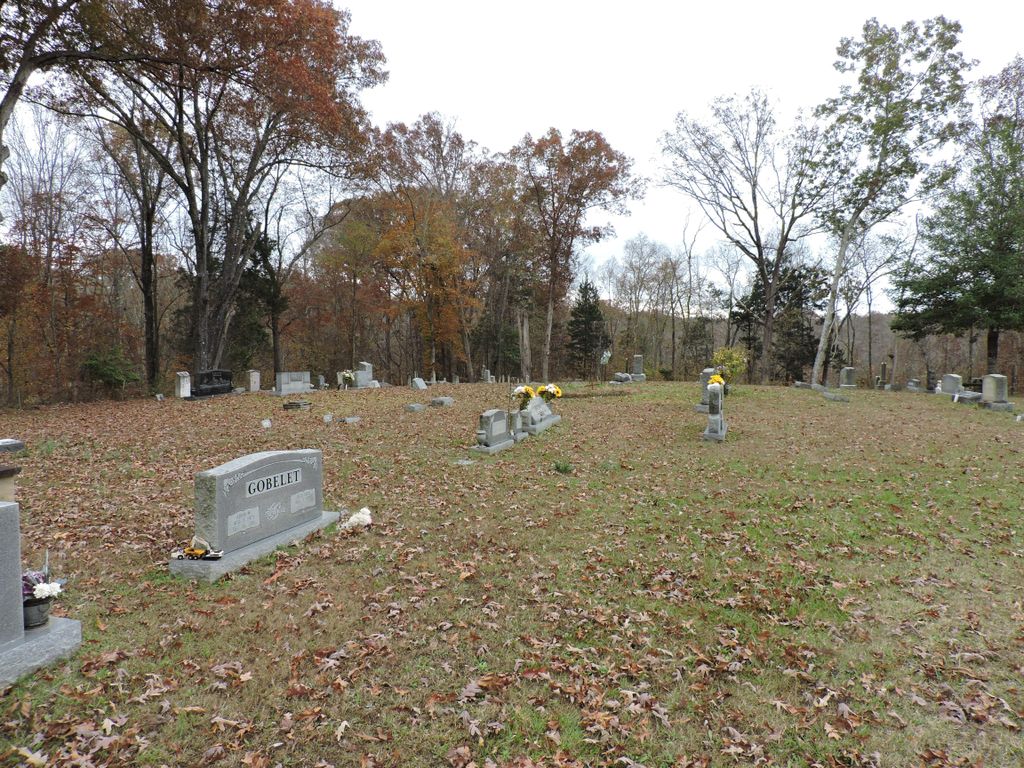
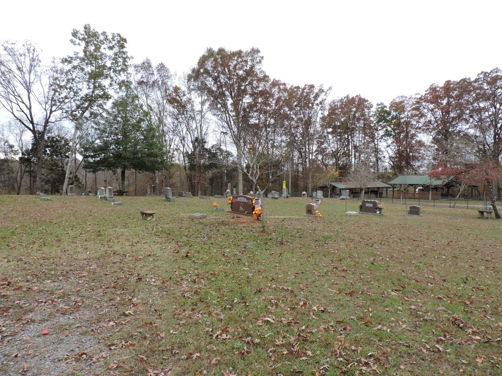
| Memorials | : | 1 |
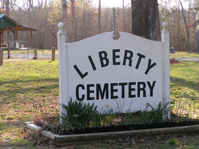
| Location | : | Beech Bluff, Madison County, USA |
| Coordinate | : | 35.6606680, -88.6486600 |
| Description | : | From the intersection of Liberty Claybrook Rd. & US-412, south of I-40's Exit #93, travel south on Liberty Claybrook Rd. for 3.3 mi., turning west (right) onto Liberty Rd., going 0.2 mi., turning southwest (left) into the driveway of the Liberty Methodist Church & to the cemetery. |
frequently asked questions (FAQ):
-
Where is Liberty Church Cemetery?
Liberty Church Cemetery is located at 401 Liberty Rd Beech Bluff, Madison County ,Tennessee , 38313USA.
-
Liberty Church Cemetery cemetery's updated grave count on graveviews.com?
1 memorials
-
Where are the coordinates of the Liberty Church Cemetery?
Latitude: 35.6606680
Longitude: -88.6486600
Nearby Cemetories:
1. Cotton Grove Cemetery
Cotton Grove, Madison County, USA
Coordinate: 35.6718580, -88.6854410
2. Center Point Church Cemetery
Jackson, Madison County, USA
Coordinate: 35.6584250, -88.6898400
3. Maple Springs Cemetery
Henderson County, USA
Coordinate: 35.6559460, -88.6050000
4. Union Grove Church Cemetery
Henderson County, USA
Coordinate: 35.6731520, -88.6040190
5. Jonas Clark Family Cemetery
Jackson, Madison County, USA
Coordinate: 35.6946270, -88.6758830
6. Key Cemetery
Spring Creek, Madison County, USA
Coordinate: 35.7036680, -88.6538450
7. Pearson Family Graveyard
Claybrook, Madison County, USA
Coordinate: 35.7083100, -88.6441600
8. Isaiah Chapel Cemetery
Madison County, USA
Coordinate: 35.6225900, -88.6879580
9. Isaiah Chapel Church Cemeteryʌ
Jackson, Madison County, USA
Coordinate: 35.6225850, -88.6880130
10. Pleasant Hill Church Cemetery
Beech Bluff, Madison County, USA
Coordinate: 35.6113250, -88.6374810
11. Claybrook-Berry Zion Cemetery
Beech Bluff, Madison County, USA
Coordinate: 35.7072720, -88.6249050
12. Bells Chapel Cemetery
Blue Goose, Henderson County, USA
Coordinate: 35.6811000, -88.5905000
13. Browns Church Cemetery
Jackson, Madison County, USA
Coordinate: 35.6782250, -88.7110860
14. Union Hill C.M.E. Church Cemetery
Jackson, Madison County, USA
Coordinate: 35.6792730, -88.7117900
15. McCoy Cemetery
Jackson, Madison County, USA
Coordinate: 35.6176610, -88.6914250
16. Beech Bluff Cemetery
Beech Bluff, Madison County, USA
Coordinate: 35.5995930, -88.6380390
17. Fenner Cemetery
Jackson, Madison County, USA
Coordinate: 35.6679800, -88.7289100
18. Gaskins Cemetery
Claybrook, Madison County, USA
Coordinate: 35.7176590, -88.6917720
19. Nebo Church Cemetery
Henderson County, USA
Coordinate: 35.6400540, -88.5689960
20. Manley Cemetery
Blue Goose, Henderson County, USA
Coordinate: 35.7069600, -88.5837520
21. Williams Family Cemetery
Jackson, Madison County, USA
Coordinate: 35.7306000, -88.6325000
22. May Family Cemetery
Spring Creek, Madison County, USA
Coordinate: 35.7216000, -88.6985000
23. Cogdell Cemetery
Blue Goose, Henderson County, USA
Coordinate: 35.7015520, -88.5732290
24. House of Israel Cemetery
Jackson, Madison County, USA
Coordinate: 35.6256910, -88.7286210