
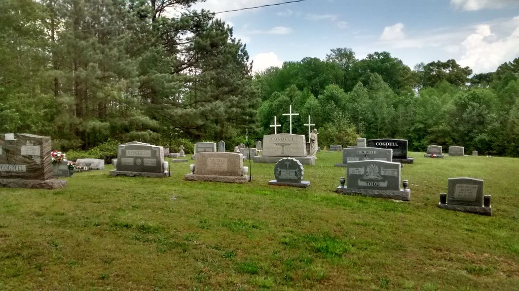
| Memorials | : | 13 |
| Location | : | Blue Goose, Henderson County, USA |
| Coordinate | : | 35.7015520, -88.5732290 |
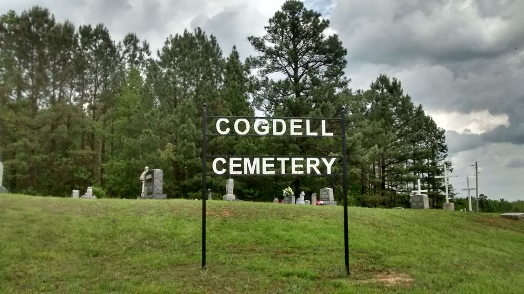
| Description | : | Cogdell Cemetery is located on Hwy. 412 about 10 miles west of Lexington, Henderson county, Tenn. in the Blue Goose community. |
frequently asked questions (FAQ):
-
Where is Cogdell Cemetery?
Cogdell Cemetery is located at Blue Goose, Henderson County ,Tennessee ,USA.
-
Cogdell Cemetery cemetery's updated grave count on graveviews.com?
13 memorials
-
Where are the coordinates of the Cogdell Cemetery?
Latitude: 35.7015520
Longitude: -88.5732290
Nearby Cemetories:
1. Manley Cemetery
Blue Goose, Henderson County, USA
Coordinate: 35.7069600, -88.5837520
2. Bells Chapel Cemetery
Blue Goose, Henderson County, USA
Coordinate: 35.6811000, -88.5905000
3. Independence Cemetery
Poplar Springs, Henderson County, USA
Coordinate: 35.7280998, -88.5860977
4. Anderson Cemetery
Henderson County, USA
Coordinate: 35.7016983, -88.5342026
5. George Anderson Cemetery
Lexington, Henderson County, USA
Coordinate: 35.7014470, -88.5324140
6. Old Shady Grove Methodist Church Cemetery
Lexington, Henderson County, USA
Coordinate: 35.7056400, -88.5319300
7. Juno Church of Christ Cemetery
Lexington, Henderson County, USA
Coordinate: 35.6917460, -88.5308050
8. Church of Christ Cemetery
Huron, Henderson County, USA
Coordinate: 35.6919921, -88.5300273
9. Hamlett Cemetery
Blue Goose, Henderson County, USA
Coordinate: 35.6838989, -88.5333023
10. Union Grove Church Cemetery
Henderson County, USA
Coordinate: 35.6731520, -88.6040190
11. Claybrook-Berry Zion Cemetery
Beech Bluff, Madison County, USA
Coordinate: 35.7072720, -88.6249050
12. Cool Springs Cemetery
Independence, Henderson County, USA
Coordinate: 35.7494490, -88.5923100
13. Maple Springs Cemetery
Henderson County, USA
Coordinate: 35.6559460, -88.6050000
14. Waller-Douglas Cemetery
Henderson County, USA
Coordinate: 35.7301970, -88.5179270
15. Oakley Cemetery
Jackson, Madison County, USA
Coordinate: 35.7467730, -88.6094490
16. Williams Family Cemetery
Jackson, Madison County, USA
Coordinate: 35.7306000, -88.6325000
17. Pearson Family Graveyard
Claybrook, Madison County, USA
Coordinate: 35.7083100, -88.6441600
18. Wards Grove Baptist Church Cemetery
Spring Creek, Madison County, USA
Coordinate: 35.7450900, -88.6235510
19. Nebo Church Cemetery
Henderson County, USA
Coordinate: 35.6400540, -88.5689960
20. Pleasant Hill Cemetery
Mount Gilead, Henderson County, USA
Coordinate: 35.7599983, -88.5408020
21. Oak Grove Cemetery
Madison County, USA
Coordinate: 35.7581000, -88.6139000
22. Key Cemetery
Spring Creek, Madison County, USA
Coordinate: 35.7036680, -88.6538450
23. Grant-Gaston Cemeteryʌ
Spring Creek, Madison County, USA
Coordinate: 35.7412000, -88.6406000
24. Stewart Cemetery
Henderson County, USA
Coordinate: 35.7694170, -88.5537500