
| Memorials | : | 0 |
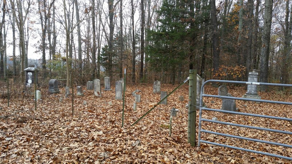
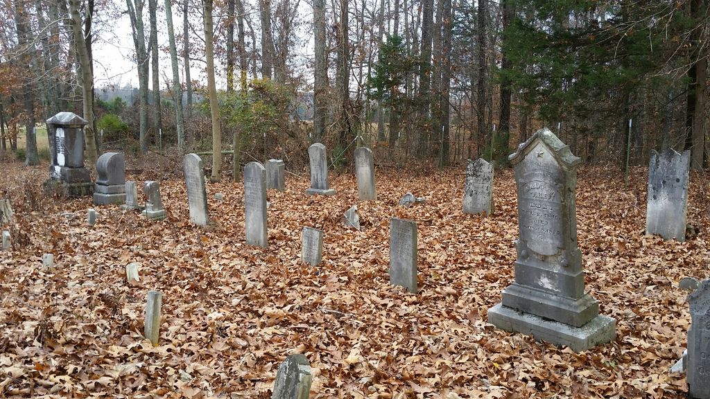
| Location | : | Spring Creek, Madison County, USA |
| Coordinate | : | 35.7036680, -88.6538450 |
| Description | : | From the intersection of Law Rd. & I-40, at Exit 93, travel south on Law Rd., going 0.7 mi., turning west (right) onto US-412 W, going 1.1 mi. to the cemetery in the north (right) side of the road about 100' to the gate & entrance to this old cemetery in the trees. |
frequently asked questions (FAQ):
-
Where is Key Cemetery?
Key Cemetery is located at 1191 US-412 Spring Creek, Madison County ,Tennessee ,USA.
-
Key Cemetery cemetery's updated grave count on graveviews.com?
0 memorials
-
Where are the coordinates of the Key Cemetery?
Latitude: 35.7036680
Longitude: -88.6538450
Nearby Cemetories:
1. Pearson Family Graveyard
Claybrook, Madison County, USA
Coordinate: 35.7083100, -88.6441600
2. Jonas Clark Family Cemetery
Jackson, Madison County, USA
Coordinate: 35.6946270, -88.6758830
3. Claybrook-Berry Zion Cemetery
Beech Bluff, Madison County, USA
Coordinate: 35.7072720, -88.6249050
4. Williams Family Cemetery
Jackson, Madison County, USA
Coordinate: 35.7306000, -88.6325000
5. Gaskins Cemetery
Claybrook, Madison County, USA
Coordinate: 35.7176590, -88.6917720
6. Grant-Gaston Cemeteryʌ
Spring Creek, Madison County, USA
Coordinate: 35.7412000, -88.6406000
7. May Family Cemetery
Spring Creek, Madison County, USA
Coordinate: 35.7216000, -88.6985000
8. Cotton Grove Cemetery
Cotton Grove, Madison County, USA
Coordinate: 35.6718580, -88.6854410
9. Liberty Church Cemetery
Beech Bluff, Madison County, USA
Coordinate: 35.6606680, -88.6486600
10. Wards Grove Baptist Church Cemetery
Spring Creek, Madison County, USA
Coordinate: 35.7450900, -88.6235510
11. Fly Cemetery
Spring Creek, Madison County, USA
Coordinate: 35.7523870, -88.6484160
12. Union Grove Church Cemetery
Henderson County, USA
Coordinate: 35.6731520, -88.6040190
13. Askew Haughton Cemetery
Madison County, USA
Coordinate: 35.7541670, -88.6655290
14. Browns Church Cemetery
Jackson, Madison County, USA
Coordinate: 35.6782250, -88.7110860
15. Union Hill C.M.E. Church Cemetery
Jackson, Madison County, USA
Coordinate: 35.6792730, -88.7117900
16. Center Point Church Cemetery
Jackson, Madison County, USA
Coordinate: 35.6584250, -88.6898400
17. New Carmel Cemetery
Madison County, USA
Coordinate: 35.7578290, -88.6644070
18. Bells Chapel Cemetery
Blue Goose, Henderson County, USA
Coordinate: 35.6811000, -88.5905000
19. Oakley Cemetery
Jackson, Madison County, USA
Coordinate: 35.7467730, -88.6094490
20. Manley Cemetery
Blue Goose, Henderson County, USA
Coordinate: 35.7069600, -88.5837520
21. Independence Cemetery
Poplar Springs, Henderson County, USA
Coordinate: 35.7280998, -88.5860977
22. Maple Springs Cemetery
Henderson County, USA
Coordinate: 35.6559460, -88.6050000
23. Oak Grove Cemetery
Madison County, USA
Coordinate: 35.7581000, -88.6139000
24. Poor House Cemetery
Spring Creek, Madison County, USA
Coordinate: 35.7348520, -88.7229230