
| Memorials | : | 0 |
| Location | : | Kelvin, Brant County Municipality, Canada |
| Coordinate | : | 43.9968000, -80.4688000 |
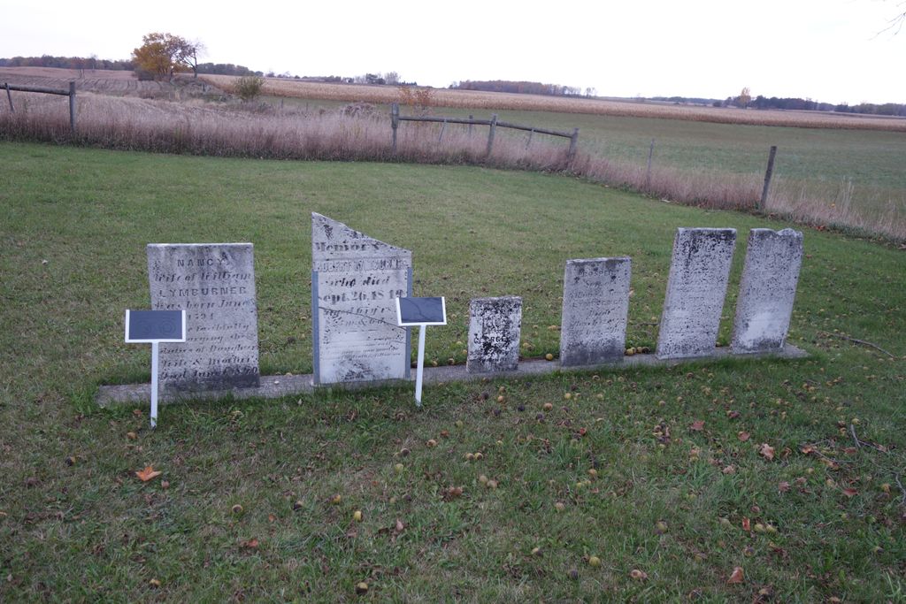
| Description | : | Lot 14, Concession 14, Burford Township Lymburner Cemetery is the burial place for victims of an explosion that occurred in June 1868 when the steam saw and lumber mill of Andrew Lymburner blew up near Lake Hunger, killing six people and wounding two children, one seriously. The dead were Andrew Lymburner, two of his children and three employees, a Mr. Ferris, a Mr. Smith and a Mr. Coon. All six bodies were buried the second day after the explosion; Lymburner and his two children in the same grave. In all, there are... Read More |
frequently asked questions (FAQ):
-
Where is Lymburner Cemetery?
Lymburner Cemetery is located at 282B Burford-Delhi Townline Road Kelvin, Brant County Municipality ,Ontario ,Canada.
-
Lymburner Cemetery cemetery's updated grave count on graveviews.com?
0 memorials
-
Where are the coordinates of the Lymburner Cemetery?
Latitude: 43.9968000
Longitude: -80.4688000
Nearby Cemetories:
1. Saint Patrick's Cemetery
Southgate Township, Grey County, Canada
Coordinate: 44.0381750, -80.4721830
2. Walker's Cemetery
Southgate Township, Grey County, Canada
Coordinate: 44.0539180, -80.4873860
3. Saint Patricks Roman Catholic Cemetery
Cedarville, Grey County, Canada
Coordinate: 44.0309029, -80.5493546
4. Riverdale Mennonite Cemetery
Landerkin, Grey County, Canada
Coordinate: 43.9980545, -80.6197205
5. McDougall Cemetery
Grand Valley, Dufferin County, Canada
Coordinate: 43.9452210, -80.3261600
6. Esplin Cemetery
Grey County, Canada
Coordinate: 44.0992580, -80.5435410
7. Ventry Cemetery
Ventry, Grey County, Canada
Coordinate: 44.1187000, -80.4503000
8. South Luther Ebenezer Presbyterian Church Cemetery
East Luther, Dufferin County, Canada
Coordinate: 43.8839870, -80.3883470
9. Kenilworth Methodist Cemetery
Kenilworth, Wellington County, Canada
Coordinate: 43.8926964, -80.6166458
10. Petherton Pioneer Baptist Cemetery
Petherton, Wellington County, Canada
Coordinate: 43.8842850, -80.6084900
11. Woodland Cemetery
Egremont Township, Grey County, Canada
Coordinate: 44.0238904, -80.6774183
12. Sacred Heart Roman Catholic Cemetery
Kenilworth, Wellington County, Canada
Coordinate: 43.9067993, -80.6410217
13. Union Cemetery
Grand Valley, Dufferin County, Canada
Coordinate: 43.8922070, -80.3121550
14. Kenilworth Pioneer Catholic Cemetery
Kenilworth, Wellington County, Canada
Coordinate: 43.9085900, -80.6464300
15. Salem Cemetery
Proton Township, Grey County, Canada
Coordinate: 44.1554600, -80.5472200
16. Maple Grove Cemetery
Dundalk, Grey County, Canada
Coordinate: 44.1599000, -80.4026800
17. Amos Presbyterian Cemetery
Dromore, Grey County, Canada
Coordinate: 44.1492600, -80.5817900
18. Swinton Park Cemetery
Swinton Park, Grey County, Canada
Coordinate: 44.1492600, -80.5817900
19. Waldemar Cemetery
Dufferin County, Canada
Coordinate: 43.8861500, -80.2820000
20. Bethel United Church Cemetery
Southgate Township, Grey County, Canada
Coordinate: 44.1736200, -80.4623800
21. Saint John the Evangelist Roman Catholic Cemetery
Arthur, Wellington County, Canada
Coordinate: 43.8293300, -80.5559700
22. Greenfield Cemetery
Arthur, Wellington County, Canada
Coordinate: 43.8287070, -80.5598260
23. Mount Forest Cemetery
Southgate Township, Grey County, Canada
Coordinate: 44.0039100, -80.7266500
24. Saint Paul's Anglican Cemetery
Melancthon, Dufferin County, Canada
Coordinate: 44.1028300, -80.2559300