
| Memorials | : | 13 |
| Location | : | Mahurangi, Auckland Council, New Zealand |
| Coordinate | : | -36.4589100, 174.7317400 |
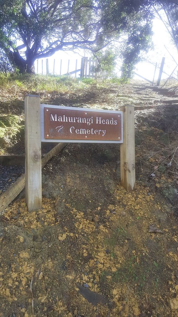
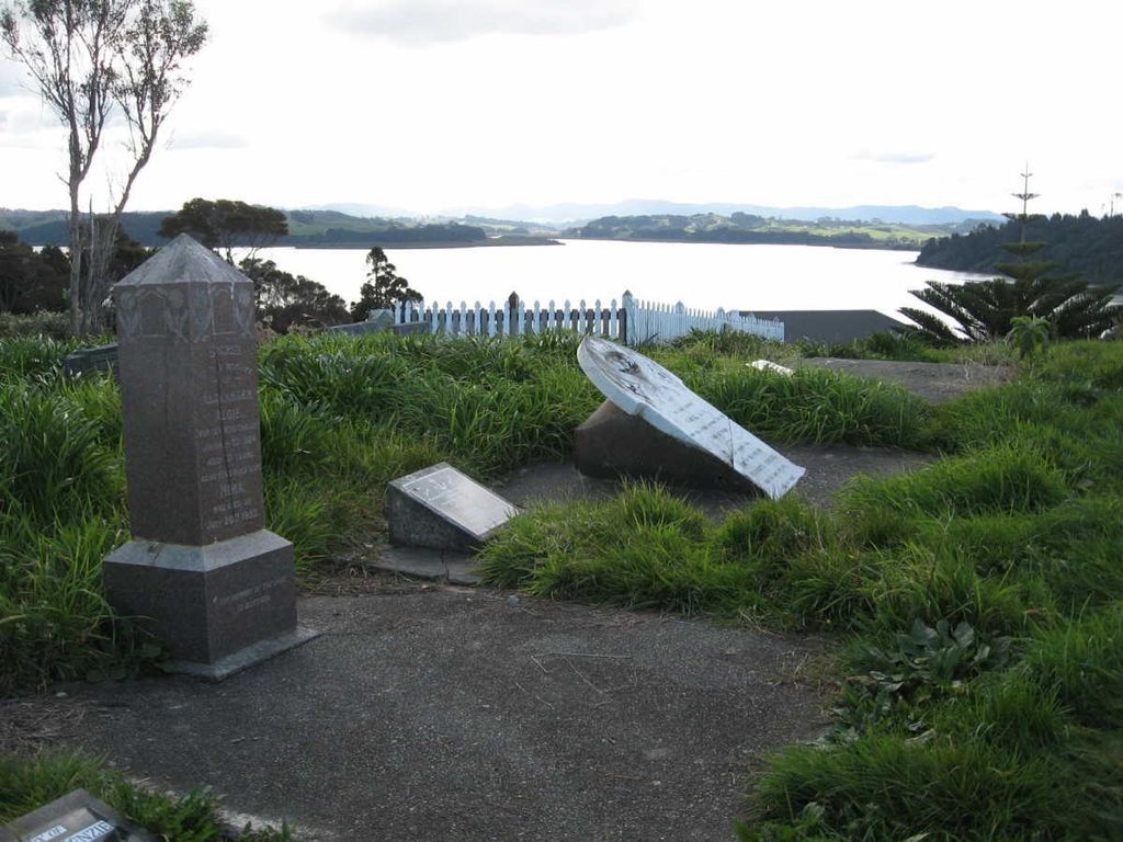
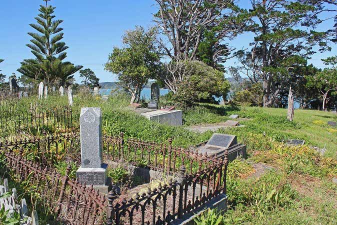
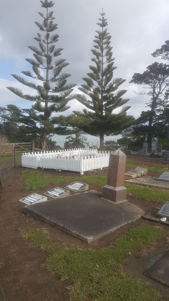
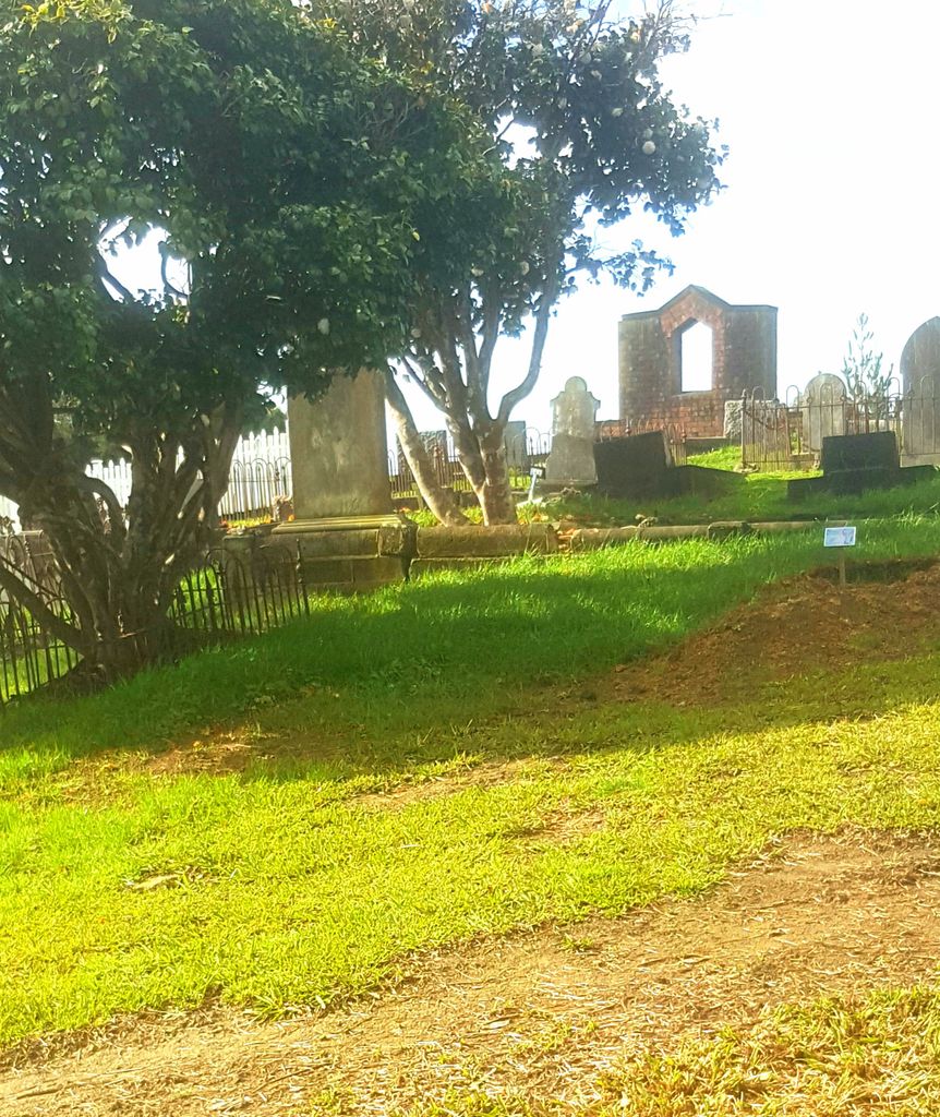
| Description | : | Mahurangi Heads Presbyterian Cemetery is located on Mahurangi Peninsula on the North Island of New Zealand and has a beautiful outlook over Mahurangi Harbour to Grants Island. The cemetery is on the south side of house number 357 on Ridge Road, before the 50 km zone on the west side of the road. Travelling south after passing 357 the road sweeps right where a rough set of steps cut into the bank leading up to a small gate to the cemetery. The oldest headstone is for William J. Grant who died in 1880. |
frequently asked questions (FAQ):
-
Where is Mahurangi Heads Presbyterian Church Cemetery?
Mahurangi Heads Presbyterian Church Cemetery is located at Beside 357 Ridge Road, Mahurangi, Auckland, New Zealand Mahurangi, Auckland Council ,Auckland ,New Zealand.
-
Mahurangi Heads Presbyterian Church Cemetery cemetery's updated grave count on graveviews.com?
13 memorials
-
Where are the coordinates of the Mahurangi Heads Presbyterian Church Cemetery?
Latitude: -36.4589100
Longitude: 174.7317400

Nearby Cemetories:
1. Te Kapa Cemetery
Mahurangi, Auckland Council, New Zealand
Coordinate: -36.4511910, 174.7502920
2. National Erebus Memorial
Parnell, Auckland Council, New Zealand
Coordinate: -36.4546695, 174.7720847
3. Pukapuka Cemetery
Pohuehue, Auckland Council, New Zealand
Coordinate: -36.4858910, 174.6783405
4. Te Muri
Puhoi, Auckland Council, New Zealand
Coordinate: -36.5182030, 174.7204840
5. Warkworth Cemetery
Warkworth, Auckland Council, New Zealand
Coordinate: -36.4128510, 174.6674360
6. Warkworth Anglican Church Cemetery
Warkworth, Auckland Council, New Zealand
Coordinate: -36.4022100, 174.6628800
7. Puhoi Cemetery
Puhoi, Auckland Council, New Zealand
Coordinate: -36.5052400, 174.6476300
8. Boyds Hill Cemetery
Kawau Island, Auckland Council, New Zealand
Coordinate: -36.4312880, 174.8294080
9. Warkworth Roman Catholic Cemetery
Warkworth, Auckland Council, New Zealand
Coordinate: -36.3895340, 174.6457850
10. Matakana Public Cemetery
Matakana, Auckland Council, New Zealand
Coordinate: -36.3488910, 174.7232640
11. Whangateau Cemetery
Whangateau, Auckland Council, New Zealand
Coordinate: -36.3141600, 174.7710200
12. Stanmore Bay Beach Cemetery
Whangaparāoa, Auckland Council, New Zealand
Coordinate: -36.6244131, 174.7445165
13. Wainui Public Cemetery
Wainui, Auckland Council, New Zealand
Coordinate: -36.6069500, 174.6322800
14. Wainui Settlers Cemetery
Wainui, Auckland Council, New Zealand
Coordinate: -36.6077200, 174.6324400
15. Auckland Memorial Park Cemetery
Silverdale, Auckland Council, New Zealand
Coordinate: -36.6273150, 174.6725690
16. Leigh Cemetery
Leigh, Auckland Council, New Zealand
Coordinate: -36.2902800, 174.8094100
17. Komokoriki Cemetery
Manukau, Auckland Council, New Zealand
Coordinate: -36.5026370, 174.5033710
18. Pakiri Cemetery
Pakiri, Auckland Council, New Zealand
Coordinate: -36.2594400, 174.7265300
19. Kaipara Flats Cemetery
Kaipara Flats, Auckland Council, New Zealand
Coordinate: -36.5017800, 174.4534100
20. Glorit Cemetery
Glorit, Auckland Council, New Zealand
Coordinate: -36.4599760, 174.4448830
21. Hoteo North Cemetery
Hoteo North, Auckland Council, New Zealand
Coordinate: -36.3255803, 174.4957872
22. St. Mary's Pioneer Cemetery
Torbay, Auckland Council, New Zealand
Coordinate: -36.6959500, 174.7512400
23. Tauhoa Cemetery
Tauhoa, Auckland Council, New Zealand
Coordinate: -36.3671330, 174.4449600
24. Kaukapakapa Cemetery
Kaukapakapa, Auckland Council, New Zealand
Coordinate: -36.6268500, 174.5013400