
| Memorials | : | 0 |
| Location | : | Bampton Grange, Eden District, England |
| Coordinate | : | 54.5565000, -2.7384500 |
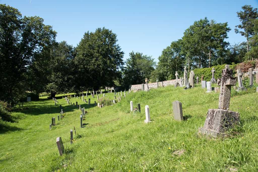
| Description | : | Not to be confused with Bampton, St Patrick Churchyard which is in Bampton Grange. A "church cemetery" describes those burial grounds where there is a new piece of land, not adjoining the existing churchyard, and which has been consecrated as an addition to the church's burial space. It is therefore a 'detached churchyard extension' as opposed to a New Churchyard or Extension Churchyard which is contiguous with the churchyard. Bampton is a village and civil parish in the Eden District of Cumbria, England, on the edge of the Lake District National Park. The parish includes the villages of Bampton and Bampton Grange |
frequently asked questions (FAQ):
-
Where is St Patrick Church Cemetery?
St Patrick Church Cemetery is located at Bampton Grange, Eden District ,Cumbria ,England.
-
St Patrick Church Cemetery cemetery's updated grave count on graveviews.com?
0 memorials
-
Where are the coordinates of the St Patrick Church Cemetery?
Latitude: 54.5565000
Longitude: -2.7384500
Nearby Cemetories:
1. Bampton New Cemetery
Bampton Grange, Eden District, England
Coordinate: 54.5566033, -2.7384797
2. St Patrick's Church Roll Of Honour WW1 WW2
Bampton Grange, Eden District, England
Coordinate: 54.5553230, -2.7413750
3. St Patrick Churchyard
Bampton Grange, Eden District, England
Coordinate: 54.5553000, -2.7413640
4. Shap Abbey
Shap, Eden District, England
Coordinate: 54.5301890, -2.6999250
5. St Mary Churchyard
Thrimby, Eden District, England
Coordinate: 54.5708750, -2.6782120
6. St. Michael‘s Churchyard
Shap, Eden District, England
Coordinate: 54.5314090, -2.6754280
7. Shap Cemetery
Shap, Eden District, England
Coordinate: 54.5323200, -2.6711700
8. Saint Peter's Churchyard
Askham, Eden District, England
Coordinate: 54.6077420, -2.7476530
9. St Barnabas Cemetery
Great Strickland, Eden District, England
Coordinate: 54.6002670, -2.6794060
10. St. Michael Churchyard
Lowther, Eden District, England
Coordinate: 54.6129190, -2.7462760
11. St. Lawrence Churchyard
Morland, Eden District, England
Coordinate: 54.5964730, -2.6235880
12. St. Peter's Churchyard
Martindale, Eden District, England
Coordinate: 54.5644170, -2.8736600
13. St Martin Churchyard
Martindale, Eden District, England
Coordinate: 54.5576910, -2.8761900
14. Saint Cuthbert's Churchyard
Clifton, Eden District, England
Coordinate: 54.6361620, -2.7266804
15. St. Michael's Churchyard
Barton, Eden District, England
Coordinate: 54.6297980, -2.7949154
16. St Cuthbert Churchyard
Cliburn, Eden District, England
Coordinate: 54.6138700, -2.6399030
17. Brougham Hall and St Wilfrids Chapel Grounds
Brougham, Eden District, England
Coordinate: 54.6482400, -2.7334200
18. All Saints Churchyard
Watermillock, Eden District, England
Coordinate: 54.5987500, -2.8811030
19. Brougham Castle
Brougham, Eden District, England
Coordinate: 54.6493200, -2.7285300
20. St Lawrence Crosby Ravensworth
Crosby Ravensworth, Eden District, England
Coordinate: 54.5276540, -2.5859000
21. St Andrew's Churchyard
Dacre, Eden District, England
Coordinate: 54.6319910, -2.8380460
22. St. Andrew's Churchyard
Penrith, Eden District, England
Coordinate: 54.6640750, -2.7513390
23. Penrith Quaker Meeting House
Penrith, Eden District, England
Coordinate: 54.6664360, -2.7513030
24. Eden Valley Crematorium
Temple Sowerby, Eden District, England
Coordinate: 54.6451850, -2.6237780