
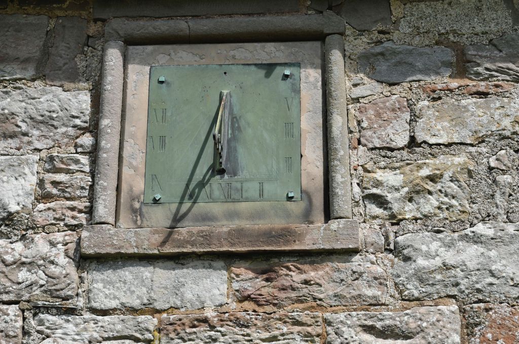
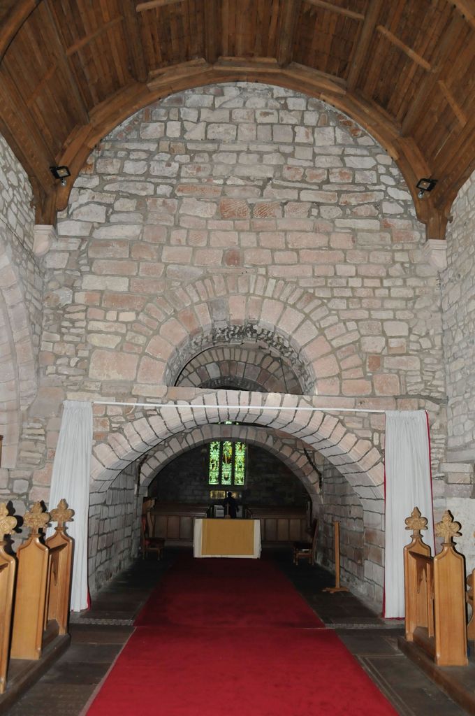
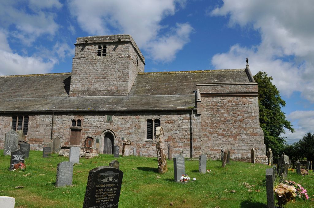
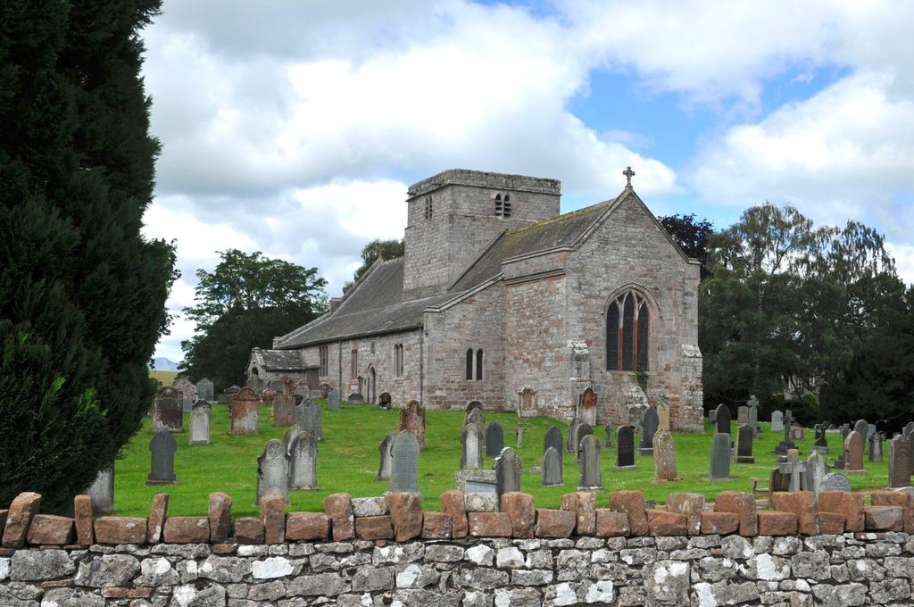
| Memorials | : | 1 |
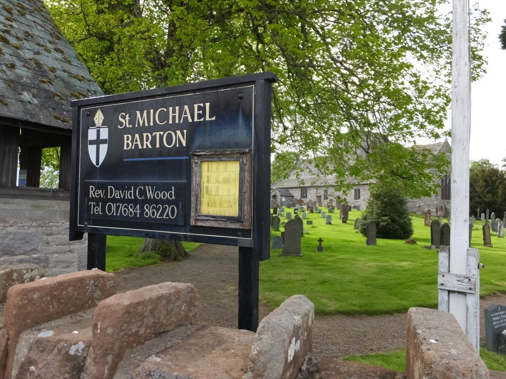
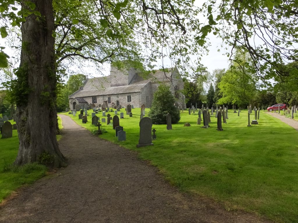
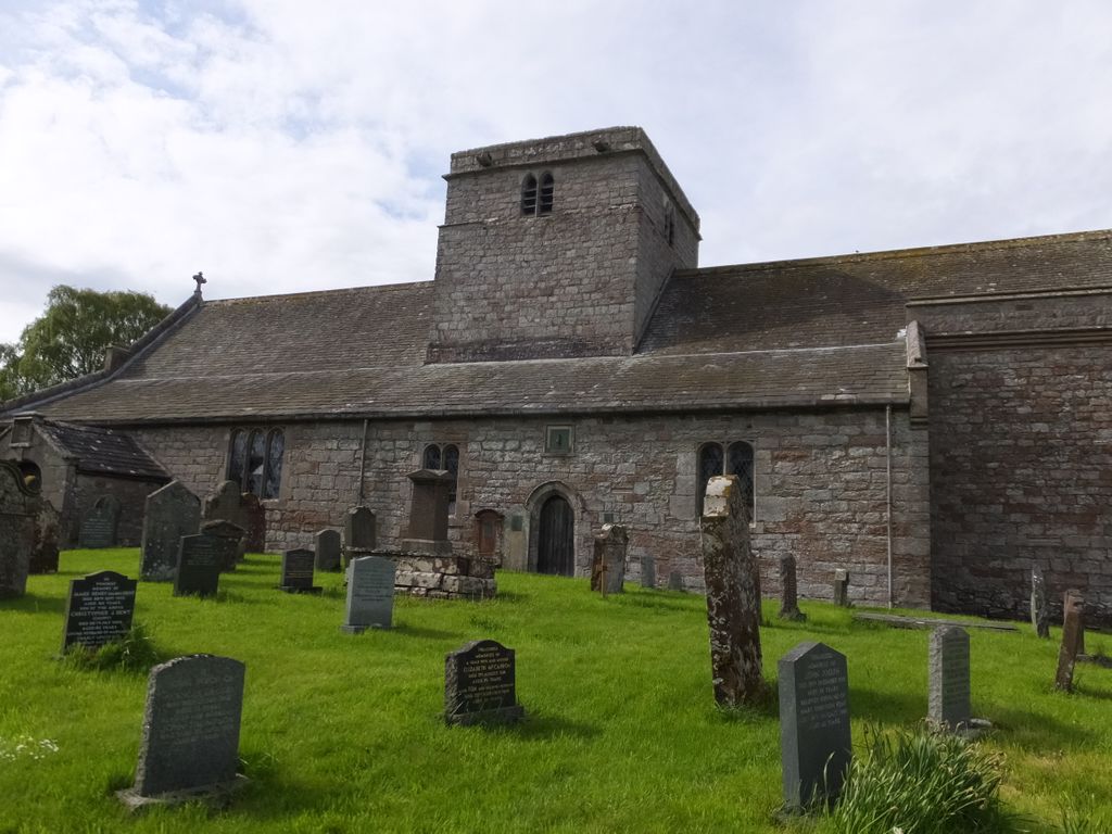
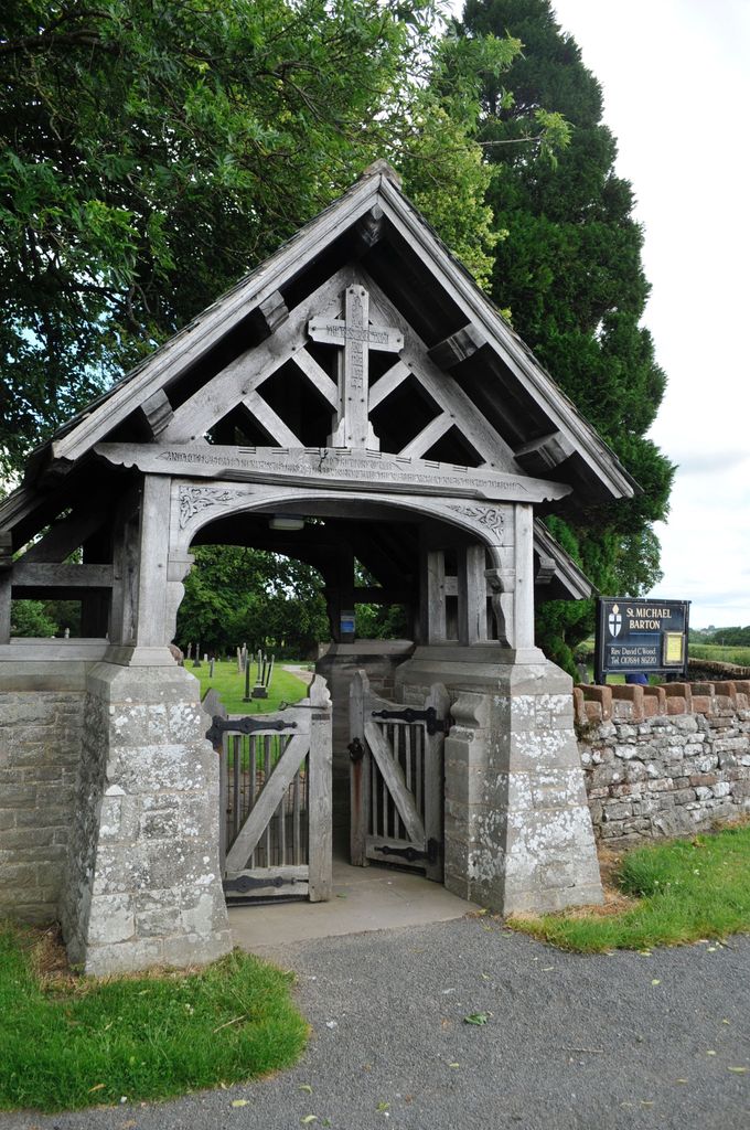
| Location | : | Barton, Eden District, England |
| Coordinate | : | 54.6297980, -2.7949154 |
frequently asked questions (FAQ):
-
Where is St. Michael's Churchyard?
St. Michael's Churchyard is located at Barton, Eden District ,Cumbria ,England.
-
St. Michael's Churchyard cemetery's updated grave count on graveviews.com?
1 memorials
-
Where are the coordinates of the St. Michael's Churchyard?
Latitude: 54.6297980
Longitude: -2.7949154
Nearby Cemetories:
1. St Andrew's Churchyard
Dacre, Eden District, England
Coordinate: 54.6319910, -2.8380460
2. St. Michael Churchyard
Lowther, Eden District, England
Coordinate: 54.6129190, -2.7462760
3. Saint Peter's Churchyard
Askham, Eden District, England
Coordinate: 54.6077420, -2.7476530
4. Saint Cuthbert's Churchyard
Clifton, Eden District, England
Coordinate: 54.6361620, -2.7266804
5. Brougham Hall and St Wilfrids Chapel Grounds
Brougham, Eden District, England
Coordinate: 54.6482400, -2.7334200
6. St. Andrew's Churchyard
Penrith, Eden District, England
Coordinate: 54.6640750, -2.7513390
7. Brougham Castle
Brougham, Eden District, England
Coordinate: 54.6493200, -2.7285300
8. Penrith Quaker Meeting House
Penrith, Eden District, England
Coordinate: 54.6664360, -2.7513030
9. Christ Church
Penrith, Eden District, England
Coordinate: 54.6678290, -2.7548970
10. St. John Churchyard
Newton Reigny, Eden District, England
Coordinate: 54.6767560, -2.8088380
11. Beacon Edge Cemetery
Penrith, Eden District, England
Coordinate: 54.6728020, -2.7503650
12. St. Andrew Churchyard
Greystoke, Eden District, England
Coordinate: 54.6690130, -2.8645240
13. United Reformed Churchyard
Penruddock, Eden District, England
Coordinate: 54.6391750, -2.8915670
14. All Saints Churchyard
Watermillock, Eden District, England
Coordinate: 54.5987500, -2.8811030
15. St Barnabas Cemetery
Great Strickland, Eden District, England
Coordinate: 54.6002670, -2.6794060
16. St. Peter's Churchyard
Martindale, Eden District, England
Coordinate: 54.5644170, -2.8736600
17. Bampton New Cemetery
Bampton Grange, Eden District, England
Coordinate: 54.5566033, -2.7384797
18. St Patrick Church Cemetery
Bampton Grange, Eden District, England
Coordinate: 54.5565000, -2.7384500
19. St Patrick's Church Roll Of Honour WW1 WW2
Bampton Grange, Eden District, England
Coordinate: 54.5553230, -2.7413750
20. St Patrick Churchyard
Bampton Grange, Eden District, England
Coordinate: 54.5553000, -2.7413640
21. St Martin Churchyard
Martindale, Eden District, England
Coordinate: 54.5576910, -2.8761900
22. Saint Cuthbert's Churchyard
Edenhall, Eden District, England
Coordinate: 54.6816000, -2.6700000
23. St Mary Churchyard
Thrimby, Eden District, England
Coordinate: 54.5708750, -2.6782120
24. Matterdale Churchyard Extension
Matterdale, Eden District, England
Coordinate: 54.5944700, -2.9385260