
| Memorials | : | 9 |
| Location | : | Toronto, Jefferson County, USA |
| Coordinate | : | 40.5092010, -80.7508011 |
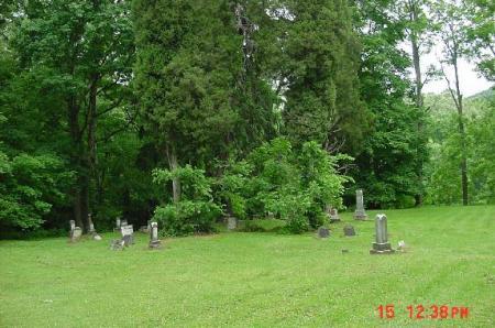
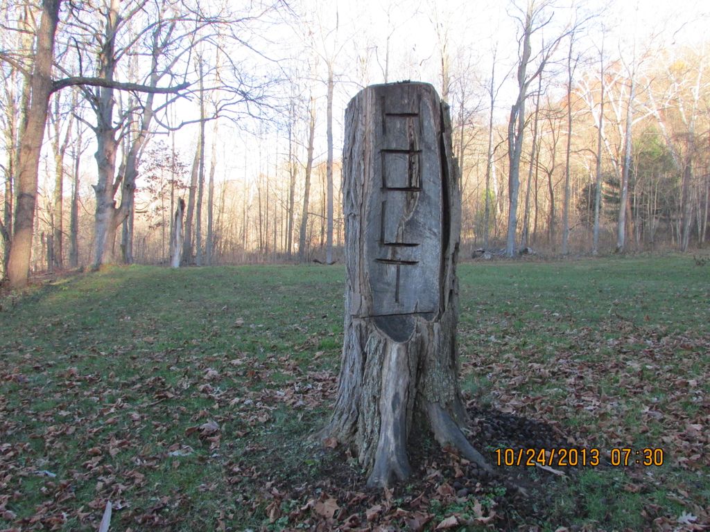
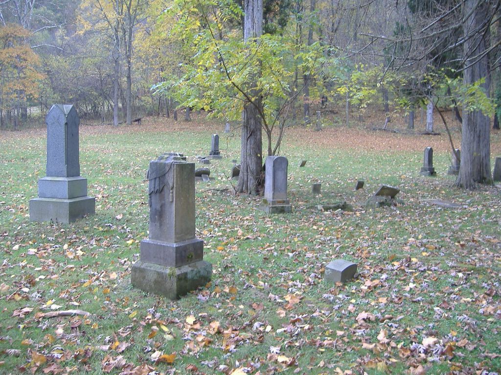
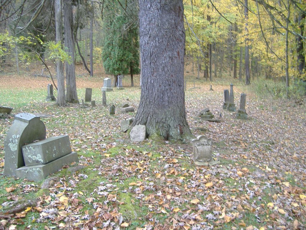
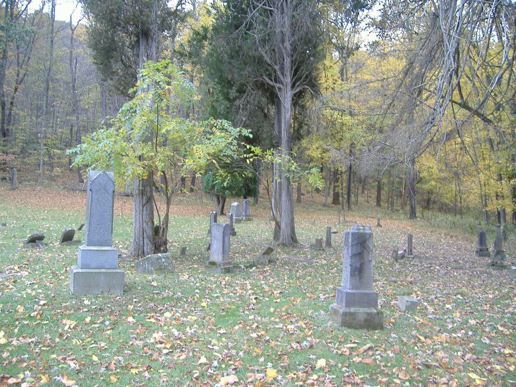
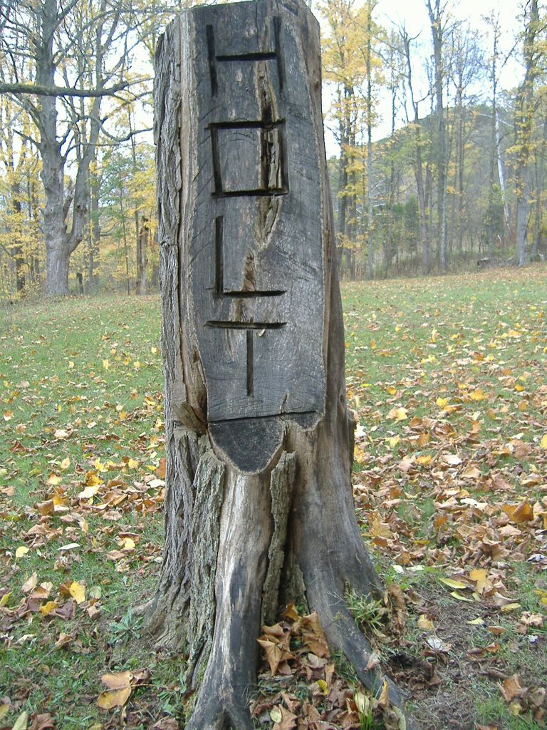
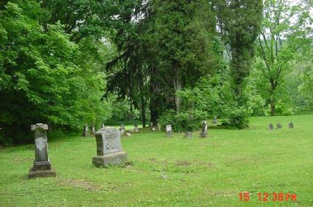
| Description | : | The cemetery is located on the west side of Mt. Zion Road (Township Road 218) about 0.2 mile southwest of its intersection with New Somerset Road (County Road 53). The cemetery is located in Ross Township, Jefferson County, Ohio, and is # 6049 (Bethel Lutheran Cemetery / Holt Cemetery / McClelland Cemetery) in “Ohio Cemeteries 1803-2003”, compiled by the Ohio Genealogical Society. The U.S. Geological Survey (USGS) Geographic Names Information System (GNIS) feature ID for the cemetery is 1043089 (McClelland Cemetery / Bethel Lutheran Cemetery / Holt Cemetery). |
frequently asked questions (FAQ):
-
Where is McClelland Cemetery?
McClelland Cemetery is located at Mt. Zion Road (Township Road 218) Toronto, Jefferson County ,Ohio , 43932USA.
-
McClelland Cemetery cemetery's updated grave count on graveviews.com?
9 memorials
-
Where are the coordinates of the McClelland Cemetery?
Latitude: 40.5092010
Longitude: -80.7508011
Nearby Cemetories:
1. Pine Grove United Methodist Church Cemetery
Hammondsville, Jefferson County, USA
Coordinate: 40.5370800, -80.7581400
2. New Somerset Christian Church Cemetery
Toronto, Jefferson County, USA
Coordinate: 40.5193400, -80.7100300
3. New Somerset Methodist Church Cemetery
Knox Township, Jefferson County, USA
Coordinate: 40.5169070, -80.7078950
4. Mount Zion Cemetery
Holt, Jefferson County, USA
Coordinate: 40.4893400, -80.7867100
5. Seever Cemetery
Ross Township, Jefferson County, USA
Coordinate: 40.5233561, -80.7984235
6. Osage Cemetery
Toronto, Jefferson County, USA
Coordinate: 40.4739500, -80.7234100
7. Shelley Cemetery
Knox Township, Jefferson County, USA
Coordinate: 40.4817009, -80.7106018
8. Andrews Cemetery
Ross Township, Jefferson County, USA
Coordinate: 40.4674530, -80.7682190
9. Russell Cemetery
Irondale, Jefferson County, USA
Coordinate: 40.5541992, -80.7869034
10. Hammondsville Cemetery
Hammondsville, Jefferson County, USA
Coordinate: 40.5530014, -80.7099991
11. Knoxville Cemetery
Knoxville, Jefferson County, USA
Coordinate: 40.4906006, -80.6837006
12. Shane Cemetery
Shane, Jefferson County, USA
Coordinate: 40.4808006, -80.8127975
13. Grimm Cemetery
Knox Township, Jefferson County, USA
Coordinate: 40.4708390, -80.6923170
14. Mount Tabor Methodist Church Cemetery
Richmond, Jefferson County, USA
Coordinate: 40.4519997, -80.7286987
15. Morning View Cemetery
Irondale, Jefferson County, USA
Coordinate: 40.5682983, -80.7382965
16. Chestnut Grove Cemetery
Irondale, Jefferson County, USA
Coordinate: 40.5733000, -80.7569600
17. Mooretown Methodist Episcopal Cemetery
Ross Township, Jefferson County, USA
Coordinate: 40.5189200, -80.8391800
18. Old Irondale Cemetery
Irondale, Jefferson County, USA
Coordinate: 40.5752670, -80.7292340
19. Irondale Cemetery
Irondale, Jefferson County, USA
Coordinate: 40.5753650, -80.7290040
20. Montgomery Cemetery
East Springfield, Jefferson County, USA
Coordinate: 40.4776540, -80.8347600
21. Yellow Creek Cemetery
Bergholz, Jefferson County, USA
Coordinate: 40.5193740, -80.8438470
22. Sugar Grove Cemetery
Empire, Jefferson County, USA
Coordinate: 40.5130005, -80.6545029
23. Methodist-Episcopal Cemetery
Richmond, Jefferson County, USA
Coordinate: 40.4317460, -80.7709400
24. Richmond United Presbyterian Cemetery
Salem Township, Jefferson County, USA
Coordinate: 40.4310989, -80.7680969