
| Memorials | : | 0 |
| Location | : | Shane, Jefferson County, USA |
| Coordinate | : | 40.4808006, -80.8127975 |
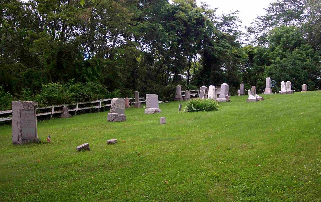
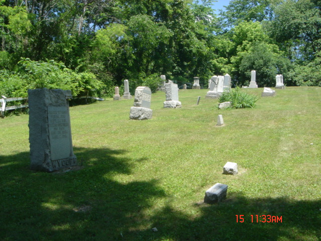
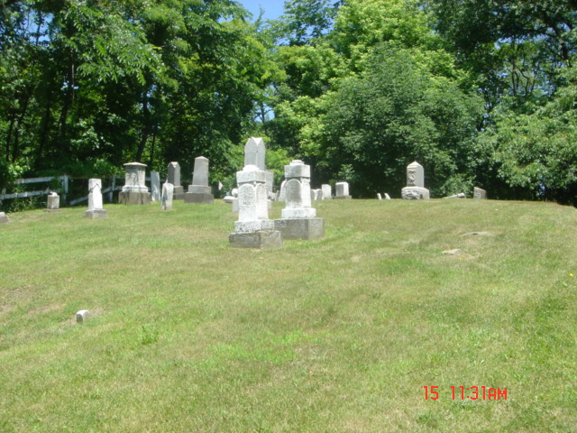
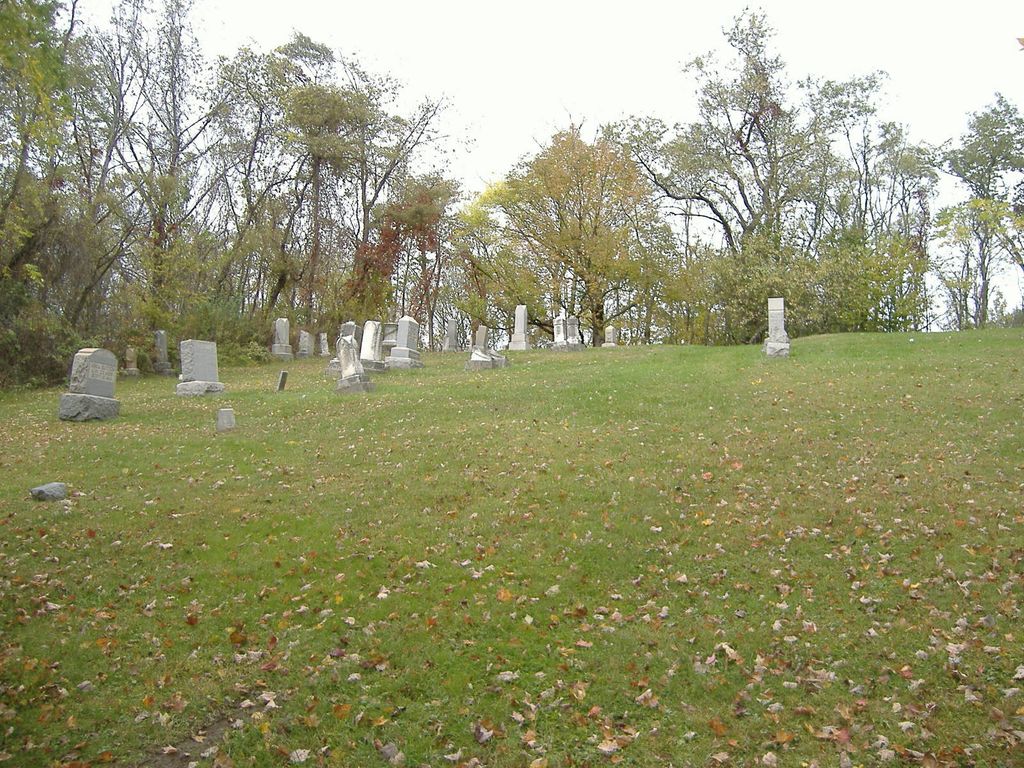
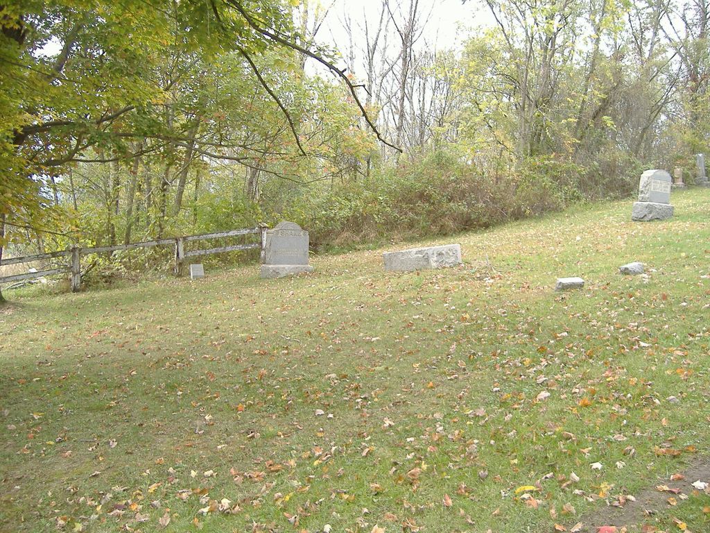
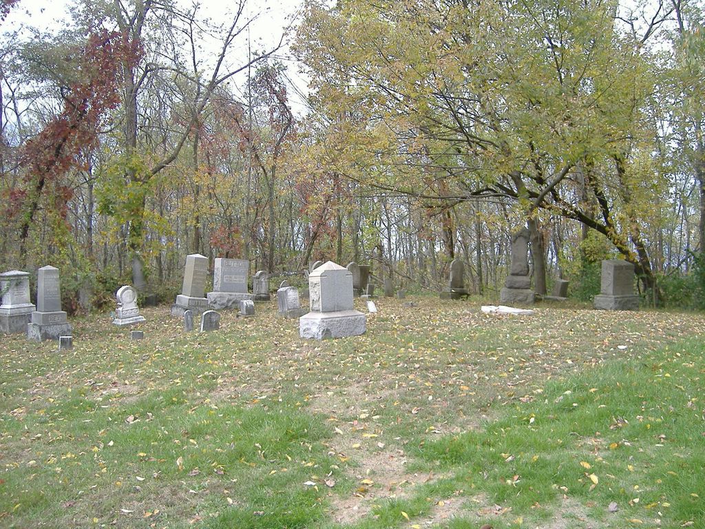
| Description | : | The cemetery is located on the north side of State Park Mooretown Road (County Road 54) about 0.2 miles east of its intersection with Bacon Ridge Road (County Road 59). The cemetery is located in Mount Pleasant Township, Jefferson County, Ohio, and is # 6052 (Mount Lebanon Cemetery / Shane Cemetery / Lebanon Cemetery) in “Ohio Cemeteries 1803-2003”, compiled by the Ohio Genealogical Society. The U.S. Geological Survey (USGS) Geographic Names Information System (GNIS) feature ID for the cemetery is 1042463 (Lebanon Cemetery). |
frequently asked questions (FAQ):
-
Where is Shane Cemetery?
Shane Cemetery is located at State Park Mooretown Road (County Road 54) Shane, Jefferson County ,Ohio , 43944USA.
-
Shane Cemetery cemetery's updated grave count on graveviews.com?
0 memorials
-
Where are the coordinates of the Shane Cemetery?
Latitude: 40.4808006
Longitude: -80.8127975
Nearby Cemetories:
1. Montgomery Cemetery
East Springfield, Jefferson County, USA
Coordinate: 40.4776540, -80.8347600
2. Mount Zion Cemetery
Holt, Jefferson County, USA
Coordinate: 40.4893400, -80.7867100
3. Andrews Cemetery
Ross Township, Jefferson County, USA
Coordinate: 40.4674530, -80.7682190
4. Wallace Cemetery
Salem Township, Jefferson County, USA
Coordinate: 40.4391170, -80.8176500
5. Mooretown Methodist Episcopal Cemetery
Ross Township, Jefferson County, USA
Coordinate: 40.5189200, -80.8391800
6. Seever Cemetery
Ross Township, Jefferson County, USA
Coordinate: 40.5233561, -80.7984235
7. Yellow Creek Cemetery
Bergholz, Jefferson County, USA
Coordinate: 40.5193740, -80.8438470
8. East Springfield Cemetery
East Springfield, Jefferson County, USA
Coordinate: 40.4490890, -80.8592080
9. Circle Green Cemetery
Springfield Township, Jefferson County, USA
Coordinate: 40.4817610, -80.8769050
10. McClelland Cemetery
Toronto, Jefferson County, USA
Coordinate: 40.5092010, -80.7508011
11. Methodist-Episcopal Cemetery
Richmond, Jefferson County, USA
Coordinate: 40.4317460, -80.7709400
12. Dorn Cemetery
Bergholz, Jefferson County, USA
Coordinate: 40.5257988, -80.8625031
13. Richmond Union Cemetery
Richmond, Jefferson County, USA
Coordinate: 40.4289017, -80.7763977
14. Richmond United Presbyterian Cemetery
Salem Township, Jefferson County, USA
Coordinate: 40.4310989, -80.7680969
15. All Saints Russian Orthodox Church Cemetery
Wolf Run, Jefferson County, USA
Coordinate: 40.4598130, -80.8920900
16. Davidson Cemetery
Springfield Township, Jefferson County, USA
Coordinate: 40.4441986, -80.8818970
17. Kisha Farm Cemetery
Wolf Run, Jefferson County, USA
Coordinate: 40.4646988, -80.8964005
18. Miller Cemetery
Springfield Township, Jefferson County, USA
Coordinate: 40.4509580, -80.8913850
19. Osage Cemetery
Toronto, Jefferson County, USA
Coordinate: 40.4739500, -80.7234100
20. Pine Grove United Methodist Church Cemetery
Hammondsville, Jefferson County, USA
Coordinate: 40.5370800, -80.7581400
21. Mount Tabor Methodist Church Cemetery
Richmond, Jefferson County, USA
Coordinate: 40.4519997, -80.7286987
22. Bergholz Cemetery
Bergholz, Jefferson County, USA
Coordinate: 40.5155983, -80.8955994
23. Quaker Cemetery
Richmond, Jefferson County, USA
Coordinate: 40.4112680, -80.7883450
24. Leas Cemetery
Salem Township, Jefferson County, USA
Coordinate: 40.4106710, -80.8383720