
| Memorials | : | 5 |
| Location | : | Ross Township, Jefferson County, USA |
| Coordinate | : | 40.5189200, -80.8391800 |
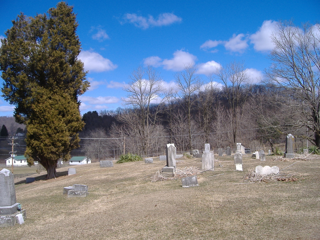
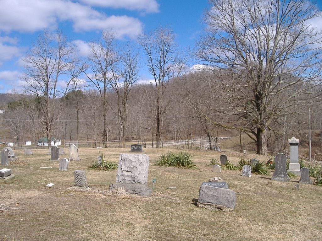
| Description | : | The cemetery is located on the south side of Bergholz New Somerset Road (County Road 53) about 0.1 mile west of its intersection with Township Road 280. The cemetery is located in Ross Township, Jefferson County, Ohio, and is # 6050 (Mooretown Methodist Episcopal Cemetery / Pravo Cemetery) in “Ohio Cemeteries 1803-2003”, compiled by the Ohio Genealogical Society. The cemetery is registered with the Ohio Division of Real Estate and Professional Licensing (ODRE) as Mooretown Cemetery with registration license number CGR.0000981778. The U.S. Geological Survey (USGS) Geographic Names Information System (GNIS) feature ID for the cemetery is 1961699 (Mooretown... Read More |
frequently asked questions (FAQ):
-
Where is Mooretown Methodist Episcopal Cemetery?
Mooretown Methodist Episcopal Cemetery is located at Bergholz New Somerset Road (County Road 53) Ross Township, Jefferson County ,Ohio , 43908USA.
-
Mooretown Methodist Episcopal Cemetery cemetery's updated grave count on graveviews.com?
5 memorials
-
Where are the coordinates of the Mooretown Methodist Episcopal Cemetery?
Latitude: 40.5189200
Longitude: -80.8391800
Nearby Cemetories:
1. Yellow Creek Cemetery
Bergholz, Jefferson County, USA
Coordinate: 40.5193740, -80.8438470
2. Dorn Cemetery
Bergholz, Jefferson County, USA
Coordinate: 40.5257988, -80.8625031
3. Seever Cemetery
Ross Township, Jefferson County, USA
Coordinate: 40.5233561, -80.7984235
4. Montgomery Cemetery
East Springfield, Jefferson County, USA
Coordinate: 40.4776540, -80.8347600
5. Bergholz Cemetery
Bergholz, Jefferson County, USA
Coordinate: 40.5155983, -80.8955994
6. Shane Cemetery
Shane, Jefferson County, USA
Coordinate: 40.4808006, -80.8127975
7. Circle Green Cemetery
Springfield Township, Jefferson County, USA
Coordinate: 40.4817610, -80.8769050
8. Mount Zion Cemetery
Holt, Jefferson County, USA
Coordinate: 40.4893400, -80.7867100
9. Brush Creek Baptist Cemetery
Carroll County, USA
Coordinate: 40.5624008, -80.8715973
10. Russell Cemetery
Irondale, Jefferson County, USA
Coordinate: 40.5541992, -80.7869034
11. Greenbrier-West Union Cemetery
Carroll County, USA
Coordinate: 40.5696983, -80.8728027
12. Amsterdam Catholic Cemetery
Amsterdam, Jefferson County, USA
Coordinate: 40.4899390, -80.9093740
13. Pine Grove United Methodist Church Cemetery
Hammondsville, Jefferson County, USA
Coordinate: 40.5370800, -80.7581400
14. McClelland Cemetery
Toronto, Jefferson County, USA
Coordinate: 40.5092010, -80.7508011
15. Dunbar Family Cemetery
Monroeville, Jefferson County, USA
Coordinate: 40.5878080, -80.8514680
16. Kisha Farm Cemetery
Wolf Run, Jefferson County, USA
Coordinate: 40.4646988, -80.8964005
17. East Springfield Cemetery
East Springfield, Jefferson County, USA
Coordinate: 40.4490890, -80.8592080
18. All Saints Russian Orthodox Church Cemetery
Wolf Run, Jefferson County, USA
Coordinate: 40.4598130, -80.8920900
19. Andrews Cemetery
Ross Township, Jefferson County, USA
Coordinate: 40.4674530, -80.7682190
20. Saint Joseph Cemetery
Amsterdam, Jefferson County, USA
Coordinate: 40.4756230, -80.9229770
21. Chestnut Ridge Cemetery
Harlem Springs, Carroll County, USA
Coordinate: 40.5491982, -80.9336014
22. Amsterdam Cemetery
Loudon Township, Carroll County, USA
Coordinate: 40.4752998, -80.9250031
23. Miller Cemetery
Springfield Township, Jefferson County, USA
Coordinate: 40.4509580, -80.8913850
24. Brush Creek Cemetery
Monroeville, Jefferson County, USA
Coordinate: 40.5978000, -80.8416900