
| Memorials | : | 0 |
| Location | : | East Springfield, Jefferson County, USA |
| Coordinate | : | 40.4776540, -80.8347600 |
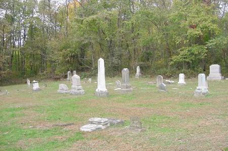
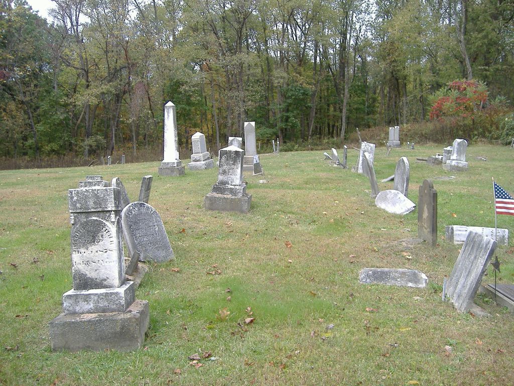
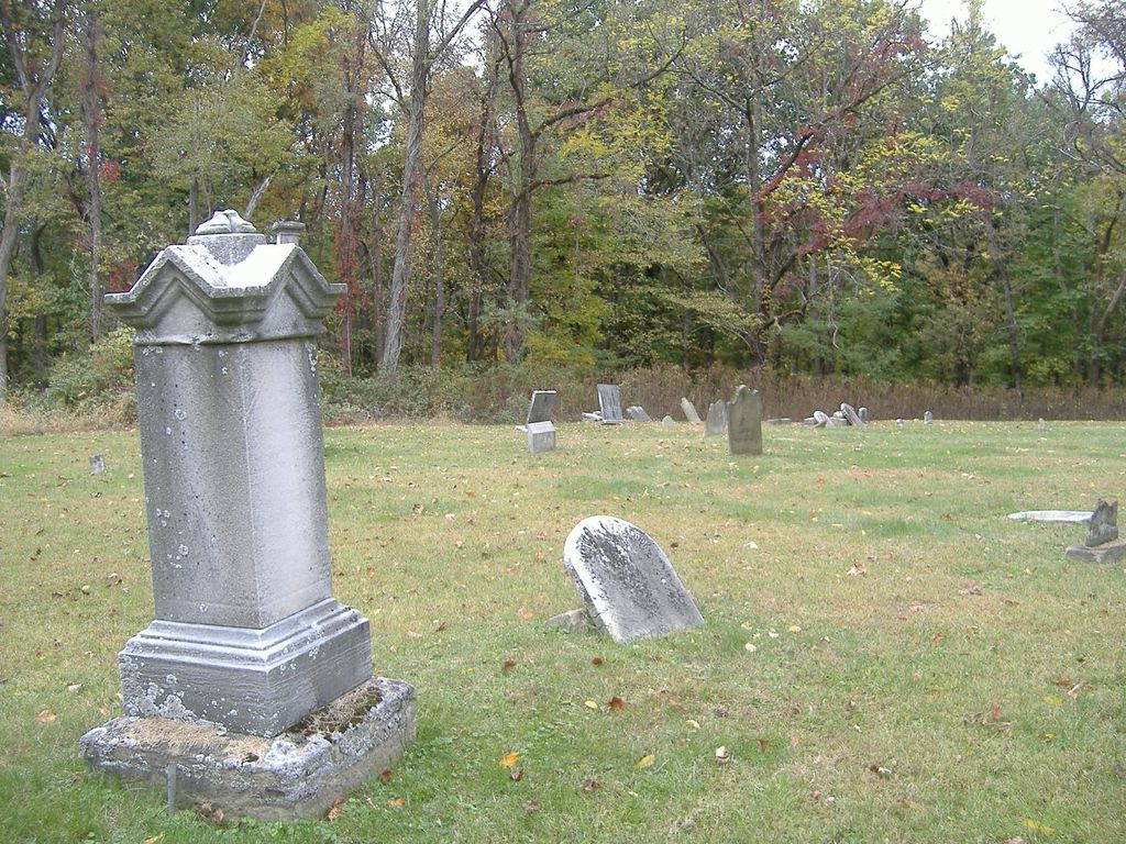
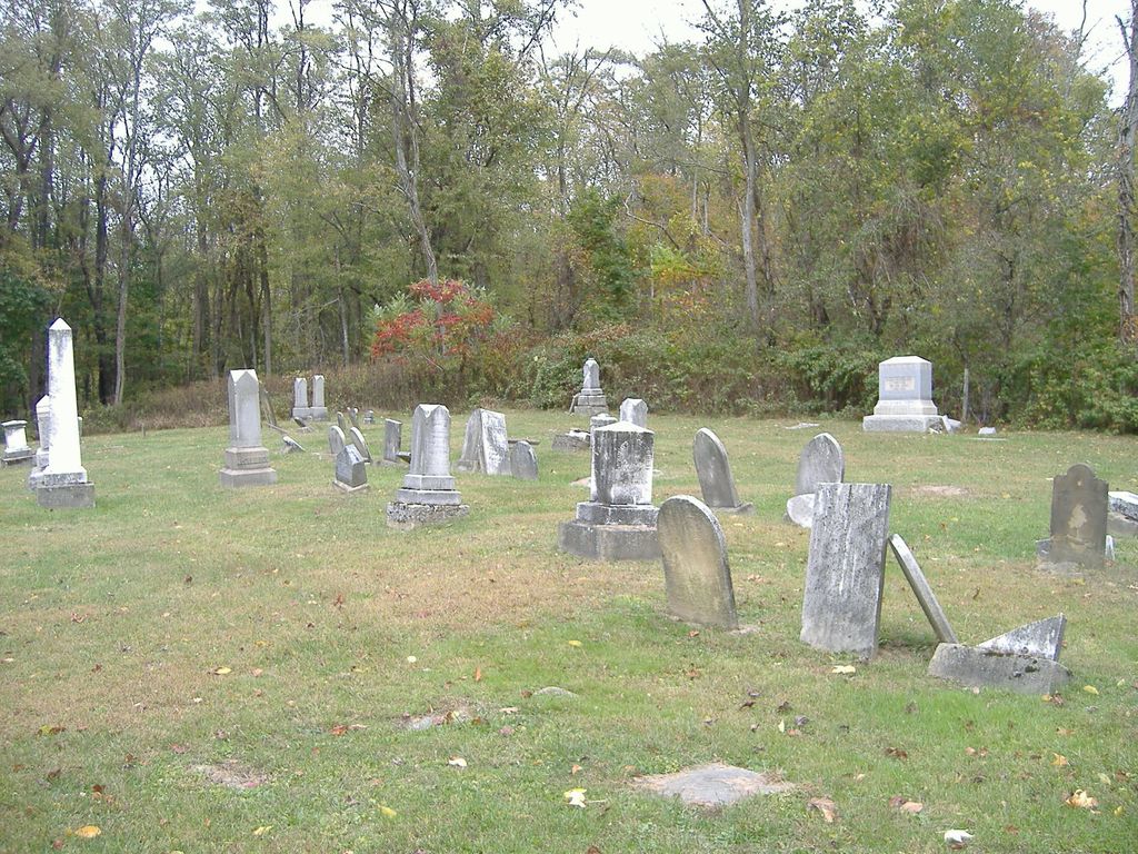
| Description | : | The cemetery is located on the north side of Bacon Ridge Road (County Road 59) about 0.5 mile west of its intersection with Township Road 262 and about 0.5 mile east of its intersection with Cemetery Road. The cemetery is located in Ross Township, Jefferson County, Ohio, and is # 6048 (Bacon Ridge Presbyterian Cemetery / Montgomerys Cemetery / Montgomery Cemetery) in “Ohio Cemeteries 1803-2003”, compiled by the Ohio Genealogical Society. The U.S. Geological Survey (USGS) Geographic Names Information System (GNIS) feature ID for the cemetery is 1043455 (Montgomery Cemetery / Bacon Ridge Presbyterian Cemetery / Montgomery’s Cemetery). |
frequently asked questions (FAQ):
-
Where is Montgomery Cemetery?
Montgomery Cemetery is located at Bacon Ridge Road (County Road 59) East Springfield, Jefferson County ,Ohio , 43908USA.
-
Montgomery Cemetery cemetery's updated grave count on graveviews.com?
0 memorials
-
Where are the coordinates of the Montgomery Cemetery?
Latitude: 40.4776540
Longitude: -80.8347600
Nearby Cemetories:
1. Shane Cemetery
Shane, Jefferson County, USA
Coordinate: 40.4808006, -80.8127975
2. Circle Green Cemetery
Springfield Township, Jefferson County, USA
Coordinate: 40.4817610, -80.8769050
3. East Springfield Cemetery
East Springfield, Jefferson County, USA
Coordinate: 40.4490890, -80.8592080
4. Mount Zion Cemetery
Holt, Jefferson County, USA
Coordinate: 40.4893400, -80.7867100
5. Wallace Cemetery
Salem Township, Jefferson County, USA
Coordinate: 40.4391170, -80.8176500
6. Mooretown Methodist Episcopal Cemetery
Ross Township, Jefferson County, USA
Coordinate: 40.5189200, -80.8391800
7. Yellow Creek Cemetery
Bergholz, Jefferson County, USA
Coordinate: 40.5193740, -80.8438470
8. All Saints Russian Orthodox Church Cemetery
Wolf Run, Jefferson County, USA
Coordinate: 40.4598130, -80.8920900
9. Kisha Farm Cemetery
Wolf Run, Jefferson County, USA
Coordinate: 40.4646988, -80.8964005
10. Davidson Cemetery
Springfield Township, Jefferson County, USA
Coordinate: 40.4441986, -80.8818970
11. Miller Cemetery
Springfield Township, Jefferson County, USA
Coordinate: 40.4509580, -80.8913850
12. Andrews Cemetery
Ross Township, Jefferson County, USA
Coordinate: 40.4674530, -80.7682190
13. Dorn Cemetery
Bergholz, Jefferson County, USA
Coordinate: 40.5257988, -80.8625031
14. Seever Cemetery
Ross Township, Jefferson County, USA
Coordinate: 40.5233561, -80.7984235
15. Amsterdam Catholic Cemetery
Amsterdam, Jefferson County, USA
Coordinate: 40.4899390, -80.9093740
16. Bergholz Cemetery
Bergholz, Jefferson County, USA
Coordinate: 40.5155983, -80.8955994
17. Richmond Union Cemetery
Richmond, Jefferson County, USA
Coordinate: 40.4289017, -80.7763977
18. Methodist-Episcopal Cemetery
Richmond, Jefferson County, USA
Coordinate: 40.4317460, -80.7709400
19. Leas Cemetery
Salem Township, Jefferson County, USA
Coordinate: 40.4106710, -80.8383720
20. Saint Joseph Cemetery
Amsterdam, Jefferson County, USA
Coordinate: 40.4756230, -80.9229770
21. Annapolis Lutheran Cemetery
Annapolis, Jefferson County, USA
Coordinate: 40.4130307, -80.8608010
22. Amsterdam Cemetery
Loudon Township, Carroll County, USA
Coordinate: 40.4752998, -80.9250031
23. Richmond United Presbyterian Cemetery
Salem Township, Jefferson County, USA
Coordinate: 40.4310989, -80.7680969
24. Annapolis Cemetery
Salem Township, Jefferson County, USA
Coordinate: 40.4100583, -80.8636942