
| Memorials | : | 2 |
| Location | : | Burning Springs, Clay County, USA |
| Coordinate | : | 37.2607180, -83.8157650 |
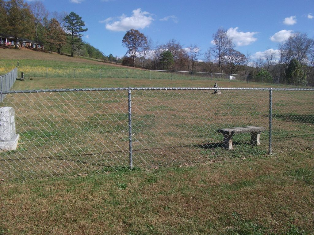
| Description | : | McQueen Family Cemetery is located on Highway 421 about.1 of a mile from Burning Springs Elementary School.If coming from Manchester you will turn right about .1 of a mile before the school.If you are traveling from the Jackson Co. direction turn left about .1 of a mile after passing the school. |
frequently asked questions (FAQ):
-
Where is Mcqueen Family Cemetery?
Mcqueen Family Cemetery is located at Burning Springs, Clay County ,Kentucky ,USA.
-
Mcqueen Family Cemetery cemetery's updated grave count on graveviews.com?
2 memorials
-
Where are the coordinates of the Mcqueen Family Cemetery?
Latitude: 37.2607180
Longitude: -83.8157650
Nearby Cemetories:
1. George McQueen Cemetery
Clay County, USA
Coordinate: 37.2618100, -83.8162100
2. Smith Cemetery #4
Burning Springs, Clay County, USA
Coordinate: 37.2691100, -83.8175700
3. Smith Cemetery #9
Burning Springs, Clay County, USA
Coordinate: 37.2692250, -83.8176530
4. Thompson Cemetery
Burning Springs, Clay County, USA
Coordinate: 37.2430000, -83.8148500
5. Woods Cemetery
Burning Springs, Clay County, USA
Coordinate: 37.2621700, -83.7846000
6. Macedonia Church Cemetery
Burning Springs, Clay County, USA
Coordinate: 37.2413400, -83.8358900
7. McDaniel Cemetery
Chestnutburg, Clay County, USA
Coordinate: 37.2825012, -83.7996979
8. Mize Branch Community Cemetery
Manchester, Clay County, USA
Coordinate: 37.2347259, -83.8159595
9. Scott Cemetery
Burning Springs, Clay County, USA
Coordinate: 37.2424500, -83.7902800
10. Lloyd Bowling Cemetery
Burning Springs, Clay County, USA
Coordinate: 37.2714000, -83.8484860
11. Spurlock-Gabbard Cemetery
Fall Rock, Clay County, USA
Coordinate: 37.2283790, -83.8050060
12. Runion Cemetery
Fall Rock, Clay County, USA
Coordinate: 37.2323100, -83.7872700
13. Cope Cemetery
Fall Rock, Clay County, USA
Coordinate: 37.2321000, -83.7874500
14. York Cemetery
Burning Springs, Clay County, USA
Coordinate: 37.2667500, -83.8624100
15. Wilson Cemetery
Burning Springs, Clay County, USA
Coordinate: 37.2826450, -83.8543290
16. Sizemore Cemetery
Fall Rock, Clay County, USA
Coordinate: 37.2217130, -83.8113370
17. Pine Grove Cemetery
Fogertown, Clay County, USA
Coordinate: 37.2431400, -83.8606400
18. Old Harris Cemetery
Sidell, Clay County, USA
Coordinate: 37.2226100, -83.8327800
19. Genty Cemetery
Chestnutburg, Clay County, USA
Coordinate: 37.2971992, -83.7932968
20. Ball Cemetery
Chestnutburg, Clay County, USA
Coordinate: 37.2933006, -83.7810974
21. Massey Cemetery
Fall Rock, Clay County, USA
Coordinate: 37.2240050, -83.7871950
22. T & B Cemetery
Laurel Creek, Clay County, USA
Coordinate: 37.2294920, -83.7782220
23. Cress Cemetery
Shepherdtown, Clay County, USA
Coordinate: 37.2638100, -83.8709100
24. Ray Cemetery
Chestnutburg, Clay County, USA
Coordinate: 37.2821999, -83.7632980