
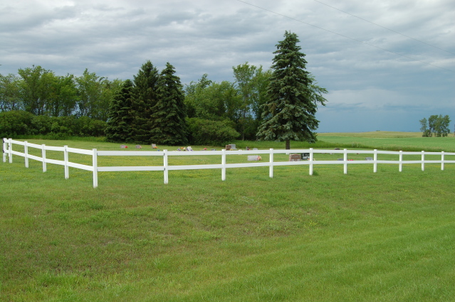
| Memorials | : | 3 |
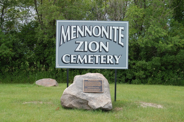
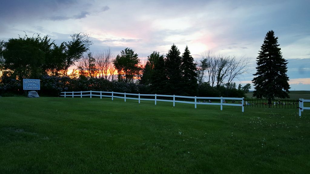
| Location | : | Arena, Burleigh County, USA |
| Coordinate | : | 47.0794400, -100.1572400 |
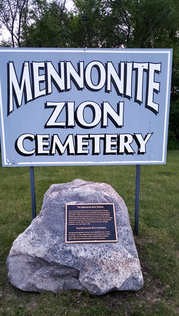
| Description | : | From the cemetery's plaque: The Mennonite Zion Church The first Mennonite settlers arrived in the Arena community in 1904 from Marion, South Dakota. Initial church services were held in the sod home of Jacob Ensz. In 1908 a church and Sunday school was formally established. Meetings were later held in the Harriet and Lein schools until 1925 when the Arena wooden school building was purchased and moved to this land donated by Jacob Ensz. The church was dedicated and a constitution presented and accepted on July 30, 1925. The church served the German and English community... Read More |
frequently asked questions (FAQ):
-
Where is Mennonite Zion Cemetery?
Mennonite Zion Cemetery is located at Arena, Burleigh County ,North Dakota ,USA.
-
Mennonite Zion Cemetery cemetery's updated grave count on graveviews.com?
3 memorials
-
Where are the coordinates of the Mennonite Zion Cemetery?
Latitude: 47.0794400
Longitude: -100.1572400


Nearby Cemetories:
1. Evangelical Immanuel Cemetery
Tuttle, Kidder County, USA
Coordinate: 47.0963000, -100.0950000
2. Saint Johns Cemetery
Arena, Burleigh County, USA
Coordinate: 47.1343994, -100.1564026
3. Zion Langedahl Cemetery
Kidder County, USA
Coordinate: 47.0825005, -100.0714035
4. Chestina Cemetery
Kidder County, USA
Coordinate: 47.0539330, -100.0408600
5. Zion Lutheran Church Cemetery
Driscoll, Burleigh County, USA
Coordinate: 46.9961900, -100.1700600
6. Wing Cemetery
Wing, Burleigh County, USA
Coordinate: 47.1380000, -100.2830000
7. Skudesness Lutheran Cemetery
Kidder County, USA
Coordinate: 47.0466995, -100.0072021
8. Ahola Cemetery
Wing, Burleigh County, USA
Coordinate: 47.0250626, -100.2952423
9. Phoenix Township Cemetery
Arena, Burleigh County, USA
Coordinate: 47.1854000, -100.1996000
10. Tuttle Cemetery
Tuttle, Kidder County, USA
Coordinate: 47.1397018, -100.0077972
11. Richmond Cemetery
Wing, Burleigh County, USA
Coordinate: 47.1922020, -100.2832570
12. Holy Cross Cemetery
Tuttle, Kidder County, USA
Coordinate: 47.1408005, -99.9464035
13. Chaska Gravesite
Driscoll, Burleigh County, USA
Coordinate: 46.9015700, -100.1330700
14. Union Cemetery
Burleigh County, USA
Coordinate: 47.0544014, -100.4203033
15. Rose Hill Cemetery
Burleigh County, USA
Coordinate: 46.9813995, -100.4338989
16. Kleve Cemetery
Robinson, Kidder County, USA
Coordinate: 47.1112800, -99.8404200
17. Saint Petri Cemetery
Kidder County, USA
Coordinate: 47.2291985, -99.9064026
18. Hazel Grove Cemetery
Wing, Burleigh County, USA
Coordinate: 47.3150940, -100.1690700
19. Stark Mennonite Church Cemetery
Wing, Burleigh County, USA
Coordinate: 47.3153800, -100.1770700
20. Jewish Cemetery
Regan, Burleigh County, USA
Coordinate: 47.1790200, -100.4751700
21. Grace Lutheran Cemetery
Driscoll, Burleigh County, USA
Coordinate: 46.8367000, -100.1409070
22. Driscoll Cemetery
Burleigh County, USA
Coordinate: 46.8356018, -100.1397018
23. Regan Cemetery
Regan, Burleigh County, USA
Coordinate: 47.1605644, -100.5173187
24. Allen Cemetery
Kidder County, USA
Coordinate: 46.9155998, -99.8647003