| Memorials | : | 0 |
| Location | : | Arena, Burleigh County, USA |
| Coordinate | : | 47.1854000, -100.1996000 |
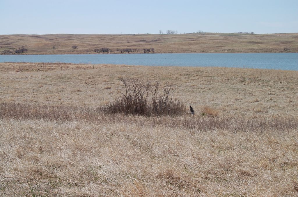
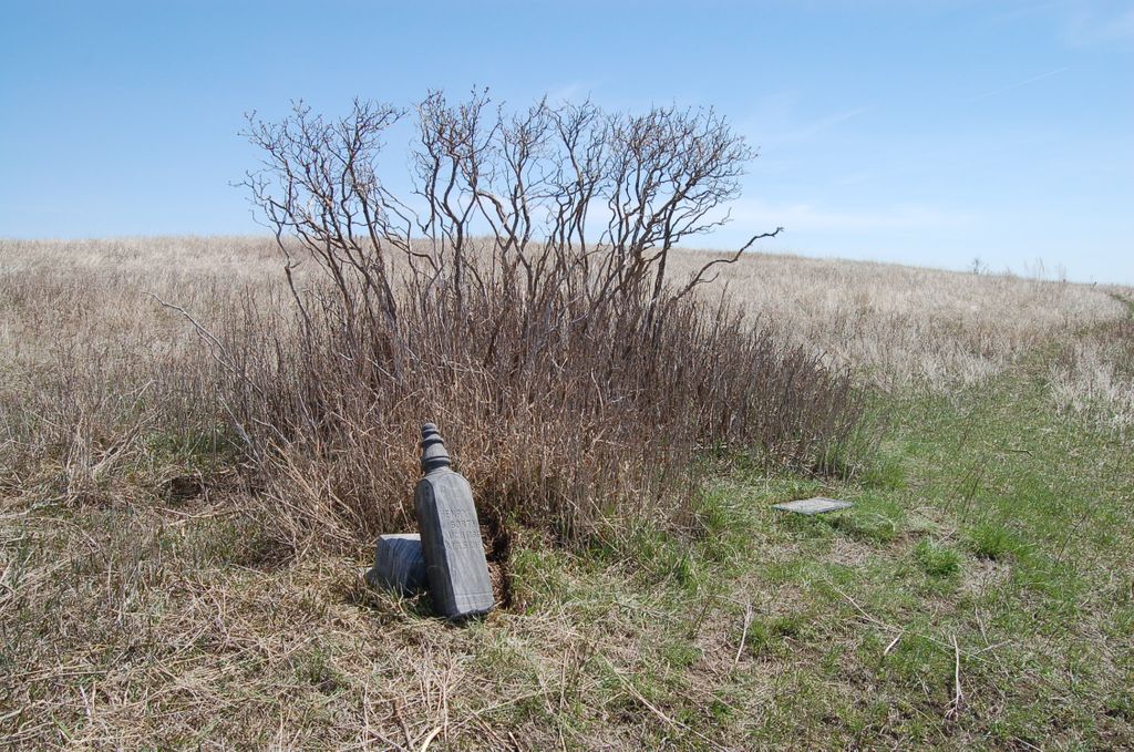
| Description | : | This cemetery was abandoned long ago and is now "in the middle of nowhere". The Burleigh County Book of Remembrances lists 4 individuals buried in the cemetery and one unnamed adult and four unnamed children, but only two gravestones were seen and nothing that looked like unmarked graves were now visible. Remnants of a wire fence that once probably surrounded the graves was seen in the bushes but other than the two gravestones nothing resembling a cemetery exists any longer. To get to the cemetery, a four-wheel drive vehicle is a must. The prairie road is very... Read More |
frequently asked questions (FAQ):
-
Where is Phoenix Township Cemetery?
Phoenix Township Cemetery is located at Arena, Burleigh County ,North Dakota ,USA.
-
Phoenix Township Cemetery cemetery's updated grave count on graveviews.com?
0 memorials
-
Where are the coordinates of the Phoenix Township Cemetery?
Latitude: 47.1854000
Longitude: -100.1996000
Nearby Cemetories:
1. Richmond Cemetery
Wing, Burleigh County, USA
Coordinate: 47.1922020, -100.2832570
2. Saint Johns Cemetery
Arena, Burleigh County, USA
Coordinate: 47.1343994, -100.1564026
3. Wing Cemetery
Wing, Burleigh County, USA
Coordinate: 47.1380000, -100.2830000
4. Mennonite Zion Cemetery
Arena, Burleigh County, USA
Coordinate: 47.0794400, -100.1572400
5. Evangelical Immanuel Cemetery
Tuttle, Kidder County, USA
Coordinate: 47.0963000, -100.0950000
6. Stark Mennonite Church Cemetery
Wing, Burleigh County, USA
Coordinate: 47.3153800, -100.1770700
7. Hazel Grove Cemetery
Wing, Burleigh County, USA
Coordinate: 47.3150940, -100.1690700
8. Zion Langedahl Cemetery
Kidder County, USA
Coordinate: 47.0825005, -100.0714035
9. Tuttle Cemetery
Tuttle, Kidder County, USA
Coordinate: 47.1397018, -100.0077972
10. Chestina Cemetery
Kidder County, USA
Coordinate: 47.0539330, -100.0408600
11. Ahola Cemetery
Wing, Burleigh County, USA
Coordinate: 47.0250626, -100.2952423
12. Holy Cross Cemetery
Tuttle, Kidder County, USA
Coordinate: 47.1408005, -99.9464035
13. Jewish Cemetery
Regan, Burleigh County, USA
Coordinate: 47.1790200, -100.4751700
14. Zion Lutheran Church Cemetery
Driscoll, Burleigh County, USA
Coordinate: 46.9961900, -100.1700600
15. Skudesness Lutheran Cemetery
Kidder County, USA
Coordinate: 47.0466995, -100.0072021
16. Union Cemetery
Burleigh County, USA
Coordinate: 47.0544014, -100.4203033
17. Saint Petri Cemetery
Kidder County, USA
Coordinate: 47.2291985, -99.9064026
18. Regan Cemetery
Regan, Burleigh County, USA
Coordinate: 47.1605644, -100.5173187
19. Johns Lake Mennonite Brethren
Burleigh County, USA
Coordinate: 47.3155289, -100.4751129
20. Denhoff Adventist Cemetery
Sheridan County, USA
Coordinate: 47.4197006, -100.2446976
21. Kleve Cemetery
Robinson, Kidder County, USA
Coordinate: 47.1112800, -99.8404200
22. Last Rest Cemetery
McClusky, Sheridan County, USA
Coordinate: 47.3417900, -100.5028400
23. Rose Hill Cemetery
Burleigh County, USA
Coordinate: 46.9813995, -100.4338989
24. Ghylin Union Cemetery
Burleigh County, USA
Coordinate: 47.1124992, -100.5808029


