| Memorials | : | 0 |
| Location | : | Packards Bend, Monroe County, USA |
| Coordinate | : | 31.7720500, -87.4610000 |
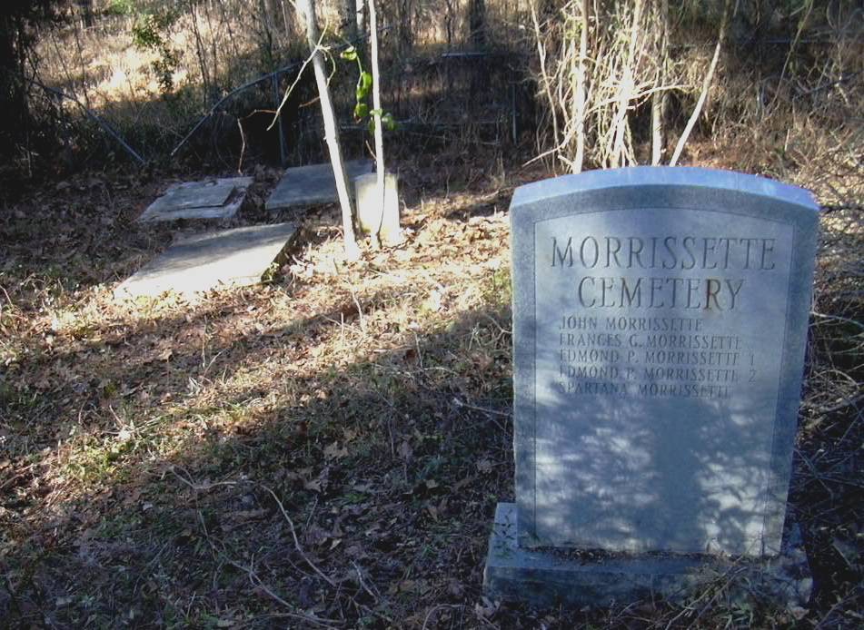
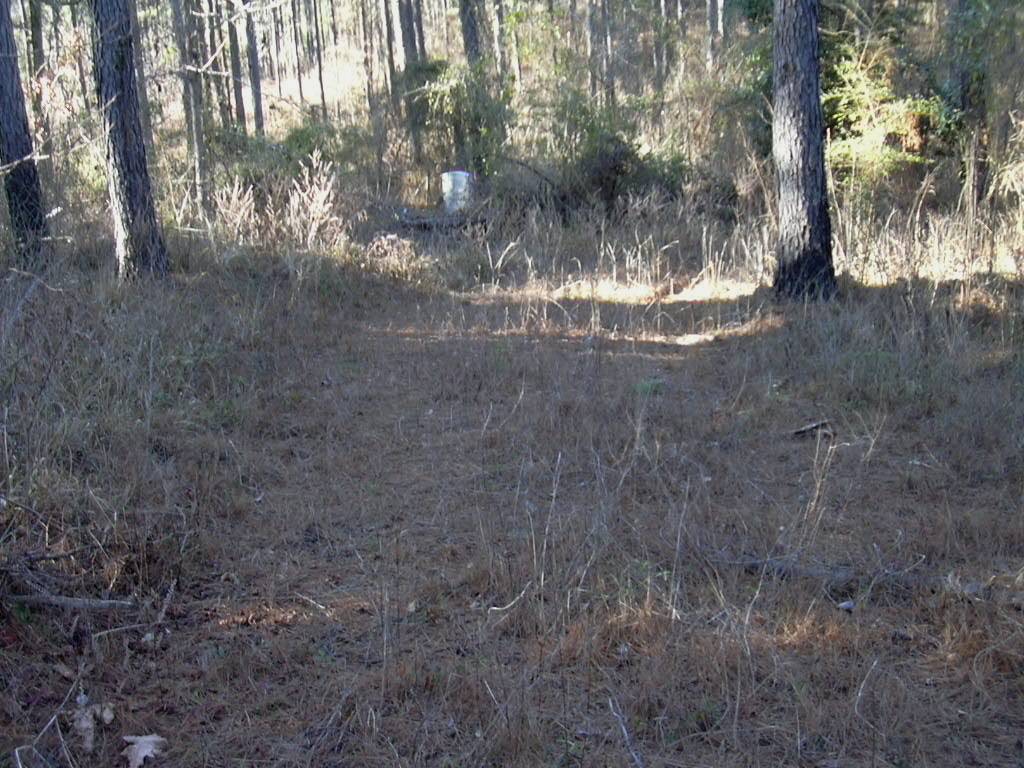
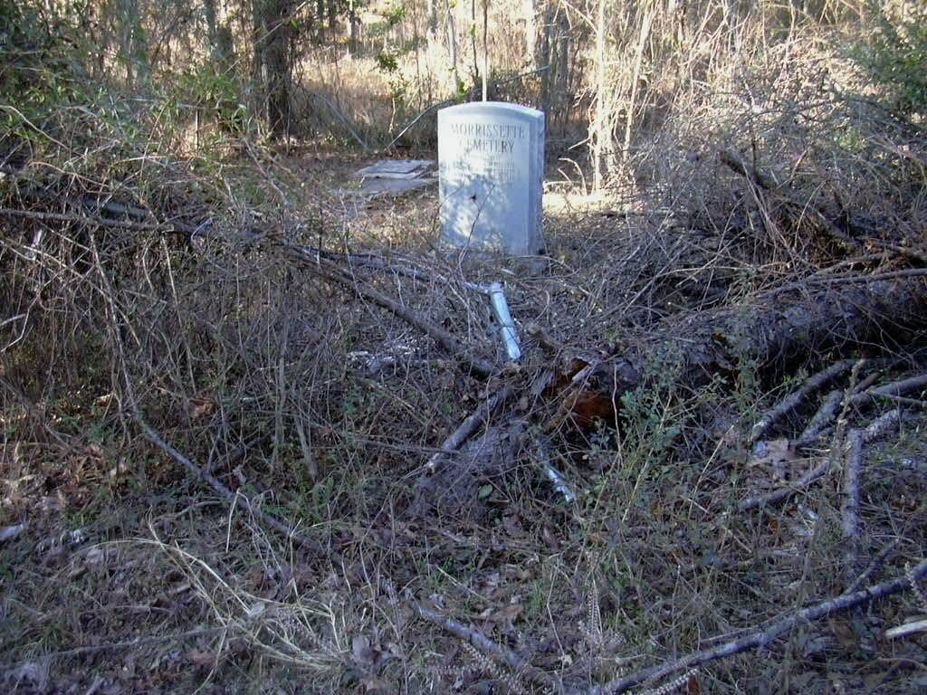
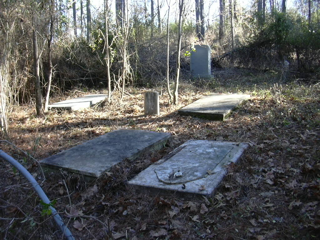
| Description | : | During the 1990's markers were badly damaged by a logging crew. Replacements have been made and remains of original markers are on the ground outside chain link fence. There are spelling errors on the replacement markers. This old family cemetery is off of Morrissette Road, which is a dirt logging road, and it would not be advisable to travel on it shortly after it has rained. The coordinates for where to stop along the road are 31.77174 and -87.46022. Once you are parked, use the coordinates for the cemetery and walk about 100 yards down the hill... Read More |
frequently asked questions (FAQ):
-
Where is Morrissette Family Cemetery?
Morrissette Family Cemetery is located at 2439 Morrissette Road Packards Bend, Monroe County ,Alabama ,USA.
-
Morrissette Family Cemetery cemetery's updated grave count on graveviews.com?
0 memorials
-
Where are the coordinates of the Morrissette Family Cemetery?
Latitude: 31.7720500
Longitude: -87.4610000
Nearby Cemetories:
1. Powell Cemetery
Packards Bend, Monroe County, USA
Coordinate: 31.7581005, -87.4617004
2. Independent Baptist Church Cemetery
Packards Bend, Monroe County, USA
Coordinate: 31.7736740, -87.4867700
3. Mount Sinai A.M.E. Church Cemetery
Lower Peach Tree, Wilcox County, USA
Coordinate: 31.7693550, -87.4942630
4. Packer Cemetery
Packards Bend, Monroe County, USA
Coordinate: 31.8075790, -87.4644330
5. Johnson-McDuffie Cemetery
Franklin, Monroe County, USA
Coordinate: 31.7479900, -87.4259500
6. Kidd and McCoy Family Cemetery
Lower Peach Tree, Wilcox County, USA
Coordinate: 31.7843420, -87.5157130
7. Chance Baptist Church Cemetery
Chance, Clarke County, USA
Coordinate: 31.7468000, -87.5309130
8. Bells Landing Cemetery
Hybart, Monroe County, USA
Coordinate: 31.8079970, -87.3973410
9. Mount Gilead Baptist Cemetery
Coy, Wilcox County, USA
Coordinate: 31.8464800, -87.4584800
10. River Ridge Cemetery
Franklin, Monroe County, USA
Coordinate: 31.7251470, -87.3897660
11. York Cemetery
Monroe County, USA
Coordinate: 31.7250004, -87.3897018
12. Hybart Cemetery
Monroe County, USA
Coordinate: 31.8132992, -87.3846970
13. Kennedy Cemetery
Chance, Clarke County, USA
Coordinate: 31.7847004, -87.5522003
14. Pine Flat Baptist Church Cemetery
Hybart, Monroe County, USA
Coordinate: 31.8197980, -87.3825610
15. Kidd Family Cemetery
Chance, Clarke County, USA
Coordinate: 31.7332200, -87.5464200
16. Saint Peter Baptist Church Cemetery
Franklin, Monroe County, USA
Coordinate: 31.7128720, -87.3924870
17. Coy Cemetery
Wilcox County, USA
Coordinate: 31.8586006, -87.4561005
18. Carr Cemetery
River Ridge, Monroe County, USA
Coordinate: 31.7657080, -87.3520520
19. Springhill First Baptist Church Cemetery
Franklin, Monroe County, USA
Coordinate: 31.6932190, -87.3952440
20. Red Hills Cemetery
Franklin, Monroe County, USA
Coordinate: 31.7326860, -87.3465070
21. Fellowship Cemetery
Clarke County, USA
Coordinate: 31.7110996, -87.5616989
22. Waymon Chapel Cemetery
Hybart, Monroe County, USA
Coordinate: 31.8387394, -87.3645450
23. McCarty Cemetery
Wilcox County, USA
Coordinate: 31.8575001, -87.3835983
24. Little Zion Baptist Church Cemetery #1
Coy, Wilcox County, USA
Coordinate: 31.8793839, -87.4890276


