
| Memorials | : | 95 |
| Location | : | Saint Joseph, Buchanan County, USA |
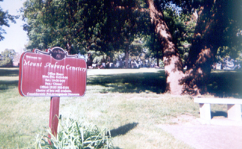
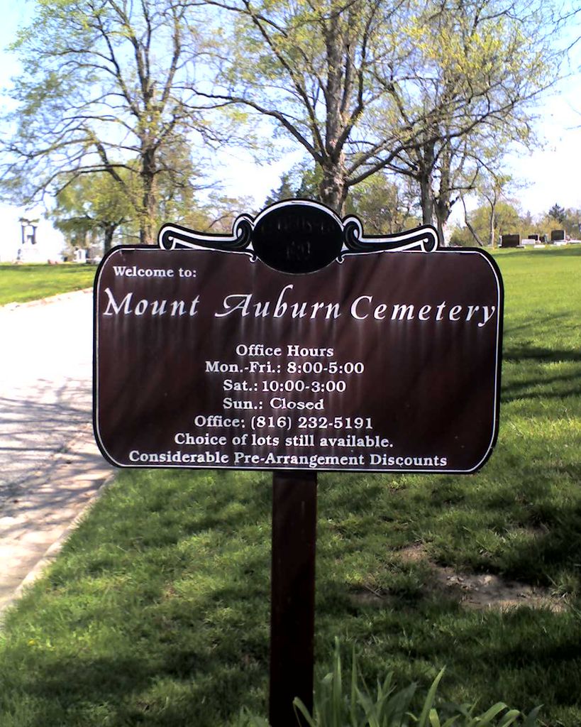
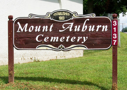
| Phone | : | (816) 232-5191 |
| Coordinate | : | 39.7859497, -94.8156281 |
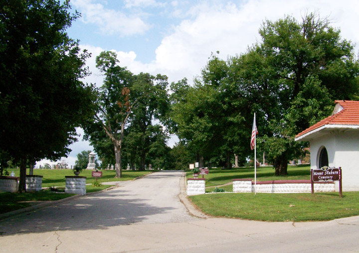
| Description | : | Driving Directions: 1. On Interstate 29 North passing through St. Joseph, Missouri, take the Frederick Blvd/Ave exit. 2. Turn Left (West) onto Frederick Blvd/Ave. to the N. Belt Highway (US169). 3. Turn Right (North) onto N. Belt Highway to Beck Road. 4. Turn Left (West) onto Beck Road to the cemetery on the North side of the Street. |
frequently asked questions (FAQ):
-
Where is Mount Auburn Cemetery?
Mount Auburn Cemetery is located at 3137 Beck Rd Saint Joseph, Buchanan County ,Missouri ,USA.
-
Mount Auburn Cemetery cemetery's updated grave count on graveviews.com?
87 memorials
-
Where are the coordinates of the Mount Auburn Cemetery?
Latitude: 39.7859497
Longitude: -94.8156281
Nearby Cemetories:
1. Adath Joseph Cemetery
Saint Joseph, Buchanan County, USA
Coordinate: 39.7860718, -94.8164215
2. Ashland Cemetery
Saint Joseph, Buchanan County, USA
Coordinate: 39.7881813, -94.8218002
3. Shaare Sholem Cemetery
Saint Joseph, Buchanan County, USA
Coordinate: 39.7889404, -94.8234482
4. Mount Olivet Cemetery
Saint Joseph, Buchanan County, USA
Coordinate: 39.7953262, -94.8294296
5. State Hospital Cemetery
Saint Joseph, Buchanan County, USA
Coordinate: 39.7717209, -94.8067780
6. Mount Mora Cemetery
Saint Joseph, Buchanan County, USA
Coordinate: 39.7743225, -94.8418808
7. Saint Joseph Memorial Park
Saint Joseph, Buchanan County, USA
Coordinate: 39.7796249, -94.7824707
8. Buchanan County Poor Farm Cemetery
Saint Joseph, Buchanan County, USA
Coordinate: 39.8170160, -94.8113140
9. Maxwell Cemetery
Saint Joseph, Buchanan County, USA
Coordinate: 39.8065948, -94.8490295
10. Sunbridge Cemetery
Saint Joseph, Buchanan County, USA
Coordinate: 39.8053818, -94.8513336
11. Bnai Sholem Cemetery
Buchanan County, USA
Coordinate: 39.8191986, -94.7988968
12. Green Valley Cemetery
Andrew County, USA
Coordinate: 39.8211594, -94.8477020
13. Felix Cemetery
Saint Joseph, Buchanan County, USA
Coordinate: 39.8090330, -94.8673600
14. Leanord Cemetery
Buchanan County, USA
Coordinate: 39.7459989, -94.7832187
15. Fairview Cumberland Presbyterian Cemetery
Country Club Village, Andrew County, USA
Coordinate: 39.8283005, -94.7857971
16. Elwood Cemetery
Elwood, Doniphan County, USA
Coordinate: 39.7652300, -94.8760500
17. Samuel Ball Green Cemetery
Andrew County, USA
Coordinate: 39.8264400, -94.8586500
18. Todd Cemetery
Country Club Village, Andrew County, USA
Coordinate: 39.8342018, -94.8424988
19. Ozenberger Cemetery
Buchanan County, USA
Coordinate: 39.8050003, -94.7461014
20. Green Cemetery
Country Club Village, Andrew County, USA
Coordinate: 39.8333015, -94.8632965
21. Nelson Cemetery
Buchanan County, USA
Coordinate: 39.7201614, -94.8059692
22. Oak Ridge Cemetery
Andrew County, USA
Coordinate: 39.8394012, -94.7444000
23. Vanschoiack Cemetery
Andrew County, USA
Coordinate: 39.8647003, -94.8056030
24. Vanschoiack West Cemetery
Andrew County, USA
Coordinate: 39.8649935, -94.8091622