
| Memorials | : | 83 |
| Location | : | Saint Joseph, Buchanan County, USA |
| Phone | : | 816-232-8471 |
| Website | : | www.mountmora.org |
| Coordinate | : | 39.7743225, -94.8418808 |
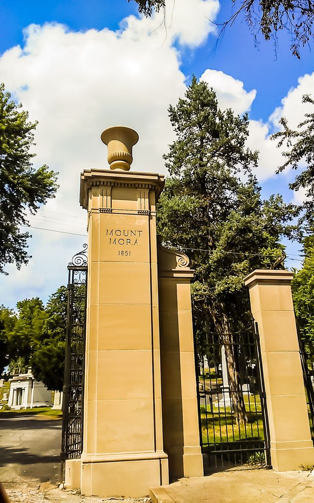
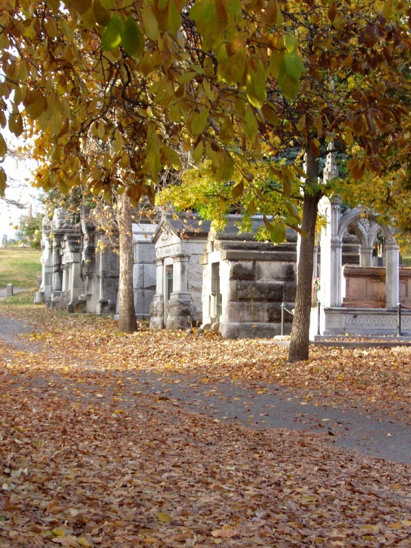
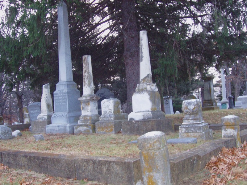
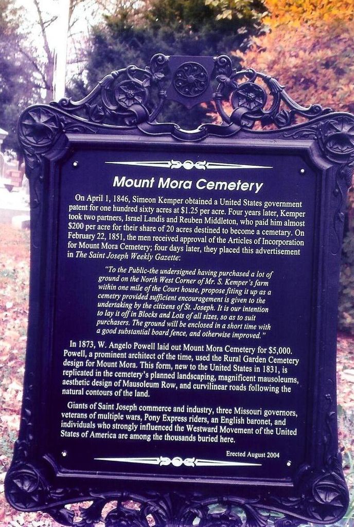
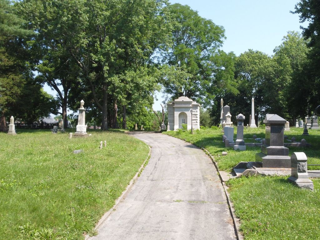
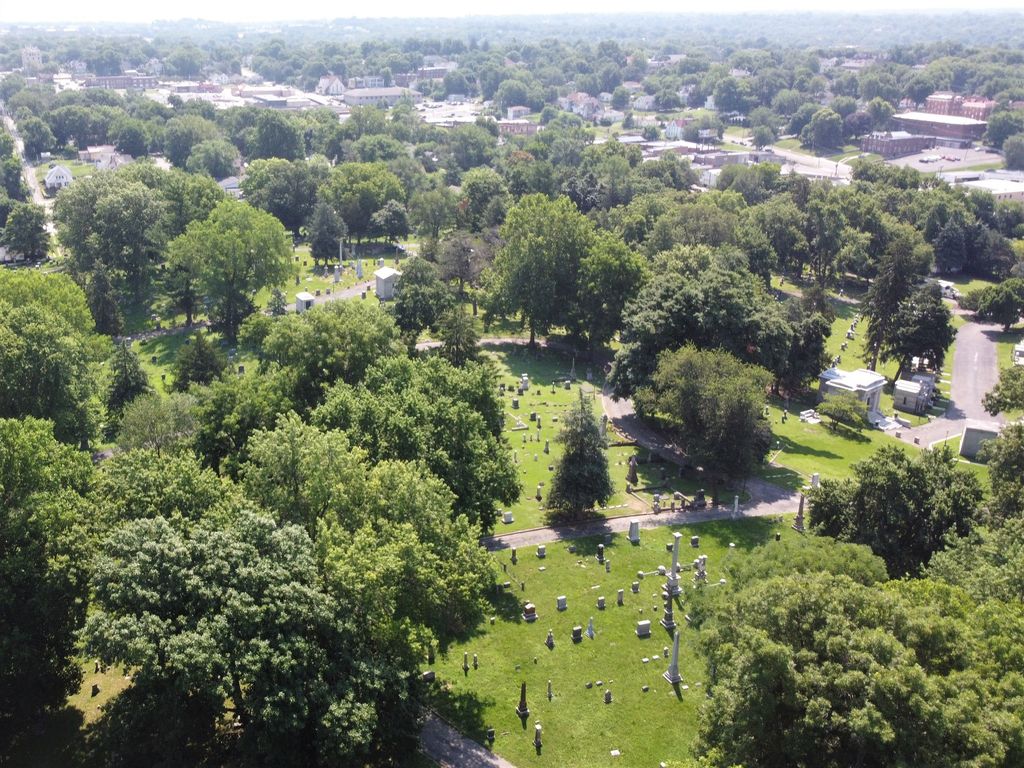
| Description | : | Mount Mora Cemetery, established in 1851, is the oldest operating cemetery in Saint Joseph, Missouri. It is listed in the National Register of Historic Places and is an interpretive site of The St. Joseph Museums, Inc. Mount Mora was once the most fashionable burial place for many of St. Joseph’s wealthy and powerful citizens. The boom years of the post Civil War period, known as St. Joseph’s “Golden Age,” gave rise to the building of some of the finest residential architecture in the Midwest, and to some of the finest tomb architecture as well. |
frequently asked questions (FAQ):
-
Where is Mount Mora Cemetery?
Mount Mora Cemetery is located at 824 Mount Mora Road Saint Joseph, Buchanan County ,Missouri , 64501USA.
-
Mount Mora Cemetery cemetery's updated grave count on graveviews.com?
76 memorials
-
Where are the coordinates of the Mount Mora Cemetery?
Latitude: 39.7743225
Longitude: -94.8418808


Nearby Cemetories:
1. Shaare Sholem Cemetery
Saint Joseph, Buchanan County, USA
Coordinate: 39.7889404, -94.8234482
2. Ashland Cemetery
Saint Joseph, Buchanan County, USA
Coordinate: 39.7881813, -94.8218002
3. Adath Joseph Cemetery
Saint Joseph, Buchanan County, USA
Coordinate: 39.7860718, -94.8164215
4. Mount Olivet Cemetery
Saint Joseph, Buchanan County, USA
Coordinate: 39.7953262, -94.8294296
5. Mount Auburn Cemetery
Saint Joseph, Buchanan County, USA
Coordinate: 39.7859497, -94.8156281
6. State Hospital Cemetery
Saint Joseph, Buchanan County, USA
Coordinate: 39.7717209, -94.8067780
7. Elwood Cemetery
Elwood, Doniphan County, USA
Coordinate: 39.7652300, -94.8760500
8. Sunbridge Cemetery
Saint Joseph, Buchanan County, USA
Coordinate: 39.8053818, -94.8513336
9. Maxwell Cemetery
Saint Joseph, Buchanan County, USA
Coordinate: 39.8065948, -94.8490295
10. Felix Cemetery
Saint Joseph, Buchanan County, USA
Coordinate: 39.8090330, -94.8673600
11. Saint Joseph Memorial Park
Saint Joseph, Buchanan County, USA
Coordinate: 39.7796249, -94.7824707
12. Green Valley Cemetery
Andrew County, USA
Coordinate: 39.8211594, -94.8477020
13. Buchanan County Poor Farm Cemetery
Saint Joseph, Buchanan County, USA
Coordinate: 39.8170160, -94.8113140
14. Leanord Cemetery
Buchanan County, USA
Coordinate: 39.7459989, -94.7832187
15. Samuel Ball Green Cemetery
Andrew County, USA
Coordinate: 39.8264400, -94.8586500
16. Bnai Sholem Cemetery
Buchanan County, USA
Coordinate: 39.8191986, -94.7988968
17. Todd Cemetery
Country Club Village, Andrew County, USA
Coordinate: 39.8342018, -94.8424988
18. Nelson Cemetery
Buchanan County, USA
Coordinate: 39.7201614, -94.8059692
19. Green Cemetery
Country Club Village, Andrew County, USA
Coordinate: 39.8333015, -94.8632965
20. Fairview Cumberland Presbyterian Cemetery
Country Club Village, Andrew County, USA
Coordinate: 39.8283005, -94.7857971
21. Odd Fellows Public Cemetery
Saint Joseph, Buchanan County, USA
Coordinate: 39.7031593, -94.8320999
22. New King Hill Cemetery
Saint Joseph, Buchanan County, USA
Coordinate: 39.7033005, -94.8569031
23. Ozenberger Cemetery
Buchanan County, USA
Coordinate: 39.8050003, -94.7461014
24. Jackson Cemetery
Wathena, Doniphan County, USA
Coordinate: 39.8260994, -94.9244003