
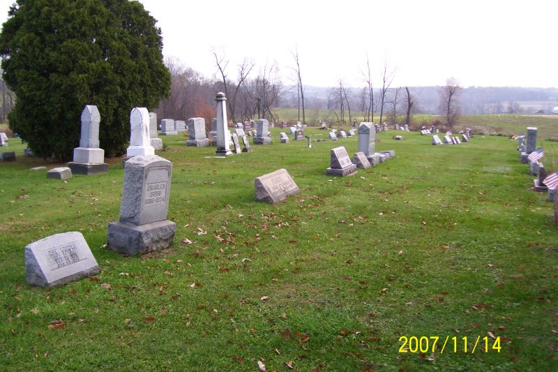
| Memorials | : | 2 |
| Location | : | West Lebanon, Wayne County, USA |
| Coordinate | : | 40.7258987, -81.6653976 |
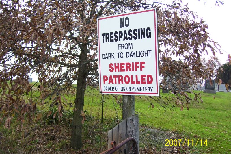
| Description | : | Located on the southeast side of Massillon Road (State Route 241), north of Water Street, south of Elton Road in Paint Township. |
frequently asked questions (FAQ):
-
Where is West Lebanon Lutheran Cemetery?
West Lebanon Lutheran Cemetery is located at Massillon Rd (State Rte 241) West Lebanon, Wayne County ,Ohio ,USA.
-
West Lebanon Lutheran Cemetery cemetery's updated grave count on graveviews.com?
2 memorials
-
Where are the coordinates of the West Lebanon Lutheran Cemetery?
Latitude: 40.7258987
Longitude: -81.6653976

Nearby Cemetories:
1. Sugar Creek Township Cemetery
West Lebanon, Wayne County, USA
Coordinate: 40.7294998, -81.6688004
2. West Lebanon Union Cemetery
West Lebanon, Wayne County, USA
Coordinate: 40.7262170, -81.6736130
3. Ananias Hershberger Farm Cemetery
West Lebanon, Wayne County, USA
Coordinate: 40.7350190, -81.6700240
4. Simon Farm Cemetery
Mount Eaton, Wayne County, USA
Coordinate: 40.7068890, -81.6532220
5. McFarren Cemetery
Brewster, Stark County, USA
Coordinate: 40.7233900, -81.6254000
6. Pleasant Grove Cemetery
Minerva, Stark County, USA
Coordinate: 40.7018190, -81.6339770
7. Pleasant Valley Cemetery
Wayne County, USA
Coordinate: 40.7622986, -81.6677017
8. New Life Chapel Cemetery
Dalton, Wayne County, USA
Coordinate: 40.7626200, -81.6680700
9. Boughman Cemetery
Brewster, Stark County, USA
Coordinate: 40.7216650, -81.6145560
10. Westlawn Cemetery
Mount Eaton, Wayne County, USA
Coordinate: 40.6973000, -81.7026978
11. Stanwood Cemetery
Stanwood, Stark County, USA
Coordinate: 40.7591019, -81.6340027
12. Menno Miller Farm Cemetery
Mount Eaton, Wayne County, USA
Coordinate: 40.6844480, -81.6627220
13. Mount Eaton French and German Reformed Cemetery
Mount Eaton, Wayne County, USA
Coordinate: 40.6924440, -81.7001670
14. Mount Eaton Lutheran Cemetery
Mount Eaton, Wayne County, USA
Coordinate: 40.6926003, -81.7005005
15. Joe Zook Cemetery
Mount Eaton, Wayne County, USA
Coordinate: 40.7190580, -81.7214860
16. Baptist Cemetery
Brewster, Stark County, USA
Coordinate: 40.6918983, -81.6181030
17. Foxfield Preserve Cemetery
Wilmot, Stark County, USA
Coordinate: 40.6819150, -81.6312930
18. Sonnenberg Pioneer Cemetery
Kidron, Wayne County, USA
Coordinate: 40.7600010, -81.7210720
19. Sonnenberg Mennonite Cemetery
Kidron, Wayne County, USA
Coordinate: 40.7561989, -81.7267990
20. Salem Mennonite Church Cemetery
Kidron, Wayne County, USA
Coordinate: 40.7589989, -81.7321014
21. Reed Cemetery
Brewster, Stark County, USA
Coordinate: 40.7039500, -81.5901200
22. Hershberger Cemetery
Mount Eaton, Wayne County, USA
Coordinate: 40.6968994, -81.7367020
23. Welty Cemetery
Brewster, Stark County, USA
Coordinate: 40.6856003, -81.5988998
24. Kidron Mennonite Church Cemetery
Kidron, Wayne County, USA
Coordinate: 40.7507019, -81.7462997